Huntersville in Pocahontas County, West Virginia — The American South (Appalachia)
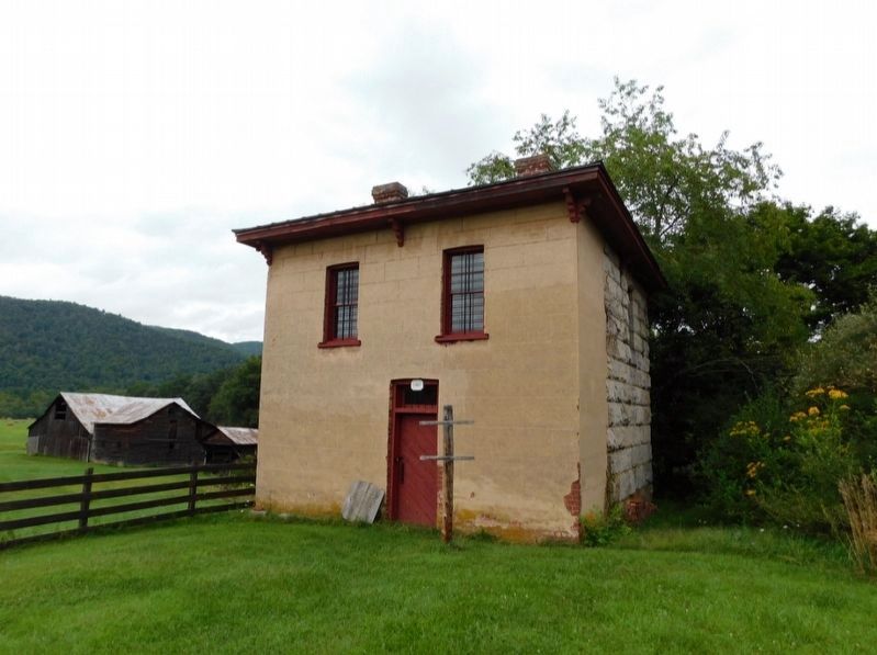
Huntersville Jail
⎯⎯⎯
Presbyterian Church
Photographed by Craig Swain, July 10, 2010
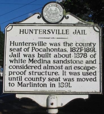
1. Huntersville Jail Side
Huntersville Jail. Huntersville was the county seat of Pocahontas, 1821-1891. Jail was built about 1878 of white Medina sandstone and considered almost an escape-proof structure. It was used until county seat was moved to Marlinton in 1891.
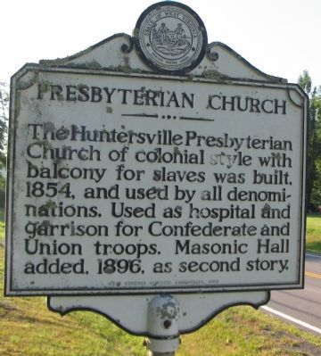
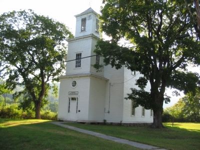
Presbyterian Church. The Huntersville Presbyterian Church of the colonial style with balcony for slaves was built, 1854, and used by all denominations. Used as hospital and garrison for Confederate and Union troops. Masonic Hall added, 1896, as second story.
Erected 1963 by West Virginia Historic Commission.
Topics and series. This historical marker is listed in these topic lists: Fraternal or Sororal Organizations • Government & Politics • Religion & Religious Structures • War, US Civil. In addition, it is included in the West Virginia Archives and History series list. A significant historical year for this entry is 1878.
Location. 38° 11.4′ N, 80° 1.062′ W. Marker is in Huntersville, West Virginia, in Pocahontas County. It is at the intersection of Huntersville Road (State Highway 39) and Beaver Creek Road (County Road 21), on the right when traveling east on
this page online

Regionally, this marker is in West Virginia’s Potomac Highlands. It is also in the American South, specifically in the Upper South, in Appalachia, and specifically in Southern Appalachia. Globally, it is in North America, the Western Hemisphere, the Western World, and the Anglosphere. Historically, it finds itself in what was once the territory of the Mississippian Culture.
Other nearby markers. At least 8 other markers are within 5 miles of this marker, measured as the crow flies: Huntersville (about 500 feet away, measured in a direct line); Huntersville Jail (about 500 feet away); a different marker also named Huntersville (about 600 feet away); Raid on Huntersville (about 700 feet away); Tuscarora (Clinton) Sand (approx. 0.8 miles away); Camp Northwest (approx. 2.6 miles away); A Hidden History (approx. 4.6 miles away); History of Welcoming (approx. 4.7 miles away). Touch for a list and map of all markers in Huntersville.
Photographed by Craig Swain, July 10, 2010
2. Presbyterian Church Side
Photographed by Craig Swain, July 10, 2010
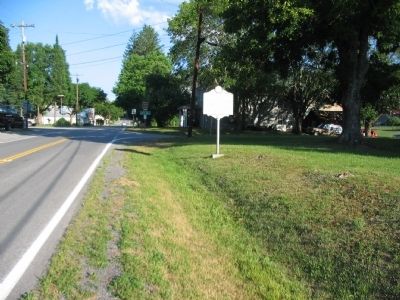
3. Huntersville Jail / Presbyterian Church Marker
Photographed by Craig Swain, July 10, 2010
4. Huntersville Presbyterian Church
Photographed by Jimmy Emerson, August 23, 2019
5. Huntersville Jail (in Marlinton)
Credits. This page was last revised on July 10, 2026. It was originally submitted on August 8, 2010, by Craig Swain of Leesburg, Virginia. This page has been viewed 1,307 times since then and 40 times this year. Last updated on July 9, 2026, by Jimmy Emerson of Dalton, Georgia. Photos: 1, 2, 3, 4. submitted on August 8, 2010, by Craig Swain of Leesburg, Virginia. 5. submitted on June 27, 2026, by Jimmy Emerson of Dalton, Georgia. • Devry Becker Jones was the editor who published this page.
