Crossroads Community in Kingsland in Cleveland County, Arkansas — The American South (West South Central)
Crossroads Methodist Church
Crossroads Cemetery
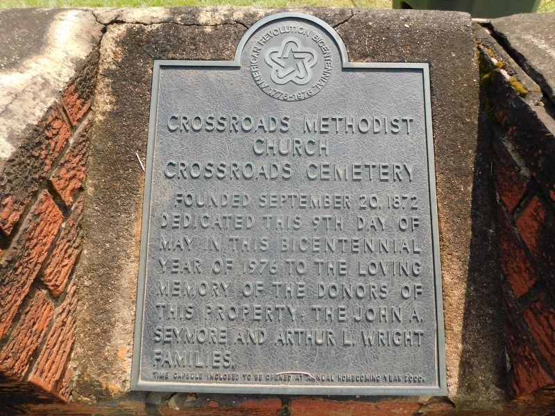
Photographed by Jimmy Emerson, July 5, 2026
1. Crossroads Methodist Church Marker
Founded September 20, 1872
Dedicated this 9th day of May in this Bicentennial year of 1976 to the loving memory of the donors of this property: The John A. Seymore and Arthur L Wright Families.
Erected 1976 by Crossroads Church Committe & Bicentennial Committe.
Topics and series. This historical marker is listed in these topic lists: Cemeteries & Burial Sites • Religion & Religious Structures. In addition, it is included in the The Spirit of ’76, America’s Bicentennial Celebration, and the Time Capsules series lists. A significant historical year for this entry is 1872.
Location. 33° 54.673′ N, 92° 18.938′ W. Marker is in Kingsland, Arkansas, in Cleveland County. It is in Crossroads Community. It is at the intersection of Crossroads Road and Sims Road, on the right when traveling north on Crossroads Road. Touch for map. Marker is at or near this postal address: 3480 Crossroads Road, Kingsland AR 71652, United States of America. Touch for directions.

Regionally, this marker is in the Gulf Coastal Plain. It is also in the American South,
this page online
Other nearby markers. At least 8 other markers are within 9 miles of this marker, measured as the crow flies: Johnny Cash Birthplace (within shouting distance of this marker); Johnny Cash Returns (approx. 3.8 miles away); Johnny Cash Day in Arkansas / Johnny Cash 1976 Concert (approx. 7.8 miles away); Cash Family Reunions / Johnny Cash, AKA "William Overton" (approx. 8 miles away); Site of Paul "Bear" Bryant's Boyhood Home (approx. 8.1 miles away); Road to Marks' Mills / Battle of Marks' Mills (approx. 8.8 miles away); First Presbyterian Church (approx. 8.9 miles away); Cleveland County Court House (approx. 8.9 miles away). Touch for a list and map of all markers in Kingsland.
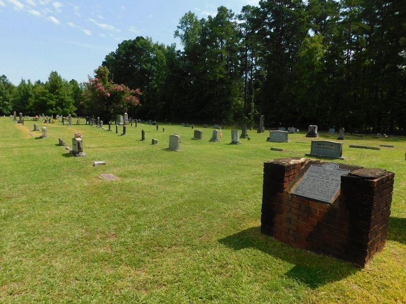
Photographed by Jimmy Emerson, July 5, 2026
2. Crossroads Methodist Church & Cemetery Marker
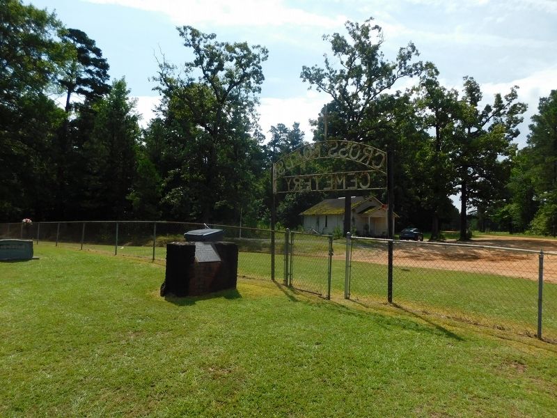
Photographed by Jimmy Emerson, July 5, 2026
3. Crossroads Methodist Church Marker
The Johnny Cash Birthplace historic marker is in the distance across the road near the old church.
Credits. This page was last revised on July 10, 2026. It was originally submitted on July 9, 2026, by Jimmy Emerson of Dalton, Georgia. This page has been viewed 16 times since then. Photos: 1, 2, 3. submitted on July 9, 2026, by Jimmy Emerson of Dalton, Georgia. • Andrew Ruppenstein was the editor who published this page.
