
Wytheville in Wythe County, Virginia — The American South (Mid-Atlantic)
Battle of Wytheville
The Road to Mount Airy Depot
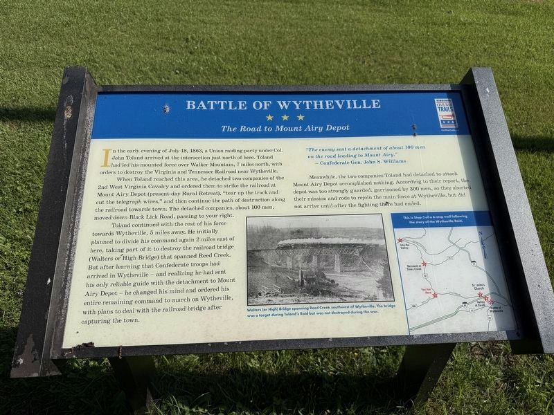
In the early evening of July 18, 1863, a Union raiding party under Col. John Toland arrived at the instersection just north of here. Toland had led his mounted force over Walker Moutnain, 7 miles north, with orders to destroy the Virginia and Tennessee Railroad near Wytheville.
When Toland reached this area, he detached two companies of the 2nd West Virginia Cavalry and ordered them to stirke the railroad at Mount Airy Depot (present-day Rural Retreat), "tear up the track and cut the telegraph wires," and then continue the path of destruction along the railroad towards town. The detached companies, about 100 men, moved down Black Lick Road, passing to your right.
Toland continued with the rest of his force towards Wytheville, 5 miles away. He initially planned to divide his command again 2 miles east of here, taking part of it to destroy the railroad bridge (Walters or High Bridge) that spanned Reed Creek. But after learning that Confederate troops had arrived in Wytheville — and realizing he had sent only his reliable guide with the detachment to Mount Airy Depot — he changed his mind and ordered his entire remaining
this page online
Meanwhile, the two companies Toland had detached to attack Mount Airy Depot accomplished nothing. According to their report, the depot was too strongly guarded, garrisoned by 300 men, so they aborted their mission and rode to rejoin the main force at Wytheville, but did not arrive until after the fighting there had ended.
"The enemy sent a detachment of about 100 men on the road leading to Mount Airy."
— Confederate Gen. John S. Williams
[Captions:]
Walters (or High) Bridge spanning Reed Creek southwest of Wytheville. The bridge was a target during Toland's Raid but was not destroyed during the war.
Erected by Virginia Civil War Trails.
Topics and series. This historical marker is listed in these topic lists: Communications • Railroads & Streetcars • War, US Civil. In addition, it is included in the Virginia Civil War Trails series list. A significant historical date for this entry is July 18, 1863.
Location. 36° 57.93′ N, 81° 10.817′ W. Marker is in Wytheville, Virginia, in Wythe County. It is on Black Lick Road (Virginia
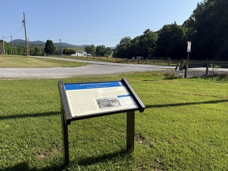

Regionally, this marker is in Southwest Virginia and in the Blue Ridge Highlands. It is also in the American South, specifically in the Upper South, in Appalachia, and specifically in Southern Appalachia. Globally, it is in North America, the Western Hemisphere, the Western World, and the Anglosphere. Historically, it finds itself in what was once the territory of the Mississippian Culture, one of the original Thirteen Colonies, one of the Confederate States of America, and the Antebellum South.
Other nearby markers. At least 8 other markers are within 5 miles of this marker, measured as the crow flies: A different marker also named Battle of Wytheville (approx. 3.1 miles away); Homesteader's Legacy (approx. 4.2 miles away); Patriot Burials (approx. 4.4 miles away); a different marker also named Battle of Wytheville (approx. 4.4 miles away); George Daniel Flohr (approx. 4.4 miles away); The Flohr House (approx. 4.4 miles away); St. John’s Lutheran Church (approx. 4.4 miles away); Historic St. John Lutheran Church (approx. 4.4 miles away). Touch for a list and map of all markers in Wytheville.
Other markers no longer nearby. Battle of Wytheville (was a few steps from this marker but has been replaced with another marker now near it); a different marker also named Battle of Wytheville (was approx. 3.1 miles away but has been replaced with another marker now near it); a different marker also named Battle of Wytheville (was approx. 4.4 miles away but has been replaced with another marker now near it).
Credits. This page was last revised on July 10, 2026. It was originally submitted on July 10, 2026, by Devry Becker Jones of Washington, District of Columbia. This page has been viewed 19 times since then. Photos: 1, 2. submitted on July 10, 2026, by Devry Becker Jones of Washington, District of Columbia.
