Cobalt in Timiskaming District, Ontario — Central Canada (North America)
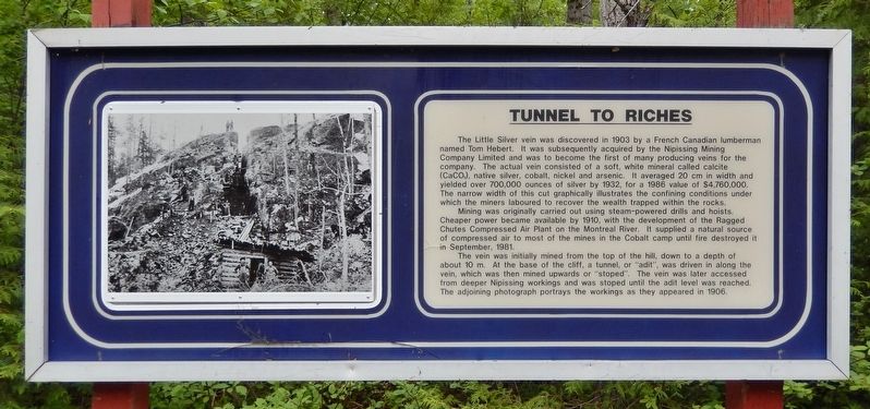
Tunnel to Riches
Photographed by Cosmos Mariner, June 2, 2022
1. Tunnel to Riches Marker
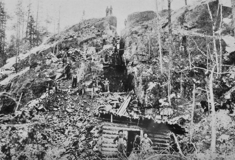
The Little Silver vein was discovered in 1903 by a French Canadian lumberman named Tom Hebert. It was subsequently acquired by the Nipissing Mining Company Limited and was to become the first of many producing veins for the company. The actual vein consisted of a soft, white mineral called calcite (CaCO3), native silver, cobalt, nickel and arsenic. It averaged 20 cm in width and yielded over 700,000 ounces of silver by 1932, for a 1986 value of $4,760,000. The narrow width of this cut graphically illustrates the confining conditions under which the miners laboured to recover the wealth trapped within the rocks.
Mining was originally carried out using steam-powered drills and hoists. Cheaper power became available by 1910, with the development of the Ragged Chutes Compressed Air Plant on the Montreal River. It supplied a natural source of compressed air to most of the mines in the Cobalt camp until fire destroyed it in September, 1981.
The vein was initially mined from the top of the hill, down to a depth of about 10 m. At the base of the cliff, a tunnel, or “adit”, was driven in along the vein, which was then mined upwards
this page online
Erected by Cobalt Historical Society.
Topics. This historical marker is listed in this topic list: Industry & Commerce. A significant historical year for this entry is 1903.
Location. 47° 23.154′ N, 79° 41.245′ W. Marker is in Cobalt, Ontario, in Timiskaming District. It can be reached from Coleman Road one kilometer east of Provincial Highway 11B, on the right when traveling east. The marker is at the Little Silver Vein Site, Heritage Silver Trail Site 4. The site is about 180 meters south of Coleman Road. Touch for map. Marker is at or near this postal address: 797606 Coleman Road, Cobalt ON P0J 1C0, Canada. Touch for directions.

Regionally, this marker is in Northeastern Ontario and specifically in Northern Ontario. It is also in Central Canada. Globally, it is in North America, the Great North Woods, the Western Hemisphere, the Western World, and the Anglosphere. Historically, it finds itself in what was once a British
2. Marker detail: The Little Silver Cut
Other nearby markers. At least 8 other markers are within walking distance of this marker: Nipissing Vein No. 96 (approx. 0.3 kilometers away); Cobalt Lake Mine (approx. 0.3 kilometers away); Cart Lake (approx. 0.4 kilometers away); The McKinley-Darragh Story (approx. 0.4 kilometers away); Tri-town Trolleys (approx. 0.4 kilometers away); Early Prospecting Techniques (approx. 0.6 kilometers away); Nipissing High Grade Mill (approx. 0.6 kilometers away); Townsite #1 Shaft / Le puits n°1 de la mine Townsite (approx. 0.8 kilometers away). Touch for a list and map of all markers in Cobalt.
Also see . . . Little Silver Vein (Cobalt Historical Society).
Excerpt: This vein was discovered by a young lumberjack turned prospector in the autumn of 1903. Tom Hebert was a member of a prospecting syndicate formed by Arthur Ferland of Haileybury, and this vein was his third discovery. A few weeks later, the Ontario Provincial Geologist, Dr. Willet Green Miller examined this showing and described it as “a vein such as one reads(Submitted on July 11, 2026, by Cosmos Mariner of Cape Canaveral, Florida.)of in textbooks, but which is rarely seen, being so clearly defined and so rich in contents.” The vein averaged eight inches in width with vugs and branches in the wall rock and with native silver lying on the rock ledges.Photographed by Cosmos Mariner, June 2, 20223. Tunnel to Riches MarkerThe marker is near the abandoned mine entrance.The Ferland Syndicate sold this claim and several adjoining claims to the Nipissing Mining Company of New York. The Little Silver Vein produced 700,000 ounces of silver. All of Nipissing Mining operations in the area ceased in 1932.

Photographed by Cosmos Mariner, June 2, 2022
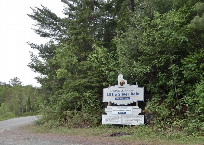
4. Little Silver Vein, Site #4, Heritage Silver Trail
Turn south from Coleman Road here to access the Little Silver vein site and marker.
Photographed by Cosmos Mariner, June 2, 2022
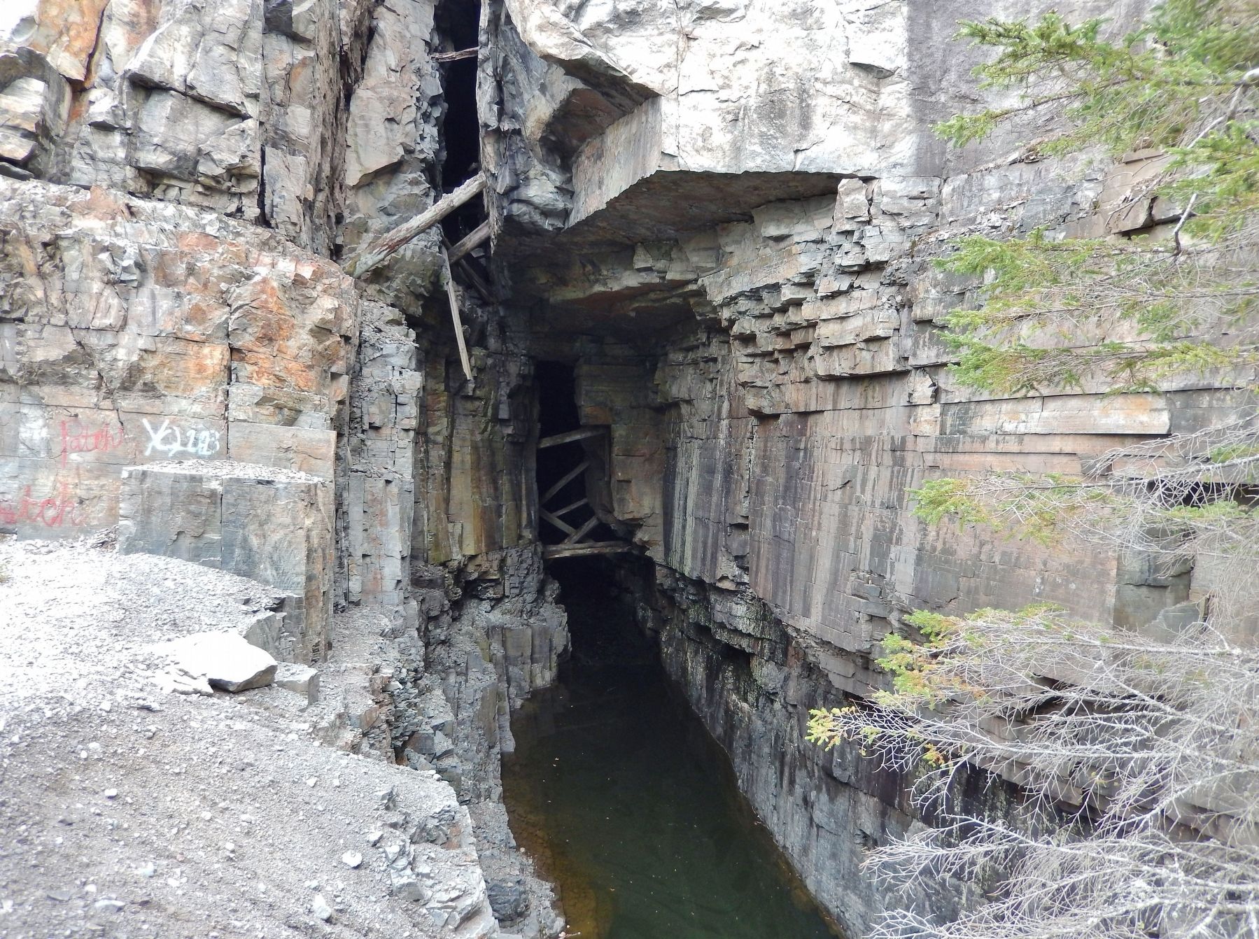
5. Litte Silver Vein Site
It is abandoned and fenced off today.
Credits. This page was last revised on July 11, 2026. It was originally submitted on July 10, 2026, by Cosmos Mariner of Cape Canaveral, Florida. This page has been viewed 18 times since then. Photos: 1, 2, 3, 4, 5. submitted on July 11, 2026, by Cosmos Mariner of Cape Canaveral, Florida.
