Staunton, Virginia — The American South (Mid-Atlantic)
Queen Miller Home
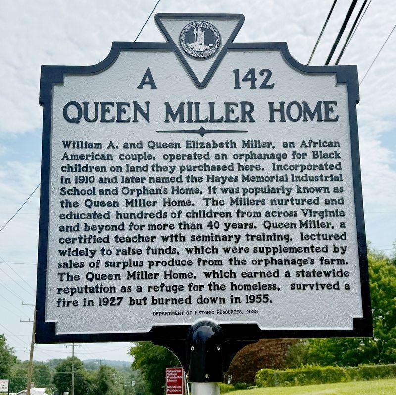
William A. and Queen Elizabeth Miller, an African American couple, operated an orphanage for Black children on land they purchased here. Incorporated in 1910 and later named the Hayes Memorial Industrial School and Orphan's Home, it was popularly known as the Queen Miller Home. The Millers nurtured and educated hundreds of children from across Virignia and beyond for more than 40 years. Queen Miller, a certified teacher with seminary training, lectured widely to raise funds, which were supplemented by sales of surplus produce from the orphanage's farm. The Queen Miller Home, which eanred a statewide reputation as a refuge for the homeless, survived a fire in 1927 but burned down in 1955.
Erected 2025 by Department of Historic Resources. (Marker Number A-142.)
Topics and series. This historical marker is listed in these topic lists: African Americans • Charity & Public Work • Education • Women. In addition, it is included in the Virginia Department of Historic Resources (DHR) series list. A significant historical year for this entry is 1910.
Location. 38° 9.165′ N, 79° 6.627′ W. Marker is in Staunton,
this page online

Regionally, this marker is in the Shenandoah Valley. It is also in the American South and specifically in the Upper South. Globally, it is in North America, the Western Hemisphere, the Western World, and the Anglosphere. Historically, it finds itself in what was once the territory of the Mississippian Culture, one of the original Thirteen Colonies, one of the Confederate States of America, and the Antebellum South.
Other nearby markers. At least 8 other markers are within 2 miles of this marker, measured as the crow flies: Farming and Freedom at Montgomery Hall (approx. 1.1 miles away); A Mansion in the New Republic: (approx. 1.1 miles away); The Long Road to Freedom (approx. 1.1 miles away); Montgomery Hall (approx. 1.1 miles away); Digging Into The Past (approx. 1.1 miles away); Held in Bondage (approx. 1.1 miles away); Shining Light on Their Humanity (approx.

Photographed by Devry Becker Jones (CC0), July 5, 2026
2. Queen Miller Home Marker
The home is visible in the background.
Credits. This page was last revised on July 17, 2026. It was originally submitted on July 10, 2026, by Devry Becker Jones of Washington, District of Columbia. This page has been viewed 31 times since then. Photos: 1, 2. submitted on July 10, 2026, by Devry Becker Jones of Washington, District of Columbia.
