Near Crowheart in Fremont County, Wyoming — The American West (Mountains)
Crowheart Butte
Photographed by Barry Swackhamer, May 30, 2016
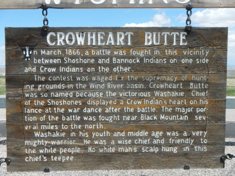
1. Crowheart Butte Marker
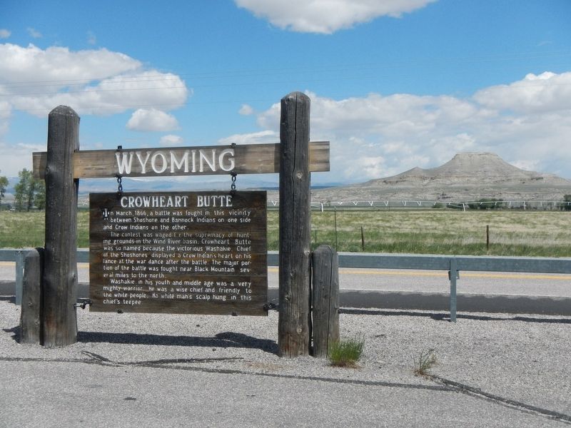
In March, 1866, a battle was fought in this vicinity between Shoshone and Bannock Indians on one side and Crow Indians on the other.
The contest was waged for the supremacy of hunting grounds in the Wind River basin. Crowheart Butte was so named because the victorious Washakie, Chief of the Shoshones, displayed a Crow Indian's heart on his lance at the war dance after the battle. The major portion of the battle was fought near Black Mountain several miles to the north.
Washakie, in his youth and middle age, was a very mighty warrior. He was a wise chief and friendly to the white people. No white man's scalp hung in this chief's teepee.
Erected by Wyoming State Parks and Historic Sites.
Topics. This historical marker is listed in this topic list: Indigenous Peoples and Communities. A significant historical month for this entry is March 1866.
Location. This marker has been replaced by another marker nearby. It was located near 43° 16.404′ N, 109° 6.96′ W. Marker was near Crowheart, Wyoming, in Fremont County. It was on U.S. 287 near Sand Draw Road, on the left. Touch for map. Marker was at or near this postal address:
this page online

Regionally, this marker was on the Wind River Indian Reservation and in Wind River Country. It was also in the American Mountain West. Globally, it was in North America, the Rocky Mountains, the Western Hemisphere, the Western World, and the Anglosphere.
Other nearby markers. At least 2 other markers are within 7 miles of this location, measured as the crow flies: The Riverton Project (approx. 6.2 miles away); Wyoming Winds (approx. 6.2 miles away).
More about this marker. This marker is locate at a turnout on the south side of U.S. Highway 287/26.
The marker was replaced with a new marker of same name but different text February 24, 2026.
Additional keywords. Washakie
Photographed by Barry Swackhamer, May 30, 2016
2. Crowheart Butte and Marker
Photographed by Barry Swackhamer, May 30, 2016
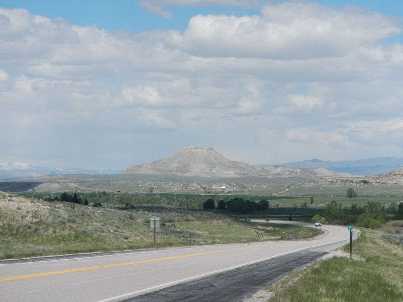
3. Crowheart Butte
Credits. This page was last revised on July 14, 2026. It was originally submitted on July 28, 2016, by Barry Swackhamer of Brentwood, California. This page has been viewed 1,816 times since then and 220 times this year. Last updated on July 11, 2026, by Jimmy Emerson of Dalton, Georgia. Photos: 1, 2, 3. submitted on July 28, 2016, by Barry Swackhamer of Brentwood, California. • Devry Becker Jones was the editor who published this page.
