Manassas, Virginia — The American South (Mid-Atlantic)
Albert Speiden
1900s
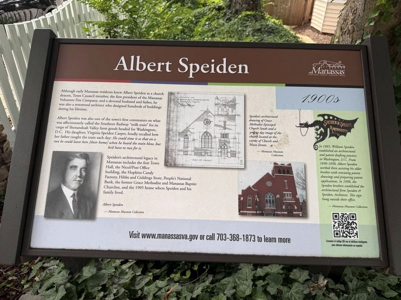
Although early Manassas residents knew Albert Speiden as a church deacon, Town Council member, the first resident of the Manassas Volunteer Fire Company, and a devoted husband and father, he was also a renowned architect who designed hundreds of buildings during his lifetime.
Albert Speiden was also one of the town's first commuters on what was affectionately called the Southern Railway "milk train" for its cargo of Shenandoah Valley farm goods headed for Washington, D.C. His daughter, Virginia Speiden Carper, fondly recalled how her father caught the train each day: He could time it so that on a run he could leave here [their home] when he heard the train blow, but he'd have to run for it.
Speiden's architectural legacy in Manassas includes the first Town Hall, the Nichol/Post Office building, the Hopkins Candy Factory, Hibbs and Giddings Store, People's National Bank, the former Grace Methodist and Manassas Baptist Churches, and the 1905 home where Speiden and his family lived.
[Captions:]
Albert Speiden
— Manassas Museum Collection
Speiden's architectural drawing of Grace Methodist Episcopal Church South and a present day image of the church located at the corner of Church and Main Streets.
— Manassas Museum Collection
In 1885, William Speiden established an architectural and patent drafting practice in Washington, D.C. From 1890-1898, Albert Speiden worked there assisting his older brother with executing patent drawings and preparing patent applications. In 1896, the Speiden brothers established the architectural firm Speiden & Speiden, Architects. This sign hung outside their office.
— Manassas Museum Collection
Erected by City
this page online
Topics and series. This historical marker is listed in these topic lists: Architecture • Industry & Commerce • Railroads & Streetcars • Religion & Religious Structures. In addition, it is included in the Virginia, City of Manassas series list. A significant historical year for this entry is 1905.
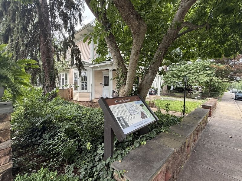
Location. 38° 45.162′ N, 77° 28.373′ W. Marker is in Manassas, Virginia. It is on Battle Street north of Quarry Road, on the left when traveling north. Touch for map. Marker is at or near this postal address: 9320 Battle St, Manassas VA 20110, United States of America. Touch for directions.

Regionally, this marker is in the Washington Metropolitan Area and in Northern Virginia. It is also in the American South, specifically in the Upper South, and in the Mid-Atlantic. Globally, it is in North America, the Western Hemisphere, the Western World, and the Anglosphere. Historically, it finds itself in what was once the territory of the Mississippian Culture, one of the original Thirteen Colonies, one of the Confederate States of America, and the Antebellum South.
Other nearby markers. At least
Another marker is no longer nearby. Manassas 1900 (was about 400 feet away, measured in a direct line but has been replaced with another marker now near it).
Credits. This page was last revised on July 12, 2026. It was originally submitted on July 12, 2026, by Devry Becker Jones of Washington, District of Columbia. This page has been viewed 13 times since then. Photos: 1, 2. submitted on July 12, 2026, by Devry Becker Jones of Washington, District of Columbia.
