
Cobalt in Timiskaming District, Ontario — Central Canada (North America)
Early Prospecting Techniques
Nipissing Hill Lookout
| — | Heritage Silver Trail Site #7 | — |
Photographed by Cosmos Mariner, June 2, 2022
1. Early Prospecting Techniques Marker
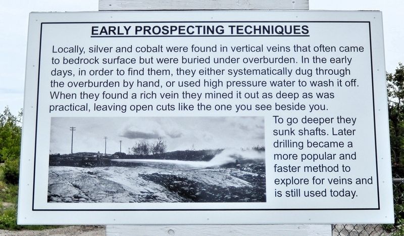
Locally, silver and cobalt were found in vertical veins that often came to bedrock surface but were buried under overburden. In the early days, in order to find them, they either systematically dug through the overburden by hand, or used high pressure water to wash it off. When they found a rich vein they mined it out as deep as was practical, leaving open cuts like the one you see beside you. To go deeper they sunk shafts. Later drilling became a more popular and faster method to explore for veins and is still used today.
Erected by Cobalt Historical Society.
Topics. This historical marker is listed in this topic list: Industry & Commerce.
Location. 47° 23.363′ N, 79° 40.931′ W. Marker is in Cobalt, Ontario, in Timiskaming District. It can be reached from Nipissing Road 0.3 kilometers east of Coleman Road, on the right when traveling north. The marker about 200 meters east of Nipissing Road. It is near the Nipissing Hill Lookout, Heritage Silver Trail Site #7. Touch for map. Marker is in this post office area: Cobalt ON P0J 1C0, Canada. Touch for directions.

Regionally,
this page online
Other nearby markers. At least 8 other markers are within walking distance of this marker: Nipissing High Grade Mill (a few steps from this marker); Cobalt Lake Mine (approx. 0.4 kilometers away); Tunnel to Riches (approx. 0.6 kilometers away); Cobalt Public School (approx. 0.6 kilometers away); Cart Lake (approx. 0.6 kilometers away); Cobalt Street & Grandview Hill / La rue Cobalt et la côte Grandview (approx. 0.7 kilometers away); Townsite #1 Shaft / Le puits n°1 de la mine Townsite (approx. 0.7 kilometers away); The Cobalt Town Hall / L'hôtel-de-ville de Cobalt (approx. 0.7 kilometers away). Touch for a list and map of all markers in Cobalt.
Also see . . . Nipissing Mine (Wikipedia).
Excerpt: The Nipissing Mine is an(Submitted on July 14, 2026, by Cosmos Mariner of Cape Canaveral, Florida.)abandoned silver mine in Cobalt, Ontario, Canada, located on Nip Hill on the east side of Long Lake. It was developed in the Cobalt silver rush of 1903. By 1907, it was the top producing mine in the area. The company completely surrounded Peterson and Carr lakes and occupied the east side of Cobalt Lake. At its peak, the mine had ten shafts working three veins, the Kendall, Meyer and Fourth of July. Additionally, it used hydraulics to strip the overburden and employed an aerial tramway. The last dividend was paid in 1921. The mine continued to operate during the 1920s by harvesting remnants and areas overlooked during the early boom years. With the onset of the Great Depression, the price of silver collapsed and the mine became uneconomic.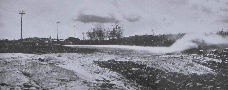 2. Marker detail: High Pressure Water
Photographed by Cosmos Mariner, June 2, 2022
3. Early Prospecting Techniques Marker
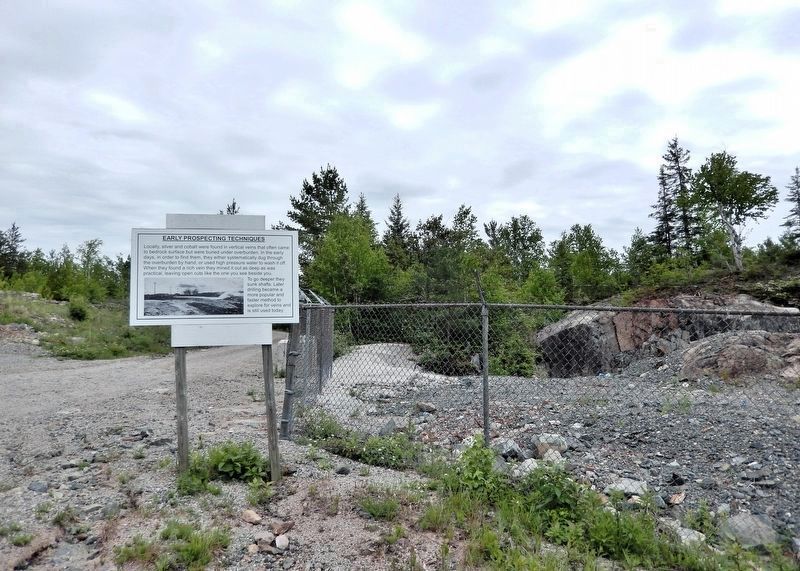
The remains of a massive open cut are guarded by the fence on the right.
Photographed by Cosmos Mariner, June 2, 2022
4. Nipissing Hill Lookout Site #7 Sign
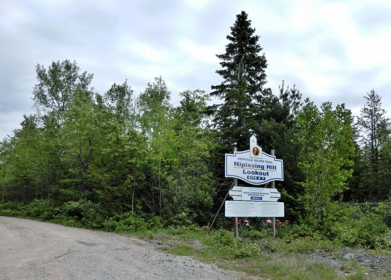
Turn here from Nipissing Road to access this marker.
Credits. This page was last revised on July 14, 2026. It was originally submitted on July 13, 2026, by Cosmos Mariner of Cape Canaveral, Florida. This page has been viewed 7 times since then. Photos: 1, 2, 3, 4. submitted on July 14, 2026, by Cosmos Mariner of Cape Canaveral, Florida.
