Mount Elba in Toledo in Cleveland County, Arkansas — The American South (West South Central)
Temperance Chapel Cemetery and Site of a Methodist Church South

Photographed by Jimmy Emerson, July 5, 2026
1. Temperance Chapel Cemetery and Site of a Methodist Church South Marker
Madison Tate McGehee and his wife Lucy Cosby McGehee sold this 4 acres of land on June 13, 1854 for forty dollars to the trustees of Temperance Chapel Methodist Church South. The trustees were S. Treadwell, S. Mathew, C.A. Standfield, C. Varnell an Thomas Chowning. A two story building, was on this property at the time of purchase. The McGehee's specified the use of the lower floor by the Methodist Church and the upper floor to be used by the Masonic Fraternity and any Temperance Association. The remainder the land was to be used as a public burying ground.
Erected 1976 by Cleveland County Bicentennial Committe.
Topics and series. This historical marker is listed in these topic lists: Cemeteries & Burial Sites • Fraternal or Sororal Organizations • Religion & Religious Structures. In addition, it is included in the The Spirit of ’76, America’s Bicentennial Celebration series list. A significant historical year for this entry is 1854.
Location. 33° 53.013′ N, 92° 9.489′ W. Marker is in Toledo, Arkansas, in Cleveland County. It is in Mount Elba. It is on Mt. Elba Road East (County Road 122) south of Mt. Elba
this page online

Regionally, this marker is in the Gulf Coastal Plain. It is also in the American South, specifically in the Upper South, and in the Piney Woods. Globally, it is in North America, the Western Hemisphere, the Western World, and the Anglosphere. Historically, it finds itself in what was once the territory of the Mississippian Culture, the Louisiana Purchase, one of the Confederate States of America, and the Antebellum South.
Other nearby markers. At least 8 other markers are within 9 miles of this marker, measured as the crow flies: Cleveland County Court House (approx. 3 miles away); Johnny Cash Day in Arkansas / Johnny Cash 1976 Concert (approx. 5.1 miles away); Cash Family Reunions / Johnny Cash, AKA "William Overton" (approx. 5½ miles away); Johnny Cash Returns (approx. 8.1 miles away); Battle of Marks' Mills / Marks Family Experience (approx. 8.4 miles away); Shelby's Approach (approx. 8.4 miles away); Cleveland County Battle of Mark's Mill
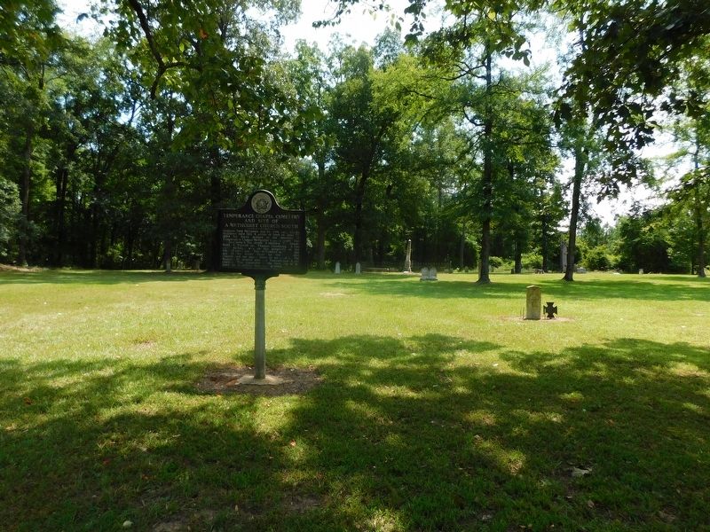
Photographed by Jimmy Emerson, July 5, 2026
2. Temperance Chapel Cemetery and Site of a Methodist Church South Marker
Regarding Temperance Chapel Cemetery and Site of a Methodist Church South. The cemetery, also known as Cherry Cemetery, was listed on the National Register of Historic Places in 2024.
Also see . . . Cherry Cemetery NRHP nomination form (Arkansas Heritage). Excerpt:
The Cherry Cemetery on Mt. Elba Road in the Rison vicinity of Cleveland County, Arkansas, is being nominated under Criterion A with local significance for its associations with the Mt. Elba community and early settlement in the area. The earliest marked burial in the Cherry Cemetery is that of Mary Cherry who died on May 16, 1851, which was only four years after a post office was established in Mt. Elba. Of the 40 marked burials in the Cherry Cemetery, the majority of them occurred before 1880, and only three marked burials occurred after 1900. In fact, many of the unmarked burials occurred during the 1860s, specifically after the Battle of Mt. Elba during the Civil War. The burials that occurred in the Cherry Cemetery reflect the rise and fall of the community, and today the Cherry(Submitted on July 13, 2026, by Jimmy Emerson of Dalton, Georgia.)Cemetery is the only resource left that is associated with the nineteenth-century history of Mt. Elba when the area was settled. The cemetery is also being nominated to the National Register under Criteria Consideration D: Cemeteries as a cemetery that derives its significance for its associations with historic events. The period of significance for the cemetery is 1851-1900, which begins with the first marked burial and ends when the community of Mt. Elba reached its peak.Photographed by Jimmy Emerson, July 5, 20263. Temperance Chapel Cemetery and Site of a Methodist Church South Marker
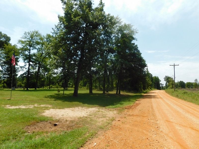

Photographed by Jimmy Emerson, July 5, 2026
4. Temperance Chapel Cemetery
Credits. This page was last revised on July 14, 2026. It was originally submitted on July 9, 2026, by Jimmy Emerson of Dalton, Georgia. This page has been viewed 39 times since then. Last updated on July 14, 2026, by Jimmy Emerson of Dalton, Georgia. Photos: 1, 2, 3, 4. submitted on July 9, 2026, by Jimmy Emerson of Dalton, Georgia. • Devry Becker Jones was the editor who published this page.
