Rockwall in Rockwall County, Texas — The American South (West South Central)
Chandler Cemetery
Photographed by James Hulse, July 12, 2026
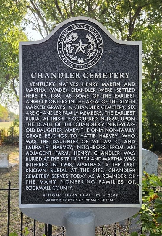
1. Chandler Cemetery Marker
Kentucky natives Henry Martin and Martha (Wade) Chandler were settled here by 1860 as some of the earliest Anglo pioneers in the area. Of the seven marked graves in Chandler Cemetery, six are Chandler family members. The earliest burial at this site occurred in 1869, upon the death of the Chandlers' nine-year-old daughter, Mary. The only non-family grave belongs to Hattie Harvey, who was the daughter of William C. and Laura F. Harvey, neighbors from an adjacent farm. Henry Chandler was buried at the site in 1904 and Martha was interred in 1908; Martha's is the last known burial at the site. Chandler Cemetery serves today as a reminder of the many pioneering families of Rockwall County.
Erected 2009 by Texas Historical Commission. (Marker Number 16359.)
Topics. This historical marker is listed in this topic list: Cemeteries & Burial Sites. A significant historical year for this entry is 1860.
Location. 32° 52.52′ N, 96° 28.606′ W. Marker is in Rockwall, Texas, in Rockwall County. It is at the intersection of Henry M Chan Drive and Ridge Road (Farm to Market Road 740), on the left when traveling west on Henry M Chan Drive. The marker is located 150 yards west of the intersection of Henry Chandler Road and Ridge Road (F.M. 740) on the south side of Henry Chandler. Touch for map. Marker is at or near this postal address: 90 Henry M Chan Dr, Rockwall TX 75032, United States of America. Touch for directions.

Regionally, this marker is in the Prairies & Lakes Region and in the Dallas-Fort Worth Metropolitan Area. It is also in the American South. Globally, it is in North America, a Gulf of Mexico state, the Western Hemisphere, the Western World, and the Anglosphere. Historically, it finds itself in what was once New Spain, the Republic of Texas, one of the Confederate
this page online
Other nearby markers. At least 8 other markers are within 4 miles of this marker, measured as the crow flies: Glen Hill Cemetery (approx. one mile away); First Presbyterian Church of Rockwall (approx. 1.9 miles away); Sterling Rex Barnes (approx. 2½ miles away); Heath Methodist Church (approx. 2.6 miles away); Central National Road of the Republic of Texas (approx. 3.1 miles away); First Baptist Church of Rockwall (approx. 3½ miles away); Rockwall Memorial Cemetery (approx. 3.9 miles away); East Trinity Lodge No. 157, A.F. & A.M. (approx. 4 miles away). Touch for a list and map of all markers in Rockwall.
Photographed by James Hulse, July 12, 2026
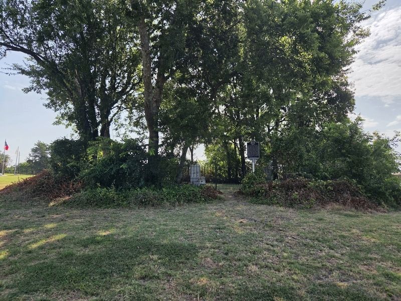
2. Chandler Cemetery and Marker
The view of the entrance to the small family cemetery with the marker on the right side of the pathway.
Photographed by James Hulse, July 12, 2026
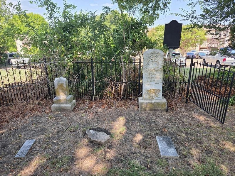
3. Chandler Cemetery and Marker
The view of the reverse side of the marker from inside the cemetery with the Martha (Wade) Chandler tombstone.
Photographed by James Hulse
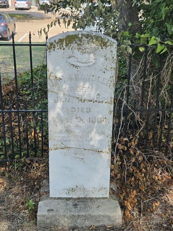
4. Henry Martin Chandler tombstone
Credits. This page was last revised on July 14, 2026. It was originally submitted on July 14, 2026, by James Hulse of Medina, Texas. This page has been viewed 11 times since then. Photos: 1, 2, 3, 4. submitted on July 14, 2026, by James Hulse of Medina, Texas.
