
Wieringerwerf in Hollands Kroon, North Holland, Netherlands — Northwestern Europe
Wieringermeerdijk
⎯⎯⎯
Wieringermeer Dike
Photographed by Andrew Ruppenstein, June 2, 2026
1. Wieringermeerdijk / Wieringermeer Dike Marker - historical text (1)

Direct na de bevrijding werd een start gemaakt met het herstel van de dijk door een ringdijk om de gaten heen te leggen. In december 1945 was de Wieringermeerpolder opnieuw droog. In april 1946 was de polder opnieuw ingezaaid en leverde nog in hetzelfde jaar een normale oogst op.
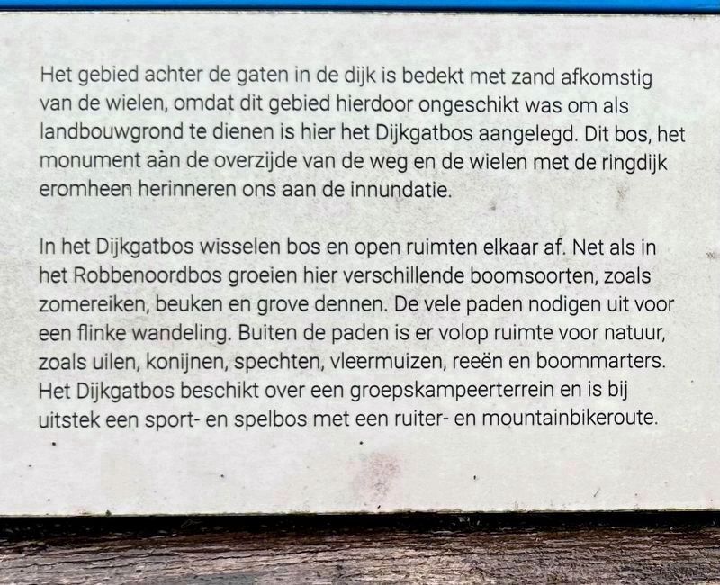
Het gebied achter de gaten in de dijk is bedekt met zand afkomstig van de wielen, omdat dit gebied hierdoor ongeschikt was om als landbouwgrond te dienen is hier het Dijkgatbos aangelegd. Dit bos, het monument aan de overzijde van de weg en de wielen met de ringdijk eromheen herinneren ons aan de innundatie.
In het Dijkgatbos wisselen bos en open ruimten elkaar af. Net als in het Robbenoordbos groeien hier verschillende boomsoorten, zoals zomereiken, beuken en grove dennen. De vele paden nodigen uit voor een flinke wandeling. Buiten de paden is er volop ruimte voor natuur, zoals uilen, konijnen, spechten, vleermuizen, reeën en boommarters. Het Dijkgatbos beschikt over een groepskampeerterrein en is bij uitstek een sport- en spelbos met een ruiter- en mountainbikeroute.
(wildlife info not transcribed)
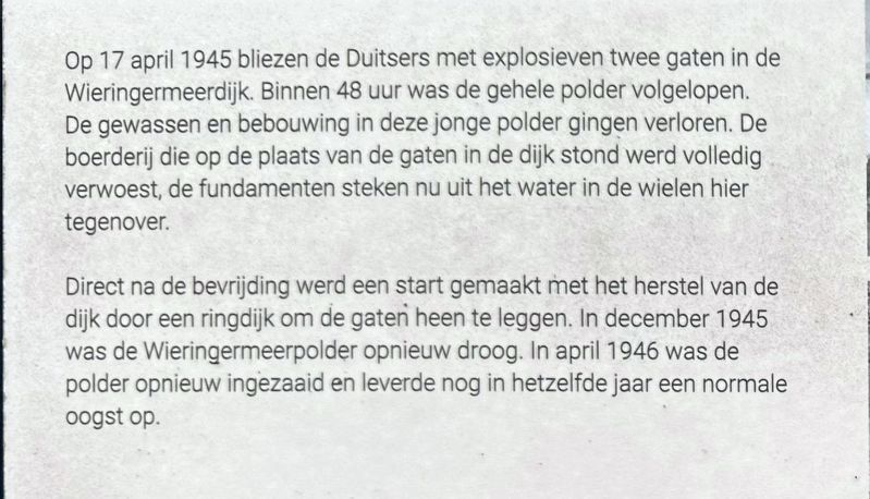
On April 17, 1945, the Germans used explosives to blow two breaches in the Wieringermeer dike. Within 48 hours, the entire polder had flooded. The crops and buildings in this newly reclaimed land were lost. The farmhouse that stood at the site of the breaches was completely destroyed; its foundations now protrude from the water in the scour holes opposite.
Immediately after the liberation, work began on repairing the dike by constructing a ring dike around the breaches. By December 1945, the Wieringermeer Polder had been drained once more. In April 1946, the polder was sown again, yielding a normal harvest that same year.
The area behind the dike breaches was covered with sand from the scour holes (wielen) because this made the land unsuitable for agriculture, the Dijkgatbos forest was planted there. This forest, the monument across the road, and the scour holes with their surrounding ring dikes serve as reminders of the inundation.
Dijkgatbos features an alternation of woodland and open spaces. Like the nearby Robbenoordbos, it is home to various tree species, such as English oaks, beeches, and Scots pines. The many paths invite visitors to take a long walk. Away from the paths, there is plenty of space for wildlife, including owls, rabbits, woodpeckers, bats, roe deer, and pine martens. Dijkgatbos includes a group campsite and is an ideal forest for sports and recreation, featuring trails for both horseback riding and mountain biking.
Topics.
this page online
Location. 52° 53.364′ N, 5° 4.18′ E. Marker is in Wieringerwerf, Noord-Holland (North Holland), in Hollands Kroon. It can be reached from Noorderdijkweg, on the right when traveling south. The marker is mounted to a picnic table by the parking lot for the Dijkgatbos recreational area. It is easy to see. Touch for map. Marker is at or near this postal address: Noorderdijkweg 1771, Wieringerwerf, Noord-Holland 1771 MJ, Netherlands. Touch for directions.

Regionally, it is in Europe, the European Union, Atlantic Europe, the Benelux Low Countries, the Schengen Area, Western Europe, and the Western World. Historically, it finds itself in what was once the Holy Roman Empire.
Other nearby markers. At least 8 other markers are within 14 kilometers of this marker, measured as the crow flies: Vliegtuigcrash Haviland Mosquito DZ316 Herdenking / Haviland Mosquito DZ316 Crash Memorial (approx. 5.7 kilometers away); Vliegtuigcrash Mosquito Mk. IV DZ386 Herdenking / Mosquito Mk. IV DZ386 Crash Memorial
Photographed by Andrew Ruppenstein, June 2, 2026
2. Wieringermeerdijk / Wieringermeer Dike Marker - historical text (2)
Also see . . . Wieringermeer (Wikipedia, in Dutch). Excerpt (in translation):
Towards the end of the Second World War, the Germans flooded the polder. Since the front line was more than 100 kilometers to the south at the time, the military motive for this action remains unclear. There is speculation that the flooding served as leverage to secure a safe retreat to Germany for German troops stationed in the Netherlands. This indeed occurred after the liberation—contrary to Allied practice in other liberated Western European countries, where German troops were taken prisoner of war. If this speculation is correct, any agreement to this effect was almost certainly never documented in writing(Submitted on July 15, 2026.)and thus cannot be proven.Photographed by Andrew Ruppenstein, June 2, 20263. Wieringermeerdijk / Wieringermeer Dike (entire marker)
Another common theory is that the German occupiers feared an Allied airborne landing in the Wieringermeer Polder aimed at capturing the southwestern approach to the Afsluitdijk.
On April 17, 1945, they blew up the dike in two places, causing the polder to flood within 48 hours. All crops and virtually all buildings were lost. After the war, the breaches were closed, and on December 11, 1945, the polder was drained once more. The municipal town hall had been swallowed by the water, so a temporary town hall was built in Lutjekolhorn. It was named Arke Noach (“Noah's Ark”) because it was virtually the only spot where people could stay dry.
Destroyed were 400 farms, 1,000 homes, 7 schools, 2 churches, and numerous warehouses and barns. Damaged (lightly or severely) were 150 homes, 100 farms, and 7 churches. Losses included 20,000 hectares of standing crops, as well as agricultural machinery and household goods.

Photographed by Andrew Ruppenstein, June 2, 2026
4. Wieringermeerdijk / Wieringermeer Dike Marker - wide view
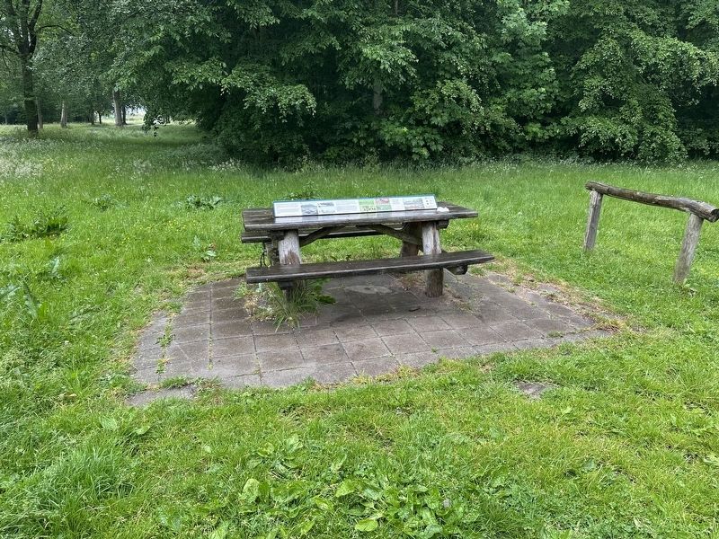
The marker is (permanently) affixed to the top of a picnic table at the edge of the parking lot.
1956/46
5. Marker photos
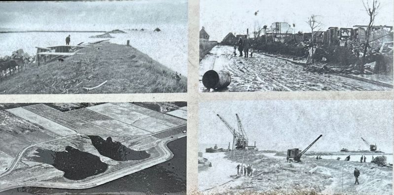
Showing the breached dike with incoming water (ul), devastated polder area (ur), rebuilding the dike (lr), dike breaches with a ring dike around them (ll).
Credits. This page was last revised on July 15, 2026. It was originally submitted on July 15, 2026, by Andrew Ruppenstein of Lamorinda, California. This page has been viewed 10 times since then. Photos: 1, 2, 3, 4, 5. submitted on July 15, 2026, by Andrew Ruppenstein of Lamorinda, California.
