Milton in Norfolk County, Massachusetts — The American Northeast (New England)
Bridge and Grist Mill
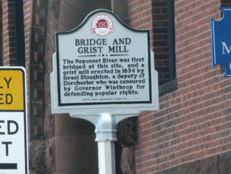
Photographed by Mira Earls, April 15, 2023
1. Bridge and Grist Mill Marker
The Neponset River was first bridged at this site, and a grist mill erected in 1634 by Israel Stoughton, a deputy of Dorchester who was censured by Governor Winthrop for defending popular rights.
Erected by Milton Region Anniversary Committee.
Topics. This historical marker is listed in these topic lists: Bridges & Viaducts • Colonial Era • Industry & Commerce. A significant historical year for this entry is 1634.
Location. 42° 16.254′ N, 71° 4.08′ W. Marker is in Milton, Massachusetts, in Norfolk County. It is on Adams Street just north of Eliot Street, on the right when traveling north. Touch for map. Marker is in this post office area: Milton MA 02186, United States of America. Touch for directions.

Regionally, this marker is in Greater Boston. It is also in the American Northeast, in New England, and on the Eastern Seaboard. Globally, it is in the North Atlantic Region, North America, the Western Hemisphere, the Western World, and the Anglosphere. Historically, it finds itself in what was once one of the original Thirteen Colonies.
Other nearby markers. At least 8 other markers are within 2
this page online
Credits. This page was last revised on July 22, 2026. It was originally submitted on July 16, 2026, by Mira Earls of Cortland, New York. This page has been viewed 19 times since then. Photo 1. submitted on July 16, 2026, by Mira Earls of Cortland, New York. • Michael Herrick was the editor who published this page.
