Upper South Providence in Providence County, Rhode Island — The American Northeast (New England)
The Fox Point Hurricane Barrier
⎯⎯⎯
From Oil to Gas
Photographed by Devry Becker Jones (CC0), July 10, 2024
1. The Fox Point Hurricane Barrier side of the marker
The Fox Point Hurricane Barrier
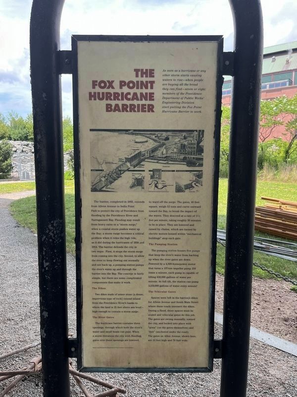
As soon as a hurricane or other storm starts causing waters to rise—when people are buying all the bread they can find—seven or eight members of the Providence Department of Public Works' Engineering Division start putting the Fox Point Hurricane Barrier to work.
The barrier, completed in 1966, extends from Allens Avenue to India Point Park to protect the city of Providence from flooding by the Providence River and Narragansett Bay. Flooding may result from heavy rains or a "storm surge," when a coastal storm pushes water up the Bay; a storm surge becomes a critical problem when it rides the high tide, as it did when the hurricanes of 1938 and 1954. The barrier defends the city in two ways: First, it stops the storm surge from coming into the city. Second, to allow the river to keep flowing out normally and not back up, a pumping station pumps the river's water up and through the barrier into the Bay. The concept is fairly simple, but there are some complicated components that make it work.
The Dikes
The dikes made of armor stone (a dense, impervious type of rock) extend inland
this page online
The River Gates
The hurricane barrier contains three openings, through which both of the river's water and small boats can pass. When a storm threatens the city with flooding, gates over these openings are lowered, to ward off the surge. The gates, 40 feet square, weigh 53 tons and curve outward toward the Bay, to break the impact of the waves. They descend at a rate of 1½ feet per minute, taking roughly 30 minutes to be in place. They are lowered and raised by chains, which are turned by electric motors housed within "mechanical buildings" atop each gate.
The Pumping Station
The pumping station houses five pumps that keep the river's water from backing up when the river gates are down. Powered by a 4,500-horsepower motor that turns a 137-ton impeller pump 150 times a minute, each pump is capable of lifting 630,000 gallons of water per minute. A full tilt, the station can pump 3,150,000 gallons of water every minute!
The Vehicular Gates
Spaces were left in the barrier's dikes for Allens Avenue and South Main
From Oil to Gas
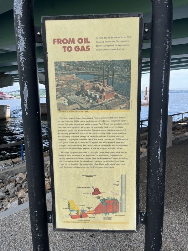
In 1996, the NEES subsidiaries New England Power and Narragansett Electric completed the repowering of Manchester Street Station.
The Manchester Street Repowering Project converted the old fuel-oil service from the 1960's into a modern, energy-efficient, combined-cycle system that uses natural gas as the primary fuel. Three new combined cycle units are each equipped with a gas turbine and a heat recovery steam generator, piped to a steam turbine. The new steam turbines, connected to existing generators, replaced the three existing 1940's steam turbines because they conserve energy by using the exhaust from the new gas turbines. The project combines use of the nearly century old, 52,000 square foot powerhouse with a new 56,000 square foot steel-framed, masonry-clad turbine building.
Photographed by Devry Becker Jones (CC0), July 10, 2024
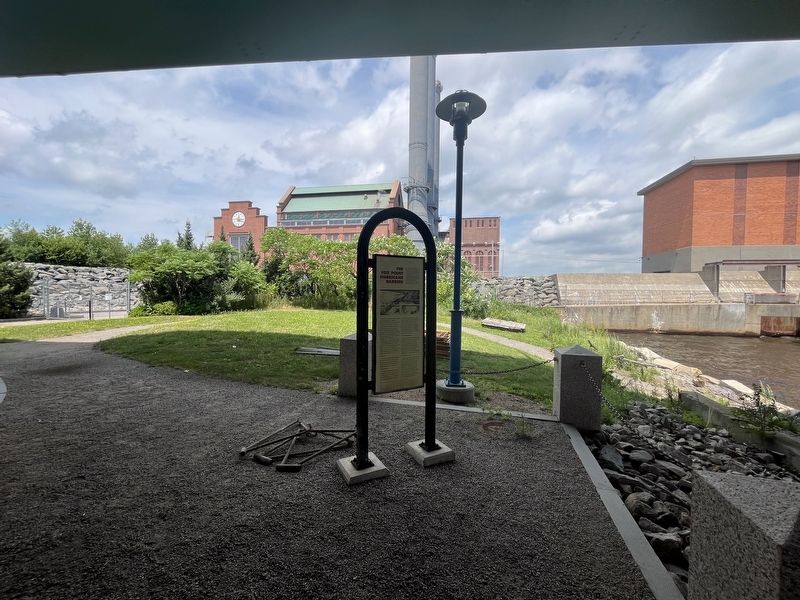
3. The Fox Point Hurricane Barrier / From Oil to Gas Marker
Although the plant generates six to eight times more power than before, there is a net decrease in air emissions. In addition to improved air quality, other benefits have resulted from the Repowering Project, including the transformation of the abandoned coal yard into Collier Point Park, Point Street Landing, the restoration of an historically significant plant, and the improved appearance of the Providence waterfront.
Topics. This historical marker is listed in these topic lists: Charity & Public Work • Disasters • Industry & Commerce • Waterways & Vessels. A significant historical year for this entry is 1966.
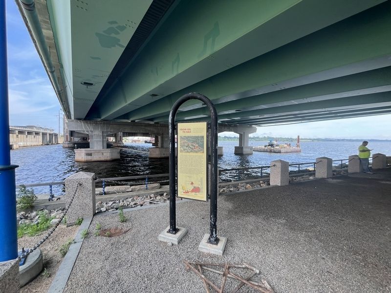
Location. 41° 48.892′ N, 71° 24.182′ W. Marker is in Providence, Rhode Island, in Providence County. It is in Upper South Providence. It is on Henderson Street 0.4 miles east of Allens Avenue (U.S. 1A), on the right when traveling north. The marker stands in the shadow of the I-195 Bridge. Touch for map. Marker is at or near this postal address: 50 Allens Ave, Providence RI 02903, United States
Photographed by Devry Becker Jones (CC0), July 10, 2024
4. The Fox Point Hurricane Barrier / From Oil to Gas Marker

Regionally, this marker is on Rhode Island’s Narragansett Bay. It is also in the American Northeast, in New England, and on the Eastern Seaboard. Globally, it is in the North Atlantic Region, North America, the Western Hemisphere, the Western World, and the Anglosphere. Historically, it finds itself in what was once one of the original Thirteen Colonies.
Other nearby markers. At least 8 other markers are within walking distance of this marker: Manchester Street Station / The Providence River (about 400 feet away, measured in a direct line); Manchester Street Station (about 600 feet away); Providence River Bridge (about 800 feet away); Providence River Park (approx. 0.2 miles away); Colonial Wharf at South Water Street: 1910-1942 / Fox Point and the Night Boat Era 1822-1932 (approx. 0.2 miles away); The Fox Point Hurricane Barrier / A Second Life for the Hurricane Barrier (approx. 0.2 miles away); Collier Point Park / South Street Station (approx. 0.2 miles away); 18 Bridge Street (approx. 0.2 miles away). Touch for a list and map of all markers in Providence.
Related marker. Click here for another marker that is related to this marker. The Fox Point Hurricane Barrier | A Second Life for the Hurricane Barrier
Credits. This page was last revised on July 17, 2026. It was originally submitted on July 16, 2024, by Devry Becker Jones of Washington, District of Columbia. This page has been viewed 185 times since then and 39 times this year. Last updated on July 17, 2026, by G.W.Bartlett of Hingham, Massachusetts. Photos: 1, 2, 3, 4. submitted on July 16, 2024, by Devry Becker Jones of Washington, District of Columbia.
