Fortescue in Downe Township in Cumberland County, New Jersey — The American Northeast (Mid-Atlantic)
Fortescue Chapel Historic Site
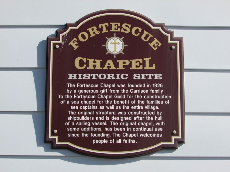
Photographed by Donald B. Caselli (Barry), January 7, 2014
1. Fortescue Chapel Historic Site Marker
The Fortescue Chapel was founded in 1926 by a generous gift by the Garrison Family to the Fortescue Chapel Guild for the construction of a sea chapel for the benefit of sea captains as well as the entire village. The original structure was constructed by shipbuilders and is designed after the hull of a sailing vessel. The original chapel, with some additions, has been in continual use since the founding. The Chapel welcomes people of all faiths.
Topics. This historical marker is listed in these topic lists: Architecture • Religion & Religious Structures • Waterways & Vessels. A significant historical year for this entry is 1926.
Location. 39° 14.332′ N, 75° 10.333′ W. Marker has been reported unreadable. Marker is in Downe Township, New Jersey, in Cumberland County. It is in Fortescue. It is on New Jersey Avenue just north of Downe Avenue, on the right when traveling north. Touch for map. Marker is at or near this postal address: 157 New Jersey Ave, Fortescue NJ 08321, United States of America. Touch for directions.

Regionally, this marker is in South Jersey. It is also in the American Northeast, in the Mid-Atlantic,
this page online
Other nearby markers. At least 8 other markers are within 9 miles of this location, measured as the crow flies: Bivalve Oyster Shipping Sheds (approx. 7½ miles away); The Schooner AJ Meerwald (approx. 7½ miles away); Delaware Bay and River (approx. 7½ miles away); Ecology in the Watershed (approx. 7½ miles away); Maurice River (approx. 7½ miles away); Steps to Harvest Oysters and Bring to Market (approx. 7½ miles away); a different marker also named Steps to Harvest Oysters and Bring to Market (approx. 7½ miles away); A Guiding Light (approx. 8.3 miles away).
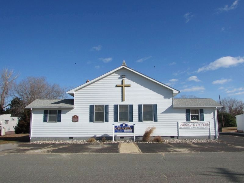
Photographed by Donald B. Caselli (Barry), January 7, 2014
2. Fortescue Chapel
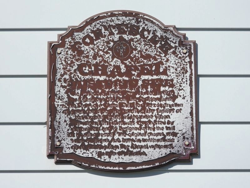
Photographed by Donald B. Caselli (Barry), June 7, 2024
3. Fortescue Chapel Historic Site Marker
Ureadable condition ten years later.
Credits. This page was last revised on July 23, 2026. It was originally submitted on July 17, 2026, by Donald B. Caselli (Barry) of Hopewell, Virginia. This page has been viewed 23 times since then. Photos: 1, 2, 3. submitted on July 17, 2026, by Donald B. Caselli (Barry) of Hopewell, Virginia. • Michael Herrick was the editor who published this page.
