Mulmur in Dufferin County, Ontario — Central Canada (North America)
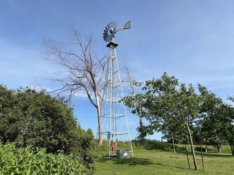
Windmill

Photographed by Tim Boyd, July 12, 2026
1. Window Marker
The windmill was introduced to Canadians in the 1865 publication, The Canadian Farmer. It reported that a new, self-adjusting windmill was exhibited at the New York State fall fair and was admirably adapted for pumping water, sawing wood, churning, and driving machinery. This was the origin for the windmills that became a common sight on Dufferin County farms.
This windmill originally stood on Elgin Myers' farm on the 8th Line of Amaranth Township. It was moved in 1920 by Fred Hammond when he purchased a farm on Lot 32, Con 4, Amaranth Township. Elmer and Grace Allen bought this farm in 1949, and with their family, donated the windmill to the Dufferin County Museum & Archives in 1994.
Donated by Elmer Thomas and Grace Margaret (Ahlgren) Allen, Robert and Joy (Allen) Briggs, Don Briggs, and Christina (Briggs) Conway.
Topics. This historical marker is listed in this topic list: Agriculture. A significant historical year for this entry is 1865.
Location. 44° 6.982′ N, 80° 1.544′ W. Marker is in Mulmur, Ontario, in Dufferin County. It can be reached from Airport Road. The marker is on the grounds of the Museum of Dufferin,
this page online

Regionally, this marker is in the York, Durham and Headwaters Area, and in Southwestern Ontario. It is also in Central Canada. Globally, it is in North America, the Western Hemisphere, the Western World, and the Anglosphere. Historically, it finds itself in what was once a British colony, the Viceroyalty of New France, the Haudenosaunee (Iroquois) Confederacy, and Rupert’s Land.
Other nearby markers. At least 8 other markers are within 13 kilometers of this marker, measured as the crow flies: The County of Dufferin (within shouting distance of this marker); The Hand Family of Stanton (about 150 meters away, measured in a direct line); Building Dufferin (about 150 meters away); The Corbetton Church (about 210 meters away); Historic Corbetton Church Building (about 210 meters away); Relessey (approx. 7.6 kilometers away); Relessey (Maguire’s Corners) (approx.
Photographed by Tim Boyd, July 12, 2026
2. Windmill Marker
The marker is affixed to the windmill, on the corner closest to the camera
Photographed by Tim Boyd, July 12, 2026
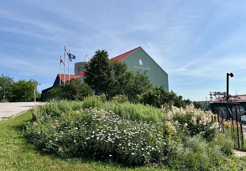
3. Museum of Dufferin, main building. The windmill is just visible on the left
Credits. This page was last revised on August 23, 2026. It was originally submitted on July 17, 2026, by Tim Boyd of Hamilton, Ontario. This page has been viewed 11 times since then. Photos: 1, 2, 3. submitted on July 17, 2026, by Tim Boyd of Hamilton, Ontario. • Andrew Ruppenstein was the editor who published this page.
