Grafton in Taylor County, West Virginia — The American South (Appalachia)
Webster
Anna Jarvis House
Photographed by Don Morfe, August 1, 2012
1. Webster Marker
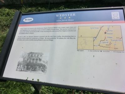
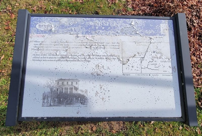
Webster Station was located on the Northwestern Virginia Railroad. Webster was a major supply depot and many warehouses were located here. It also served as a staging area for troops. This was the southernmost station on the railroad. During the Civil War, troops marching into south-central West Virginia embarked and disembarked railcars at Webster.
On June 2, 1861, Col. Ebenezer Dumont’s command rode the train from Grafton, disembarking here to continue on foot to attack the Confederates at Philippi. He commanded the 7th Indiana, the 14th Ohio, the 6th Indiana, and a section of artillery leaving Webster to move on Philippi.
Erected by West Virginia Civil War Trail.
Topics and series. This historical marker is listed in this topic list: War, US Civil. In addition, it is included in the West Virginia Civil War Trails series list. A significant historical month for this entry is June 1861.
Location. Marker has been permanently removed. It was located near 39° 17.616′ N, 80° 2.652′ W. Marker was in Grafton, West Virginia, in Taylor County. It was at the intersection of Shelby Run Road (U.S. 119/250) and Anna Jarvis Lane,
this page online
We have been informed that this marker is no longer there and will not be replaced. This page is an archival view of what was.
Regionally, this marker was in North Central West Virginia. It was also in the American South, specifically in the Upper South, in Appalachia, and specifically in Northern Appalachia. Globally, it was in North America, the Western Hemisphere, the Western World, and the Anglosphere. Historically, it found itself in what was once the territory of the Mississippian Culture.

Other nearby markers. At least 8 other markers are within 3 miles of this location, measured as the crow flies: Ann Reeves Jarvis (a few steps from this marker); Anna Jarvis' Birthplace (a few steps from this marker); Home Turned Headquarters (about 300 feet away, measured in a direct line); Tygart Dam (approx. 1½ miles away); The American Chestnut (approx. 1½ miles
Photographed by Bradley Owen, November 29, 2022
2. Webster Marker
Marker is significantly unreadable.
Photographed by Don Morfe, August 1, 2012
3. Webster And Anna Javis Markers
Credits. This page was last revised on July 18, 2026. It was originally submitted on August 23, 2012, by Don Morfe of Baltimore, Maryland. This page has been viewed 787 times since then and 46 times this year. Last updated on July 17, 2026, by Mark Parker of Hickory, North Carolina. Photos: 1. submitted on August 23, 2012, by Don Morfe of Baltimore, Maryland. 2. submitted on November 29, 2022, by Bradley Owen of Morgantown, West Virginia. 3. submitted on August 23, 2012, by Don Morfe of Baltimore, Maryland. • Devry Becker Jones was the editor who published this page.
