Mount Evelyn in Yarra Ranges Shire, Victoria, Australia — Oceania
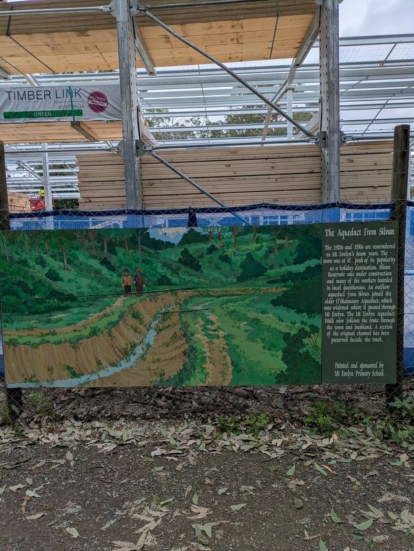
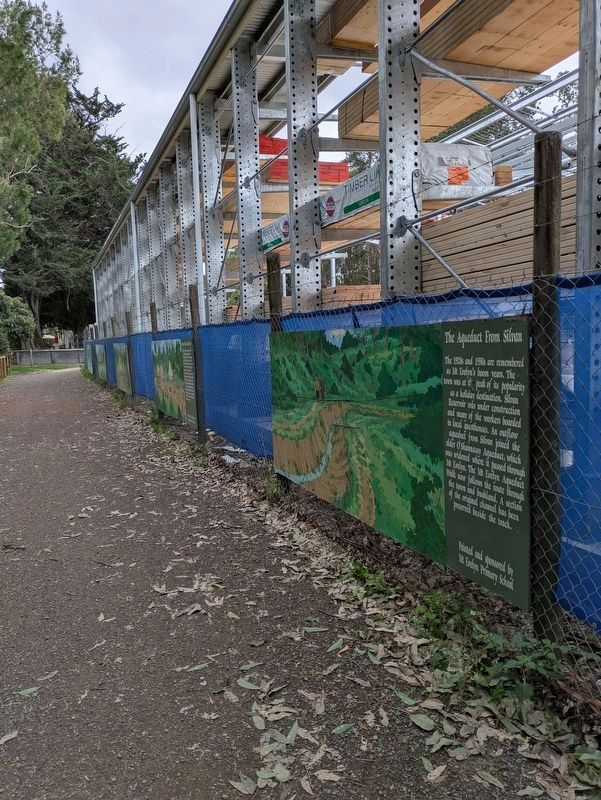
The Aqueduct from Silvan
| — | The Timeline Community Arts Project | — |
Photographed by Dean Barton-Ancliffe, June 18, 2026
1. The Aqueduct from Silvan Marker
Painted and sponsored by Mt. Evelyn Primary School
Erected by Mt Evelyn Township Improvement Committee.
Topics. This historical marker is listed in these topic lists: Arts, Letters, Music • Parks & Recreational Areas. A significant historical year for this entry is 1920.
Location. 37° 47.169′ S, 145° 22.785′ E. Marker is in Mount Evelyn, Victoria, in Yarra Ranges Shire. It can be reached from Wray Crescent 0.1 kilometers north of York Road (Victoria Route C402). Touch for map. Marker is at or near this postal address: 26 York Road, Mount Evelyn VIC 3796, Australia. Touch for directions.

Regionally, it is in Oceania,
this page online
Other nearby markers. At least 8 other markers are within walking distance of this marker: The Army Camp (here, next to this marker); Scouts 80 Years in Mt Evelyn (here, next to this marker); The Rail Trail (a few steps from this marker); How this Project came about (a few steps from this marker); Peace after War (a few steps from this marker); The First Train (a few steps from this marker); Swaggies in Tough Times (within shouting distance of this marker); The Berry Farm (within shouting distance of this marker). Touch for a list and map of all markers in Mount Evelyn.
Also see . . . Mt Evelyn Aqueduct. Wikipedia
Mt Evelyn Aqueduct was a former feature of the Melbourne water supply infrastructure that was built by the Melbourne and Metropolitan Board of Works The O'Shannassy Water Supply (designs prepared 1910-1911). Where the aqueduct crossed the lower lying areas around Wandin and approaching Mount Evelyn, it was in steel or(Submitted on July 17, 2026, by Dean Barton-Ancliffe of Rowville, Victoria.)wood-stave piping, converting to open concrete-lined channel when the higher levels were reached. It went through the township of Mount Evelyn in open channel (except for a short distance adjacent to the railway line) winding around the local contours to just above what is now Johns Crescent, then part of the 'Pine Mont Estate.'Photographed by Dean Barton-Ancliffe, June 18, 20262. The Aqueduct from Silvan Marker along the Rail Trail
From this point, the aqueduct was again transferred to steel pipes to go under the Olinda Creek and Swansea Road to feed the Olinda Reservoir, in the Edinburgh Road area. This reservoir, now roofed over, was open to the skies.
The pipes crossing the Olinda Creek valley cut across the Lilydale Water Race, so water was fed from the Aqueduct to the Race, the pipe creating the Race at the Cascades was cut away, and the section of the Race upstream fell into disuse. The part of the Race downstream to the small reservoir on Birmingham Road was lined with concrete.
Credits. This page was last revised on July 24, 2026. It was originally submitted on July 17, 2026, by Dean Barton-Ancliffe of Rowville, Victoria. This page has been viewed 17 times since then. Photos: 1, 2. submitted on July 17, 2026, by Dean Barton-Ancliffe of Rowville, Victoria. • Andrew Ruppenstein was the editor who published this page.
