Near Colonial Beach in Westmoreland County, Virginia — The American South (Mid-Atlantic)
Significance of a Birthplace
| — | George Washington Birthplace National Monument | — |
Photographed by J. J. Prats, July 13, 2026
1. Significance of a Birthplace Marker
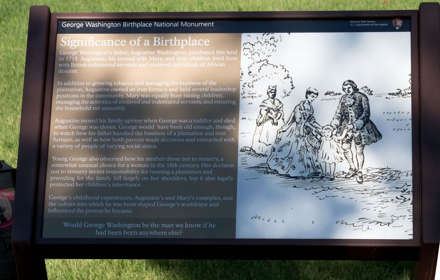
In addition to growing tobacco and managing the business of the plantation, Augustine owned an iron furnace and held several leadership positions in the community. Mary was equally busy raising children, managing the activities of enslaved and indentured servants, and ensuring the household ran smoothly.
Augustine moved his family upriver when George was a toddler and died when George was eleven. George would have been old enough, though, to watch how his father handled the business of a plantation and iron furnace, as well as how both parents made decisions and interacted with a variety of people of varying social status.
Young George also observed how his mother chose not to remarry, a somewhat unusual choice for a woman in the 18th century. Her decision not to remarry meant responsibility for running a plantation and providing for the family fell largely on her shoulders, but it
this page online
George's childhood experiences, Augustine’s and Mary’s examples, and the culture into which he was born shaped George’s worldview and influenced the person he became.
Would George Washington be the man we know if he had been born anywhere else?
Erected by National Park Service, U.S. Department of the Interior.
Topics. This historical marker is listed in this topic list: Colonial Era. A significant historical year for this entry is 1718.
Location. 38° 11.124′ N, 76° 54.98′ W. Marker is near Colonial Beach, Virginia, in Westmoreland County. It can be reached from Popes Creek Road (Virginia Route 204) 1.9 miles east of Kings Highway ( Route 3). Touch for map. Marker is at or near this postal address: 1730 Popes Creek Rd, Colonial Beach VA 22443, United States of America. Touch for directions.

Regionally, this marker is on Virginia’s Northern Neck. It is also in the American South, specifically in the Upper South, in the Tidewater, in the Chesapeake Bay Region, and on the Eastern Seaboard. Globally, it is in the North Atlantic Region, North America, the Western
Photographed by J. J. Prats, July 13, 2026
2. Significance of a Birthplace Marker
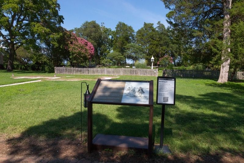
The small sign on the right it titled “Building X” and describes the white gravel outlines that can be seen in the distance. It reads, “This outline marks the archeological remains of a brick foundation representing a substantial 18th century home that belonged to the Washington family. To learn more, scan the QR code.” Click here to go to the QR code’s link.
Other nearby markers. At least 8 other markers are within walking distance of this marker: More than a Garden (within shouting distance of this marker); Dairy (within shouting distance of this marker); Constructing a Past (within shouting distance of this marker); Connected by Commerce (about 400 feet away); The Tidewater Gentry (about 400 feet away); Remembering Washington (approx. 0.2 miles away); The First People Here (approx. 0.2 miles away); Explore a trail network (approx. 0.2 miles away). Touch for a list and map of all markers in Colonial Beach.
Other markers no longer nearby. Archeology at Popes Creek (was a few steps from this marker but has been permanently removed); The Memorial Area (was a few steps from this marker but has been permanently removed); George Washington’s Birthplace (was within shouting distance of this marker but has been permanently removed); Popes Creek Plantation (was about 300 feet away, measured in a direct line but has been permanently removed); Artery of Commerce (was about 500 feet away but has been replaced with another marker now near it); The Historic Area (was approx. 0.2 miles away but has been permanently removed).
Credits. This page was last revised on July 18, 2026. It was originally submitted on July 18, 2026, by J. J. Prats of Powell, Ohio. This page has been viewed 11 times since then. Photos: 1, 2. submitted on July 18, 2026, by J. J. Prats of Powell, Ohio.
