Near Autaugaville in Autauga County, Alabama — The American South (East South Central)
Taylor Family Cemetery
Autauga County
Photographed by Blake Dickinson, July 14, 2026
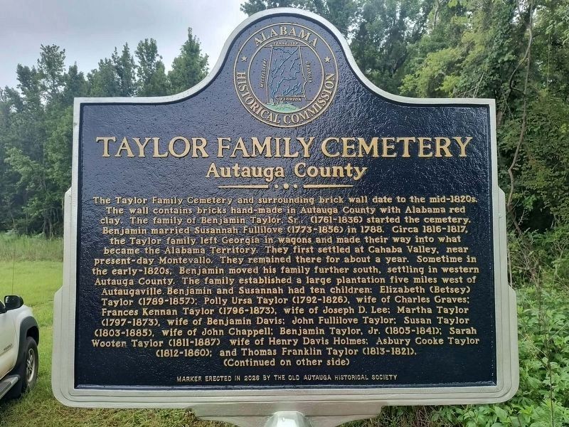
1. Taylor Family Cemetery Marker
The Taylor Family Cemetery and surrounding brick wall date to the mid-1820s. The wall contains bricks hand-made in Autauga County with Alabama red clay. The family of Benjamin Taylor, Sr., (1761-1836) started the cemetery. Benjamin married Susannah Fullilove (1773-1856) in 1788. Circa 1816-1817, the Taylor family left Georgia in wagons and made their way into what became the Alabama Territory. They first settled at Cahaba Valley, near present-day Montevallo. They remained there for about a year. Sometime in the early-1820s, Benjamin moved his family further south, settling in western Autauga County. The family established a large plantation five miles west of Autaugaville. Benjamin and Susannah had ten children: Elizabeth (Betsey) Taylor (1789-1857); Polly Ursa Taylor (1792-1826), wife of Charles Graves; Frances Kennan Taylor (1796-1873), wife of Joseph D. Lee; Martha Taylor (1797-1873), wife of Benjamin Davis; John Fullilove Taylor; Susan Taylor (1803-1885), wife of John Chappell; Benjamin Taylor, Jr. (1805-1841); Sarah Wooten Taylor (1811-1887), wife of Henry Davis Holmes; Asbury Cooke Taylor (1812-1860); and Thomas
this page online
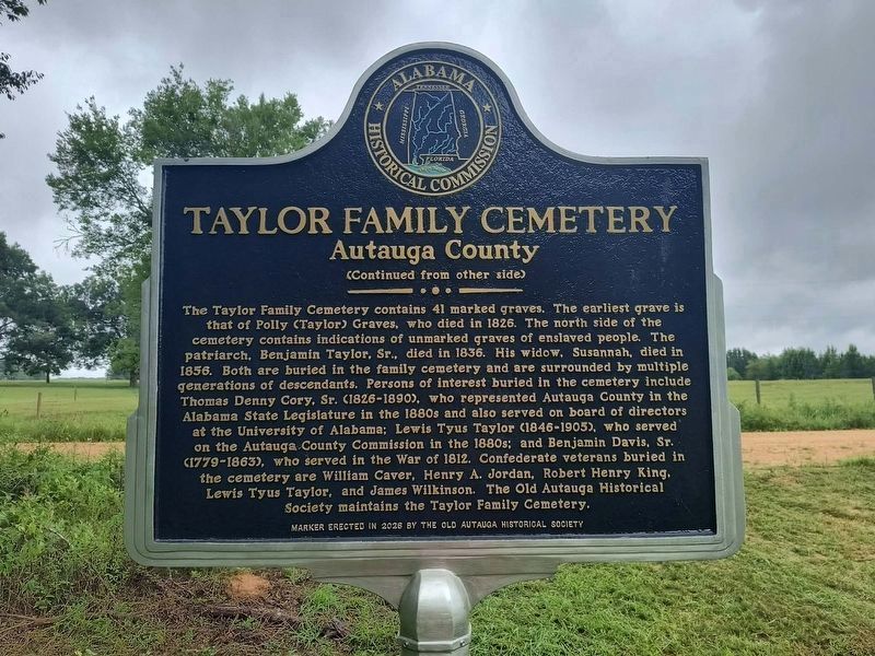
The Taylor Family Cemetery contains 41 marked graves. The earliest grave is that of Polly (Taylor) Graves, who died in 1826. The north side of the cemetery contains indications of unmarked graves of enslaved people. The patriarch, Benjamin Taylor, Sr., died in 1836. His widow, Susannah, died in 1856. Both are buried in the family cemetery and are surrounded by multiple generations of descendants. Persons of interest buried in the cemetery include Thomas Denny Cory, Sr. (1826-1890), who represented Autauga County in the Alabama State Legislature in the 1880s and also served on board of directors at the University of Alabama; Lewis Tyus Taylor (1846-1905), who served on the Autauga County Commission in the 1880s; and Benjamin Davis, Sr. (1779-1863), who served in the War of 1812. Confederate veterans buried in the cemetery are William Caver, Henry A. Jordan, Robert Henry King, Lewis Tyus Taylor, and James Wilkinson. The Old Autauga Historical Society maintains the Taylor Family Cemetery.
Erected 2026 by Old Autauga Historical Society and Alabama Historical Commission.
Topics. This historical
Photographed by Blake Dickinson, July 14, 2026
2. Taylor Family Cemetery Marker - Reverse Side
Location. 32° 26.155′ N, 86° 42.068′ W. Marker is near Autaugaville, Alabama, in Autauga County. It is on County Road 78 0.8 miles west of State Highway 14, on the left when traveling west. Touch for map. Marker is at or near this postal address: 3098 Co Rd 78, Autaugaville AL 36003, United States of America. Touch for directions.

Regionally, this marker is in Alabama’s Tri-Counties River Region. It is also in the American South, specifically in the Deep South, and in the Black Belt. Globally, it is in North America, a Gulf of Mexico state, the Western Hemisphere, the Western World, and the Anglosphere. Historically, it finds itself in what was once New Spain, the territory of the Mississippian Culture, one of the Confederate States of America, and the Antebellum South.
Other nearby markers. At least 8 other markers are within 8 miles of this marker, measured as the crow flies: Albert J. Pickett (1810-1858) (approx. 1.3 miles away); Autaugaville (approx. 2.8 miles away); Old Mulberry Schoolhouse (approx.
Photographed by Blake Dickinson, June 24, 2026
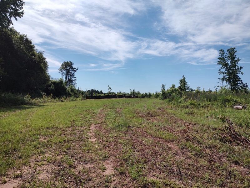
3. Taylor Family Cemetery
The cemetery was basically hidden by trees until the land was clear cut.
Another marker is no longer nearby. Albert J. Pickett (was approx. 1.3 miles away but has been permanently removed).
Photographed by Blake Dickinson, July 14, 2026
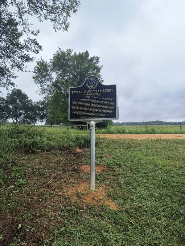
4. Taylor Family Cemetery Marker
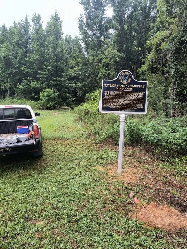
Photographed by Blake Dickinson, July 14, 2026
5. Taylor Family Cemetery Marker
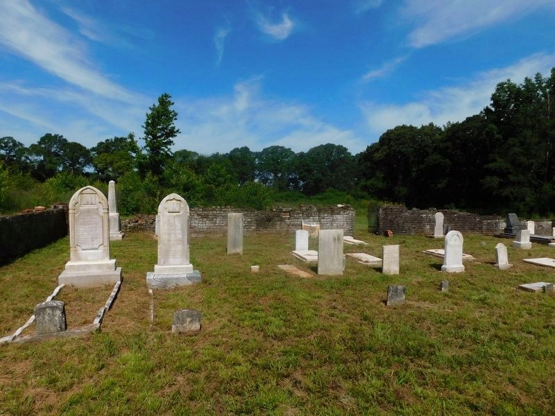
Photographed by Blake Dickinson, June 24, 2026
6. Taylor Family Cemetery
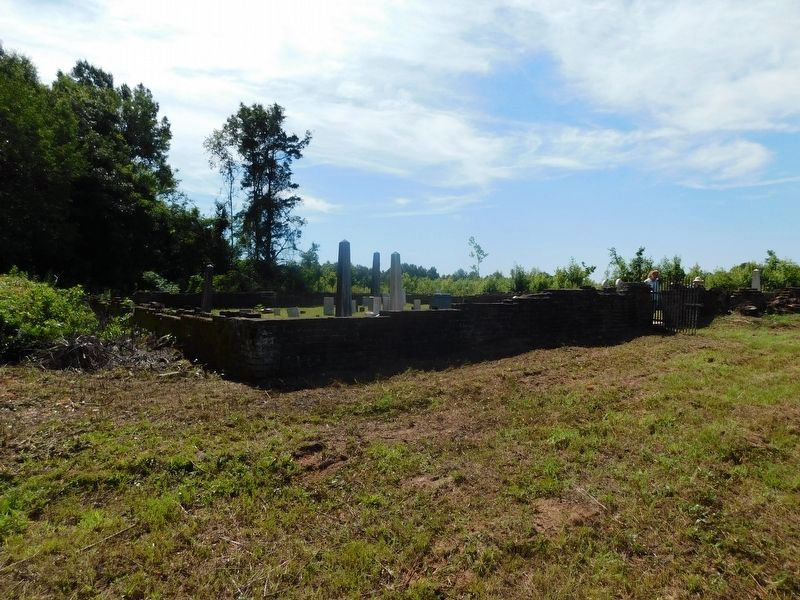
Photographed by Blake Dickinson, June 24, 2026
7. Taylor Family Cemetery
Credits. This page was last revised on July 22, 2026. It was originally submitted on June 27, 2026, by Jimmy Emerson of Dalton, Georgia. This page has been viewed 46 times since then. Last updated on July 18, 2026, by Jimmy Emerson of Dalton, Georgia. Photos: 1, 2. submitted on July 18, 2026, by Jimmy Emerson of Dalton, Georgia. 3. submitted on June 27, 2026, by Jimmy Emerson of Dalton, Georgia. 4, 5. submitted on July 18, 2026, by Jimmy Emerson of Dalton, Georgia. 6, 7. submitted on July 19, 2026, by Jimmy Emerson of Dalton, Georgia. • Devry Becker Jones was the editor who published this page.
