Catskill in Greene County, New York — The American Northeast (Mid-Atlantic)
Catskill Walking Tour
Beattie - Powers Place
Photographed by Steve Stoessel, July 19, 2026
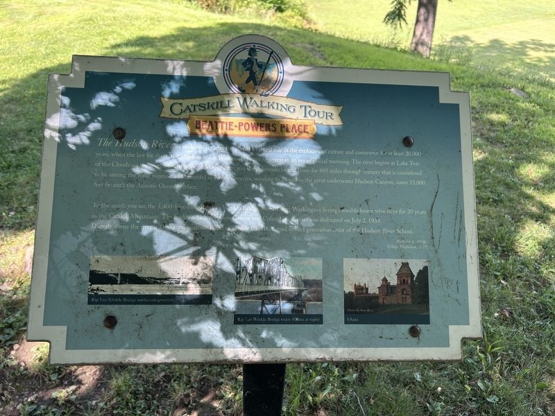
1. Catskill Walking Tour Marker
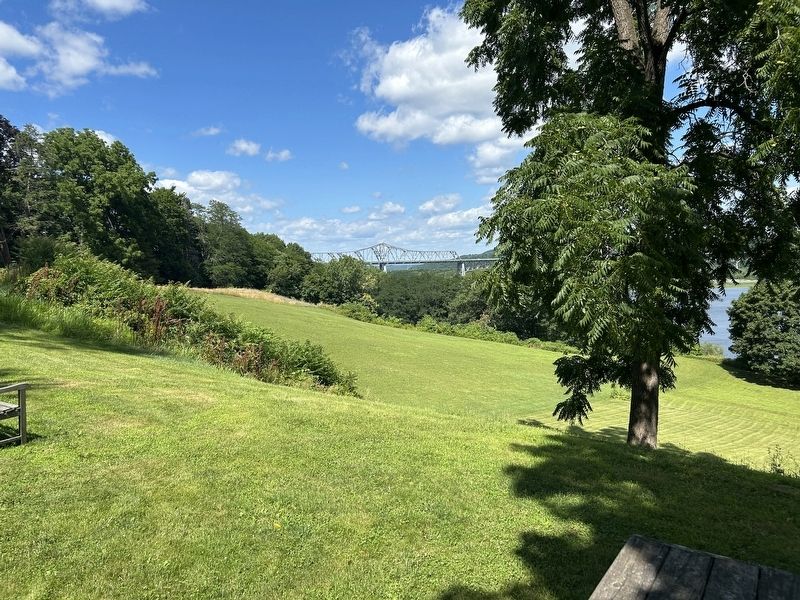
To the north you see the 5,400-foot-long Rip Van Winkle Bridge, named after Washington Irving’s lovable knave who slept for 20 years in the Catskill Mountains. The bridge which connects Greene and Columbia counties was dedicated on July 2, 1934.
Directly across the river is Olana, the majestic home of Frederic Church, famed second generation artist of the Hudson River School.
- Richard N. Philip, Village Historian, 2007
( Photo Captions: )
- Rip Van Winkle Bridge under construction
- Rip Van Winkle Bridge today (Olana at right)
- Olana
Topics. This historical
this page online
Location. 42° 13.108′ N, 73° 51.446′ W. Marker is in Catskill, New York, in Greene County. It can be reached from Powers Place. Touch for map. Marker is in this post office area: Catskill NY 12414, United States of America. Touch for directions.

Regionally, this marker is in Upstate New York and in the Hudson Valley. It is also in the American Northeast and in the Mid-Atlantic. Globally, it is in North America, the Western Hemisphere, the Western World, and the Anglosphere. Historically, it finds itself in what was once New Netherland and also one of the original Thirteen Colonies.
Other nearby markers. At least 8 other markers are within walking distance of this marker: Welcome to the Beattie-Powers Place (within shouting distance of this marker); a different marker also named Catskill Walking Tour (approx. 0.2 miles away); Greene County 250th American Anniversary Time Capsule (approx. 0.3 miles away); Sacred to the Memory (approx. 0.4 miles away); Silent Testament
Photographed by Steve Stoessel, July 19, 2026
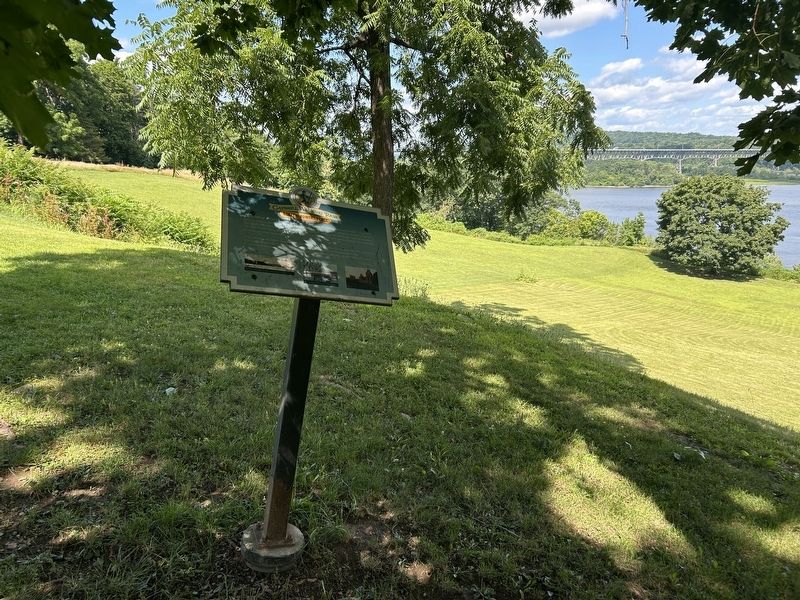
2. Catskill Walking Tour Marker
Another marker is no longer nearby. Catskill Walking Tour (was within shouting distance of this marker but has been confirmed missing).
Photographed by Steve Stoessel, July 19, 2026
3. Rip Van Winkle Bridge from the Marker
Credits. This page was last revised on July 19, 2026. It was originally submitted on July 19, 2026, by Steve Stoessel of Niskayuna, New York. This page has been viewed 7 times since then. Photos: 1, 2, 3. submitted on July 19, 2026, by Steve Stoessel of Niskayuna, New York.
