Logan in Hocking County, Ohio — The American Midwest (Great Lakes)
Logan High School Entablature
Photographed by Bradley Owen, July 18, 2026
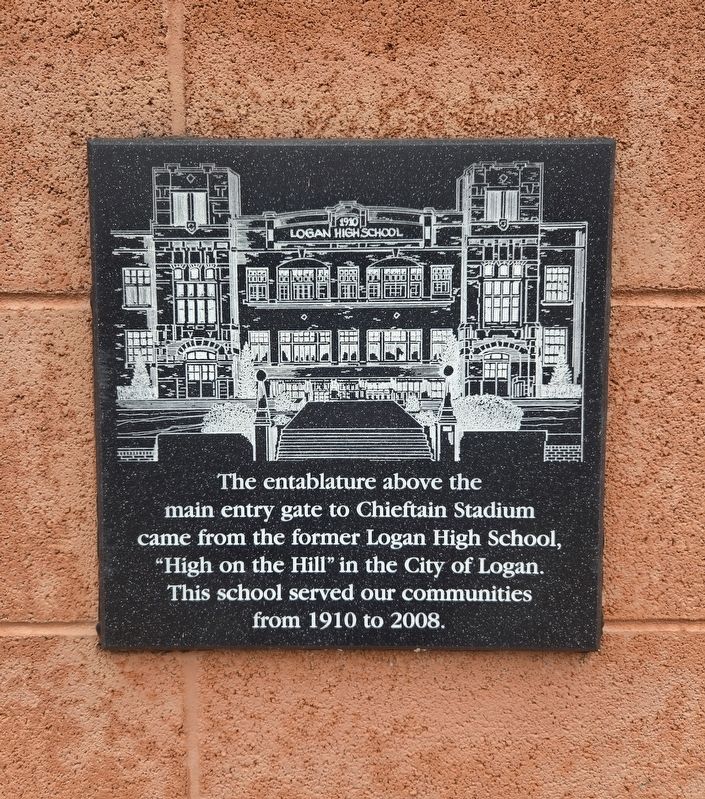
1. Logan High School Entablature Marker
The entablature above the main entry gate to Chieftain Stadium came from the former Logan High School, "High on the Hill" in the City of Logan. This school served our communities from 1910 to 2008.
Topics. This historical marker is listed in these topic lists: Education • Man-Made Features. A significant historical year for this entry is 1910.
Location. 39° 30.956′ N, 82° 22.464′ W. Marker is in Logan, Ohio, in Hocking County. It is on Ohio Route 328 0.6 miles south of U.S. 33, on the left when traveling south. Marker is located at the main entrance of Logan Chieftain Stadium. Touch for map. Marker is in this post office area: Logan OH 43138, United States of America. Touch for directions.

Regionally, this marker is in the Hocking Hills. It is also in the American Midwest, in the Corn Belt, in Appalachia, and specifically in Northern Appalachia. Globally, it is in North America, the Western Hemisphere, the Western World, and the Anglosphere. Historically, it finds itself in what was once the Haudenosaunee (Iroquois) Confederacy, the territory of the Mississippian Culture, and the Northwest Territory.
Other nearby markers. At
this page online
Photographed by Bradley Owen, July 18, 2026
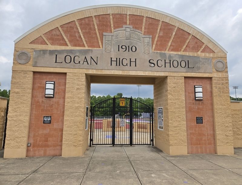
2. Logan High School Entablature and Marker
Marker is on the left.
Credits. This page was last revised on July 19, 2026. It was originally submitted on July 19, 2026, by Bradley Owen of Morgantown, West Virginia. This page has been viewed 8 times since then. Photos: 1, 2. submitted on July 19, 2026, by Bradley Owen of Morgantown, West Virginia.
