Wytheville in Wythe County, Virginia — The American South (Mid-Atlantic)
Battle of Wytheville
"Perdition turned loose"
| — | Virginia Civil War Trails | — |
Photographed by Mark Parker, July 11, 2026
1. Battle of Wytheville Marker
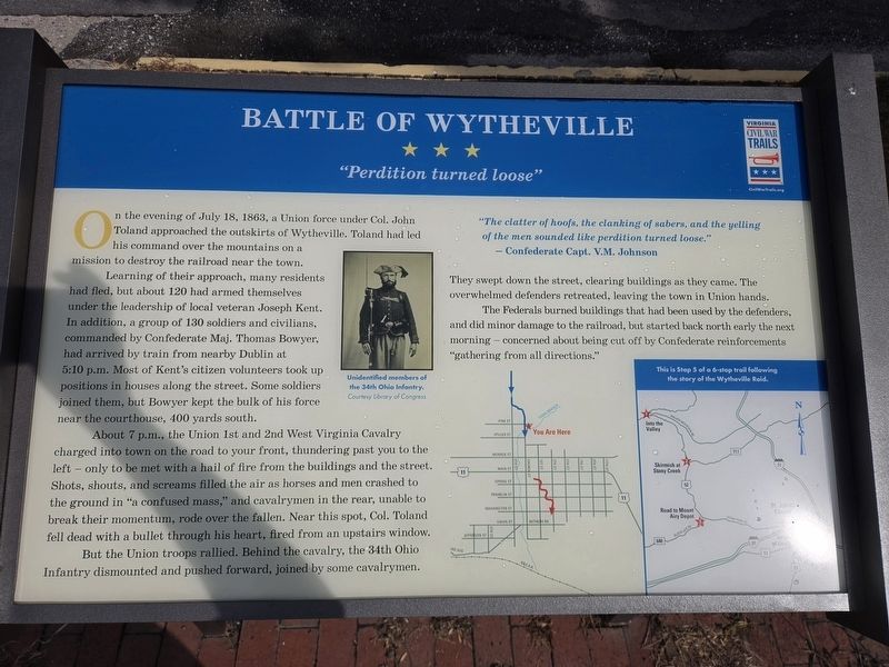
Learning of their approach, many residents had fled, but about 120 had armed themselves under the leadership of local veteran Joseph Kent. In addition, a group of 130 soldiers and civilians, commanded by Confederate Maj. Thomas Bowyer, had arrived by train from nearby Dublin at 5:10 p.m. Most of Kent's citizen volunteers took up positions in houses along the street. Some soldiers joined them, but Bowyer kept the bulk of his force near the courthouse, 400 yards south.
About 7 p.m., the Union 1st and 2nd West Virginia Cavalry charged into town on the road to your front, thundering past you to the left — only to be met with a hail of fire from the buildings and the street. Shots, shouts, and screams filled the air as horses and men crashed to the ground in "a confused mass," and cavalrymen in the rear, unable to break their momentum, rode over the fallen. Near this spot, Col. Toland fell dead with a bullet through
this page online
But the Union troops rallied. Behind the cavalry, the 34th Ohio Infantry dismounted and pushed forward, joined by some cavalrymen.
"The clatter of hoofs, the clanking of sabers, and the yelling of the men sounded like perdition turned loose."They swept down the street, clearing buildings as they came. The overwhelmed defenders retreated, leaving the town in Union hands.
- Confederate Capt. V.M. Johnson
The Federals burned buildings that had been used by the defenders, and did minor damage to the railroad, but started back north early the next morning - concerned about being cut off by Confederate reinforcements "gathering from all directions."
(Captions)
Unidentified members of the 34th Ohio Infantry. Courtesy Library of Congress
This is Stop 5 of a 6-stop trail following the story of the Wytheville Raid.
Erected by Virginia Civil War Trails.
Topics and series. This historical marker is listed in this topic list: War, US Civil. In addition, it is included in the Virginia Civil War Trails series list. A significant historical date for this entry is July 18, 1863.
Location. 36° 57.154′ N, 81° 5.192′ W.
Photographed by Mark Parker, July 11, 2026
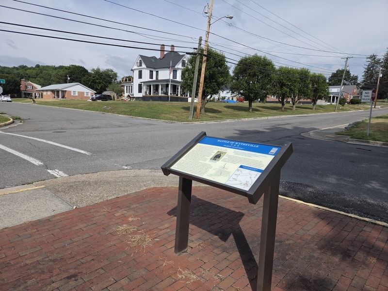
2. Battle of Wytheville Marker at Tazewell & E. Pine Streets

Regionally, this marker is in Southwest Virginia and in the Blue Ridge Highlands. It is also in the American South, specifically in the Upper South, in Appalachia, and specifically in Southern Appalachia. Globally, it is in North America, the Western Hemisphere, the Western World, and the Anglosphere. Historically, it finds itself in what was once the territory of the Mississippian Culture, one of the original Thirteen Colonies, one of the Confederate States of America, and the Antebellum South.
Other nearby markers. At least 8 other markers are within walking distance of this marker: Welcome to the Thomas J. Boyd Museum (about 700 feet away, measured in a direct line); The Haller-Gibboney Rock House (approx. 0.2 miles away); LOVE (approx. 0.2 miles away); The Lynching of Raymond Byrd (approx. 0.2 miles away);
Photographed by Mark Parker, July 11, 2026
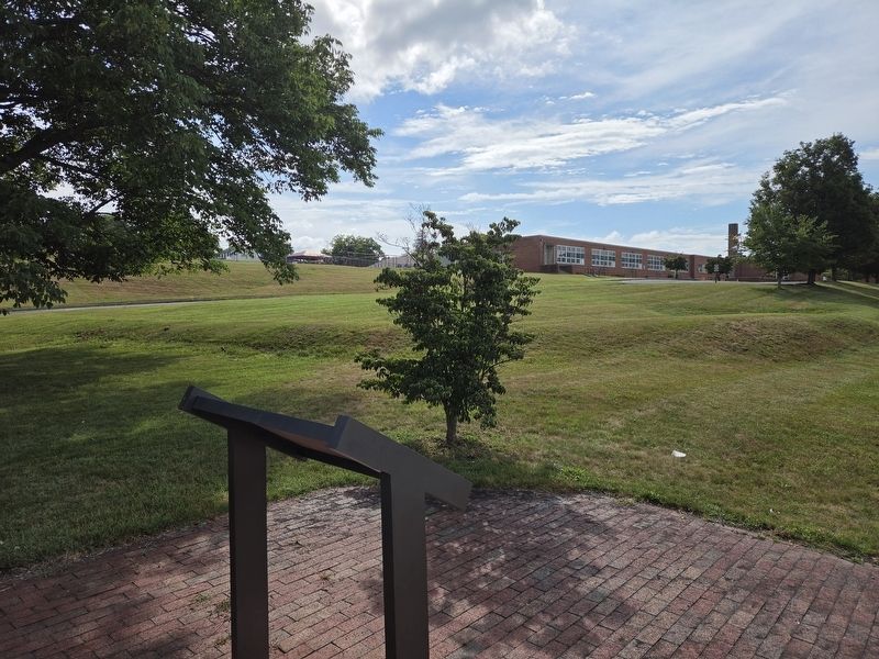
3. Battle of Wytheville Marker. Spiller Primary School in the background
Another marker is no longer nearby. Battle of Wytheville (has been replaced with this marker).
Credits. This page was last revised on July 21, 2026. It was originally submitted on July 21, 2026, by Mark Parker of Hickory, North Carolina. This page has been viewed 20 times since then. Photos: 1, 2, 3. submitted on July 21, 2026, by Mark Parker of Hickory, North Carolina. • Bernard Fisher was the editor who published this page.
