Near Quincy in Logan County, Ohio — The American Midwest (Great Lakes)
Curry Blockhouse
⎯⎯⎯
Shawnee Village “Oldtown”
Photographed by Rev. Ronald Irick, November 12, 2016
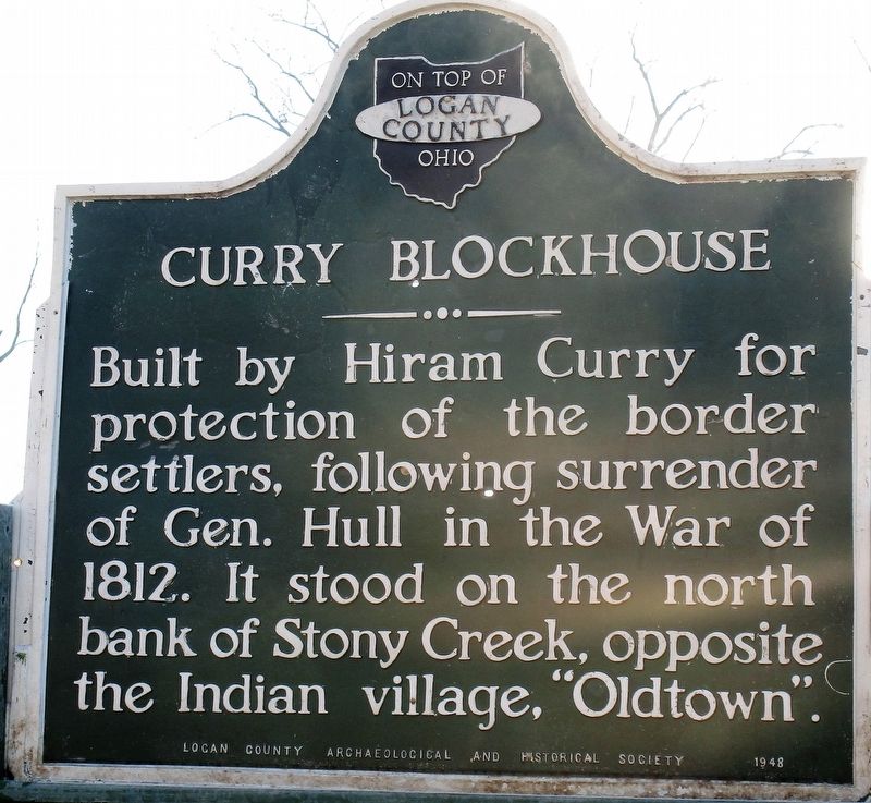
1. Curry Blockhouse Marker
Curry Blockhouse. Built by Hiriam Curry for protection of the border settlers, following surrender of Gen. Hull in War of 1812. It stood on the north bank of Stony Creek, opposite the Indian village “Oldtown”.
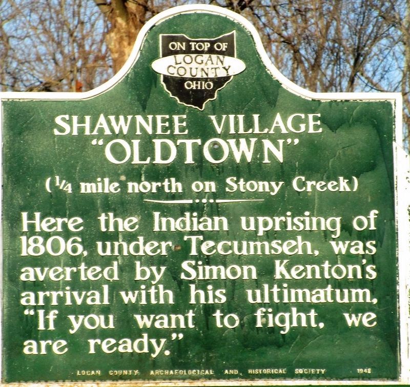
Shawnee Village “Oldtown”. (1/4 mile north on Stony Creek) Here the Indian uprising of 1806, under Tecumseh, was averted by Simon Kenton’s arrival with his ultimatum, “if you want to fight, we are ready.”
Erected 1948 by Logan County Archaeological and Historical Society.
Topics. This historical marker is listed in these topic lists: Forts and Castles • Indigenous Peoples and Communities • Settlements & Settlers • War of 1812. A significant historical year for this entry is 1812.
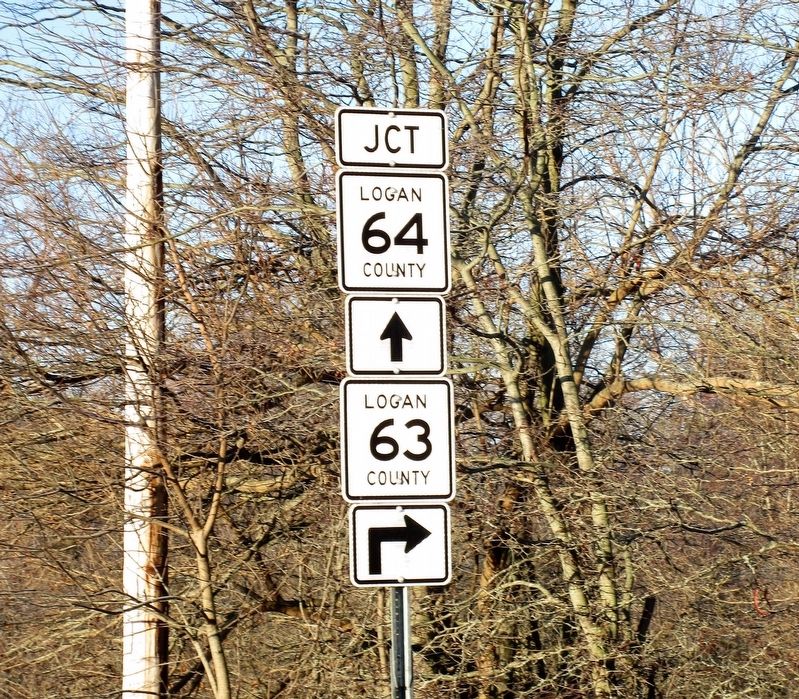
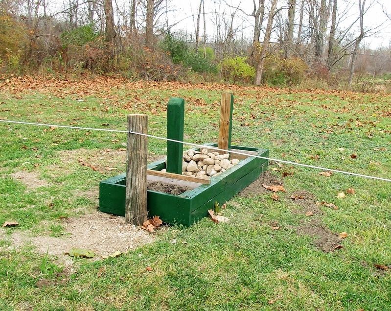
Location. Marker is missing. It was located near 40° 17.885′ N, 83° 55.447′ W. Marker was near Quincy, Ohio, in Logan County. It was at the intersection of DeGraff- Quincy Pike (County Route 63) and County Route 64, on the right when traveling west on DeGraff- Quincy Pike. Touch for map. Marker was at or near this postal address: 4201 C-63, Quincy OH 43343, United States of America. Touch for directions.

Regionally,
this page online
Other nearby markers. At least 8 other markers are within 6 miles of this location, measured as the crow flies: DeGraff, Ohio Veterans Memorial (approx. 1.6 miles away); Old Quincy School (approx. 2½ miles away); Quincy Ohio Veterans Memorial (approx. 2½ miles away); Veterans Memorial (approx. 2½ miles away); Vance Blockhouse (approx. 3.3 miles away); 1882 Whipple Through Truss Bridge (approx. 3.8 miles away); Pigeon Town / Shawnee Village Site (approx. 4½ miles away); Beehive Community Church (approx. 5.6 miles away). Touch for a list and map of all markers in Quincy.
Another marker is no longer nearby. Old Town Shawnee Village (was about 400 feet away, measured in a direct line but has been confirmed missing).
More about this marker.
Photographed by Rev. Ronald Irick, November 12, 2016
2. Shawnee Village ""Oldtown" Marker
about 300 feet northwest of the original location on Rd 64
Photographed by Rev. Ronald Irick, November 12, 2016
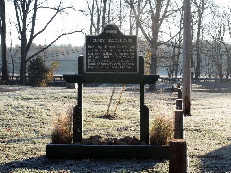
3. Curry Blockhouse Marker
Full view of recently re-mounted marker
Photographed by Rev. Ronald Irick, November 12, 2016
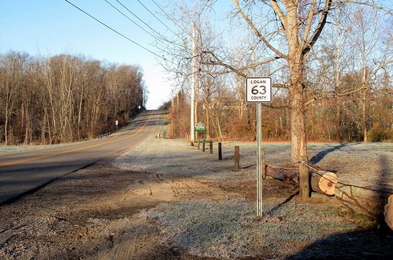
4. Curry Blockhouse Marker
Marker from a distance, as seen from the intersection of Rds 63 and 64 at Stony Creek
Photographed by Rev. Ronald Irick, November 12, 2016
5. Curry Blockhouse Marker
Photographed by Rev. Ronald Irick, November 11, 2016
6. Curry Blockhouse Marker
Before the marker was re-set
Credits. This page was last revised on July 21, 2026. It was originally submitted on November 12, 2016, by Rev. Ronald Irick of West Liberty, Ohio. This page has been viewed 1,320 times since then and 70 times this year. Last updated on July 21, 2026, by Craig Doda of Napoleon, Ohio. Photos: 1, 2, 3, 4, 5, 6. submitted on November 12, 2016, by Rev. Ronald Irick of West Liberty, Ohio. • Devry Becker Jones was the editor who published this page.
