Gillette in Campbell County, Wyoming — The American West (Mountains)
Area Stocktrails
Photographed by Cosmos Mariner, July 29, 2022
1. Area Stocktrails Marker
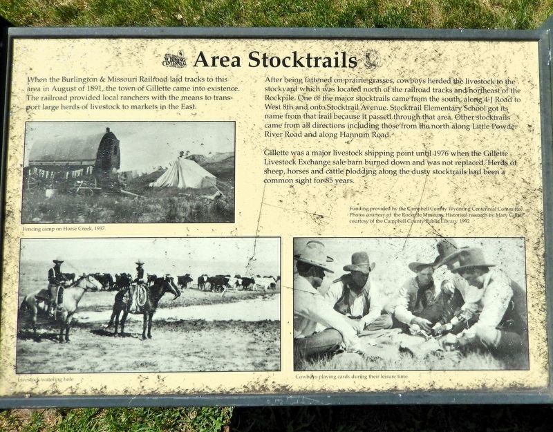
When the Burlington & Missouri Railroad laid tracks to this area in August of 1891, the town of Gillette came into existence. The railroad provided local ranchers with the means to transport large herds of livestock to markets in the East.
After being fattened on prairie grasses, cowboys herded the livestock to the stockyard which was located north of the railroad tracks and northeast of the Rockpile. One of the major stocktrails came from the south, along 4-J Road to West 8th and onto Stocktrail Avenue. Stocktrail Elementary School got its name from that trail because it passed through that area. Other stocktrails came from all directions including those from the north along Little Powder River Road and along Hannum Road.
Gillette was a major livestock shipping point until 1976 when the Gillette Livestock Exchange sale barn burned down and was not replaced. Herds of sheep, horses and cattle plodding along the dusty stocktrails had been a common sight for 85 years.
Historical research by Mary Gillis, courtesy of the Campbell County Public Library. 1992
Erected by Campbell County Centennial Committee.
Topics.
this page online
Location. 44° 17.219′ N, 105° 29.739′ W. Marker is in Gillette, Wyoming, in Campbell County. It can be reached from the intersection of South Douglas Highway (State Highway 59) and East 8th Street, on the right when traveling south. The marker is along the park walkway in Lasting Legacy Park. Touch for map. Marker is at or near this postal address: 800 South Douglas Highway, Gillette WY 82716, United States of America. Touch for directions.

Regionally, this marker is in the Powder River Basin. It is also in the American Mountain West, on the Great Plains, on the Northern Plains, and specifically on the High Plains. Globally, it is in North America, the Western Hemisphere, the Western World, and the Anglosphere. Historically, it finds itself in what was once the Louisiana Purchase.
Other nearby markers. At least 8 other markers are within walking distance of this marker: Commemorating the Brave Young Men & Women of Campbell County
Courtesy Rockpile Museum
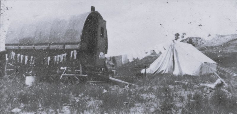
2. Marker detail: Fencing Camp on Horse Creek, 1937
Also see . . .
1. Gillette, Wyoming (Wikipedia).
Excerpt: Before its founding, Gillette started as Donkey Town, named after Donkey Creek. The settlement moved and was called Rocky Pile, after Rocky Draw. Gillette was founded in 1891 with the coming of the Chicago, Burlington & Quincy Railroad and incorporated on January 6, 1892, less than two years after Wyoming became a state. Chicago, Burlington & Quincy Railroad changed the name of the terminus to Gillette, after Edward Gillette, a surveyor for the company.(Submitted on July 22, 2026, by Cosmos Mariner of Cape Canaveral, Florida.)
2. Gillette History (Campbell County, Wyoming).
Courtesy Rockpile Museum
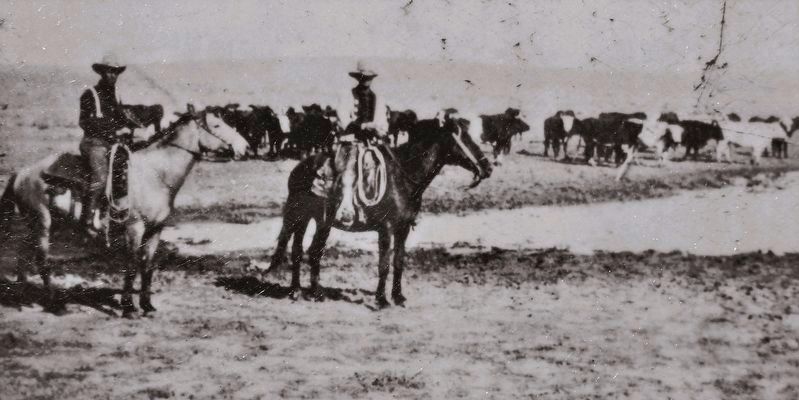
3. Marker detail: Livestock Watering Hole
Excerpt: The Burlington and Missouri [later became the Chicago, Burlington & Quincy Railroad] arrived in August 1891 and the wildest days for Gillette ensued. Gillette survived to serve the ranchers, cowboys, and homesteaders who were trying to make a life in the countryside surrounding the town. Cattlemen drove their herds into the livestock yards at Gillette for sale and transportation to the markets back east. Industrious citizens set up businesses to cater to these people and any who passed through on the rails. Livery barns, stables, and blacksmiths popped up to house travelers’ horses and haulers’ draft teams. Hotels were created to house anyone who needed a place. Bars and brothels catered to those who pursued that lifestyle. Cafes and eateries fed those who were hungry. It was not long before Gillette began to build up into a typical Western community.(Submitted on July 22, 2026, by Cosmos Mariner of Cape Canaveral, Florida.)
Courtesy Rockpile Museum
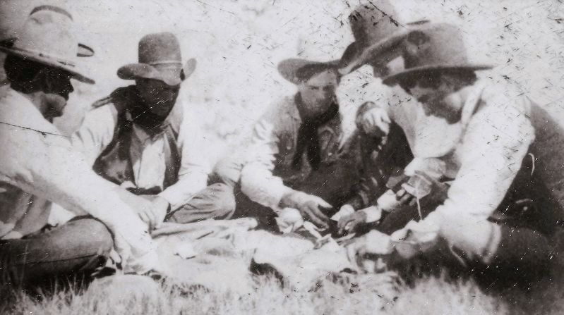
4. Marker detail: Cowboys playing cards during their leisure time
Photographed by Cosmos Mariner, July 29, 2022
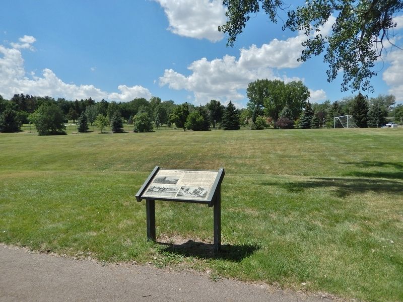
5. Area Stocktrails Marker
Looking west through the north side of Lasting Legacy Park.
Credits. This page was last revised on August 22, 2026. It was originally submitted on July 21, 2026, by Cosmos Mariner of Cape Canaveral, Florida. This page has been viewed 8 times since then. Photos: 1, 2, 3, 4, 5. submitted on July 22, 2026, by Cosmos Mariner of Cape Canaveral, Florida.
