Near Honey Grove in Fannin County, Texas — The American South (West South Central)
Shiloh Cemetery
Photographed by Duane and Tracy Marsteller, May 2, 2026
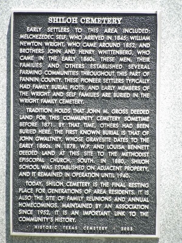
1. Shiloh Cemetery Marker
Tradition holds that John M. Gross deeded land for this community cemetery sometime before 1871. By that time, others had been buried here. The first known burial is that of John Gwaltney, whose gravesite dates to the early 1860s. In 1878, W.P. and Louisa Bennett deeded land at this site to the Methodist Episcopal Church, South. In 1880, Shiloh School was established on adjacent property, and it remained in operation until 1940.
Today, Shiloh cemetery is the final resting place for generations of area residents. It is also the site of family reunions and annual homecomings. Maintained by an association since 1952, it is an important link to the community's history.
Erected 2003
this page online
Topics. This historical marker is listed in these topic lists: Cemeteries & Burial Sites • Settlements & Settlers. A significant historical year for this entry is 1845.
Location. 33° 41.121′ N, 95° 56.539′ W. Marker is near Honey Grove, Texas, in Fannin County. It can be reached from County Road 2730 0.1 miles east of County Road 2740, on the left when traveling east. Touch for map. Marker is at or near this postal address: 2176 Co Rd 2730, Honey Grove TX 75446, United States of America. Touch for directions.

Regionally, this marker is in the Prairies & Lakes Region. It is also in the American South. Globally, it is in North America, a Gulf of Mexico state, the Western Hemisphere, the Western World, and the Anglosphere. Historically, it finds itself in what was once New Spain, the Republic of Texas, one of the Confederate States of America, and the Antebellum South.
Other nearby markers. At least 8 other markers are within 7 miles of this marker, measured as the crow flies: Jones' Mill Community (approx. 2.3 miles away); New Salem Cemetery (approx. 2.7 miles away);
Photographed by Duane and Tracy Marsteller, May 2, 2026
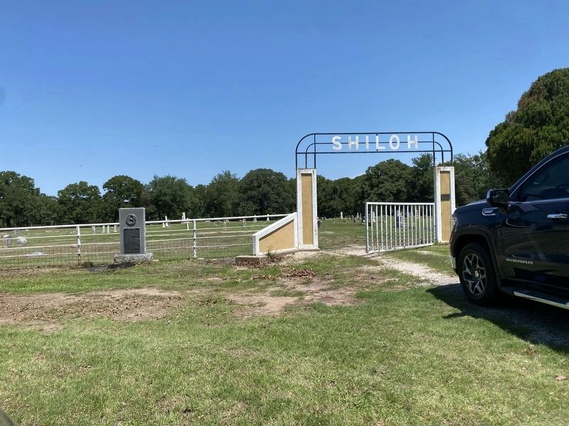
2. Shiloh Cemetery Marker
Also see . . . Shiloh Cemetery. Fannin County webpage includes tombstone photos, obituary and death certificate transcriptions, and other information about the cemetery. (Submitted on July 22, 2026, by Duane and Tracy Marsteller of Murfreesboro, Tennessee.)
Credits. This page was last revised on July 22, 2026. It was originally submitted on July 22, 2026, by Duane and Tracy Marsteller of Murfreesboro, Tennessee. This page has been viewed 16 times since then. Photos: 1, 2. submitted on July 22, 2026, by Duane and Tracy Marsteller of Murfreesboro, Tennessee.
