Edinburg in Hidalgo County, Texas — The American South (West South Central)
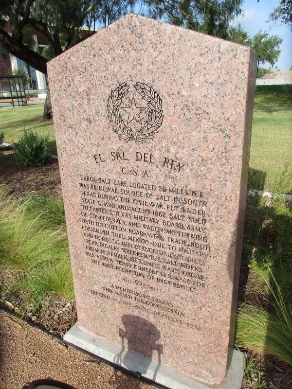
El Sal del Rey, C.S.A.
Photographed by Jeff Leichsenring, July 19, 2026
1. El Sal del Rey, C.S.A. Marker
Front side
Large salt lake located 26 miles northeast was principal source of salt in South Texas during the Civil War. Put under state guard and agent 1862. Salt sold to families, Texas Military Board, Army of Confederacy and wagons returning north on cotton road. Vital trade route for South thru Mexico. Due to military and domestic importance, Union forces periodically wrecked the salt works from November 1863 until war's end. It was also a Texas Confederate base for the 1864 recapture of Brownsville. A memorial to Texas who served the Confederacy.
Back side:
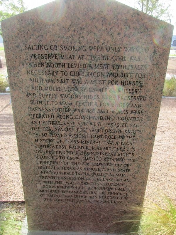
Salting or smoking were only ways to preserve meat at time of Civil War. When South levied a meat tithe, salt necessary to cure bacon and beef for military. Salt was a must for horses and mules used by cavalry, artillery and supply wagons. Hides were preserved with it to make leather for shoes and harness. Other wartime salt works were operated along coast and in 7 counties in central, east and west Texas. El Sal del Rey, Spanish for "Salt for the King" also played a significant role in the history of Texas mineral law. A legal controversy raged for years
this page online
Erected 1963 by The State of Texas. (Marker Number 1442.)
Topics. This historical marker is listed in this topic list: War, US Civil. A significant historical month for this entry is November 1863.
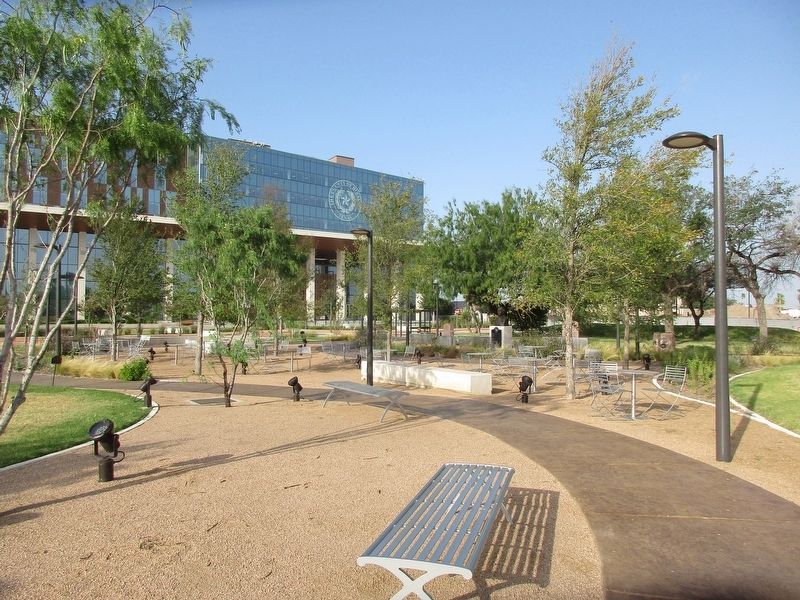
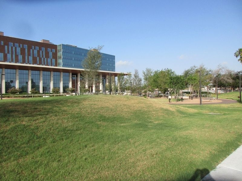
Location. 26° 18.124′ N, 98° 9.719′ W. Marker is in Edinburg, Texas, in Hidalgo County. It is at the intersection of North Closner Blvd and West McIntyre Street, on the left when traveling south on North Closner Blvd. Touch for map. Marker is at or near this postal address: 100 North Closner Blvd, Edinburg TX 78539, United States of America. Touch for directions.

Regionally, this marker is in South Texas. It is also in the American Borderlands and in the South. Globally, it is in North America, a Gulf of Mexico state, the Western
Photographed by Jeff Leichsenring, July 19, 2026
2. El Sal del Rey, C.S.A. Marker
Back side
Other nearby markers. At least 8 other markers are within 2 miles of this marker, measured as the crow flies: Hidalgo County (here, next to this marker); Padre Miguel Hidalgo y Costilla (a few steps from this marker); Old Hidalgo County Jail (within shouting distance of this marker); Everitt Building (about 400 feet away, measured in a direct line); Edinburg Junior College Auditorium (approx. 0.3 miles away); Southern Pacific Depot (approx. 0.4 miles away); Emilia Schunior Ramirez (approx. one mile away); Sgt. Alfredo "Freddy" Gonzalez Memorial (approx. 1.2 miles away). Touch for a list and map of all markers in Edinburg.
Photographed by Jeff Leichsenring, July 19, 2026
3. El Sal Del Rey, C. S. A. Marker
Photographed by Jeff Leichsenring, July 19, 2026
4. El Sal Del Rey, C. S. A. Marker
Credits. This page was last revised on July 23, 2026. It was originally submitted on July 22, 2026, by Jeff Leichsenring of Garland, Texas. This page has been viewed 16 times since then. Photos: 1, 2, 3, 4. submitted on July 22, 2026, by Jeff Leichsenring of Garland, Texas. • James Hulse was the editor who published this page.
