Sarah Ann in Logan County, West Virginia — The American South (Appalachia)
Hatfield Family Well
Circa 1890's
Photographed by Mark Parker, July 11, 2026
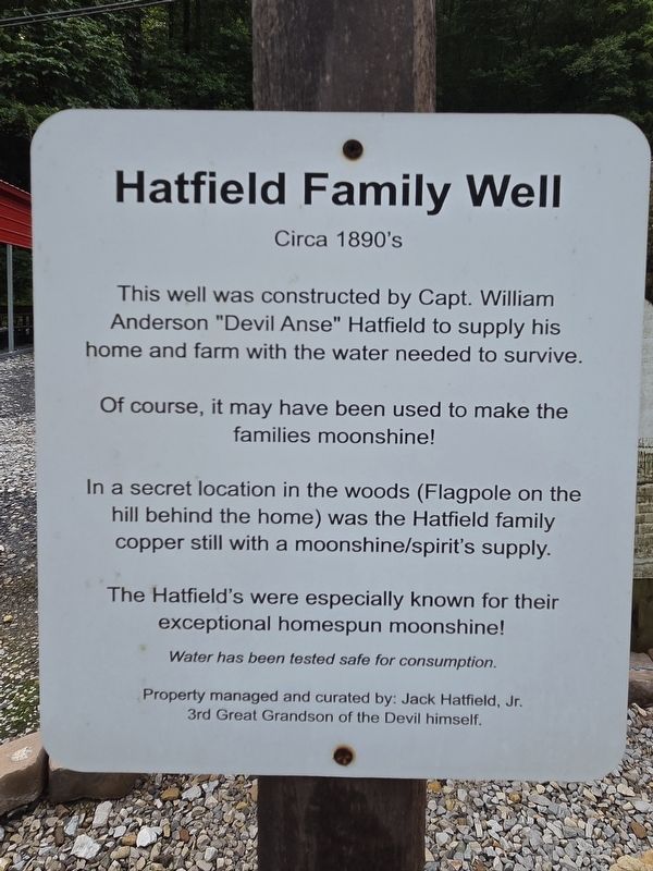
1. Hatfield Family Well Marker
This well was constructed by Capt. William Anderson "Devil Anse" Hatfield to supply his home and farm with the water needed to survive.
Of course, it may have been used to make the families moonshine!
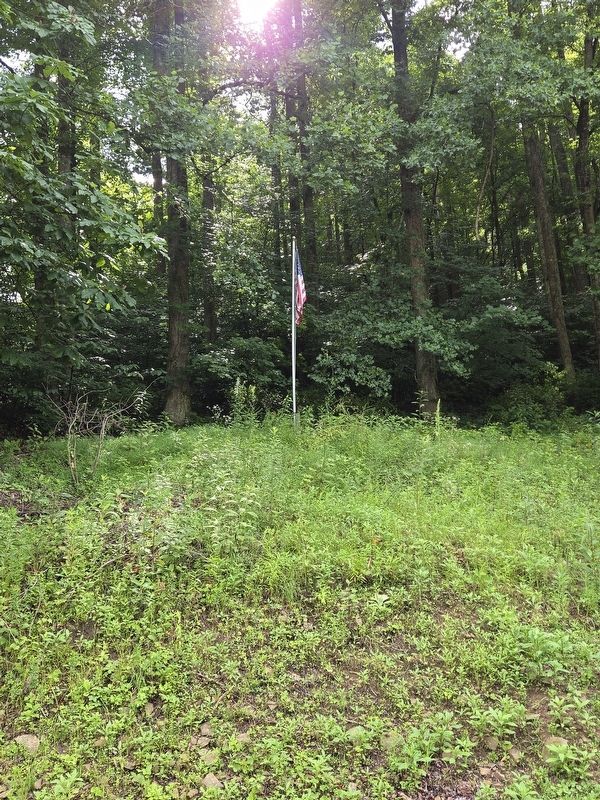
In a secret location in the woods (Flagpole on the hill behind the home) was the Hatfield family copper still with a moonshine/spirit's supply.
The Hatfield's were especially known for their exceptional homespun moonshine!
Water has been tested safe for consumption.
Property managed and curated by: Jack Hatfield, Jr. 3rd Great Grandson of the Devil himself.
Topics. This historical marker is listed in these topic lists: Agriculture • Industry & Commerce • Natural Resources.
Location. 37° 42.035′ N, 81° 59.607′ W. Marker is in Sarah Ann, West Virginia, in Logan County. It is on Jerry West Highway (West Virginia Route 44) 0.6 miles south of Phillips Street, on the right when traveling south. The marker stands near the house at the Devil Anse Hatfield Homeplace museum. Touch for map. Marker is at or near this postal address: 12790 Jerry West Hwy, Sarah
this page online

Regionally, this marker is in the Southern Coalfields. It is also in the American South, specifically in the Upper South, in Appalachia, and specifically in Southern Appalachia. Globally, it is in North America, the Western Hemisphere, the Western World, and the Anglosphere. Historically, it finds itself in what was once the territory of the Mississippian Culture.
Other nearby markers. At least 8 other markers are within walking distance of this marker: Devil Anse Hatfield's Homeplace (here, next to this marker); Devil Anse Hatfield's Homeplace Bridge (a few steps from this marker); Hatfield Gas Lantern (a few steps from this marker); The Man: "Devil Anse" Hatfield (about 700 feet away, measured in a direct line); The Feud (about 700 feet away); The Land (approx. 0.2 miles away); The Family (approx. ¼ mile away); The Resting Place (approx. ¼ mile away). Touch for a list and map of all markers in Sarah Ann.
Photographed by Mark Parker, July 11, 2026
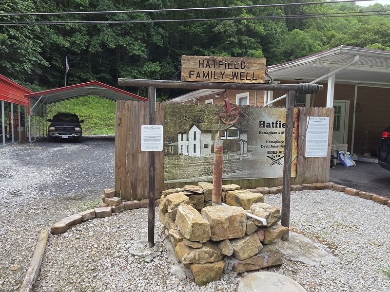
2. Hatfield Family Well and Marker
Photographed by Mark Parker, July 11, 2026
3. Flagpole above the museum that is the purported spot of the Hatfield Family Well
Photographed by Mark Parker, July 11, 2026
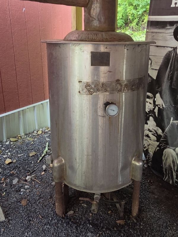
4. Moonshine still
Credits. This page was last revised on July 23, 2026. It was originally submitted on July 22, 2026, by Mark Parker of Hickory, North Carolina. This page has been viewed 7 times since then. Photos: 1, 2, 3, 4. submitted on July 22, 2026, by Mark Parker of Hickory, North Carolina. • Devry Becker Jones was the editor who published this page.
