Goderich in Huron County, Ontario — Central Canada (North America)
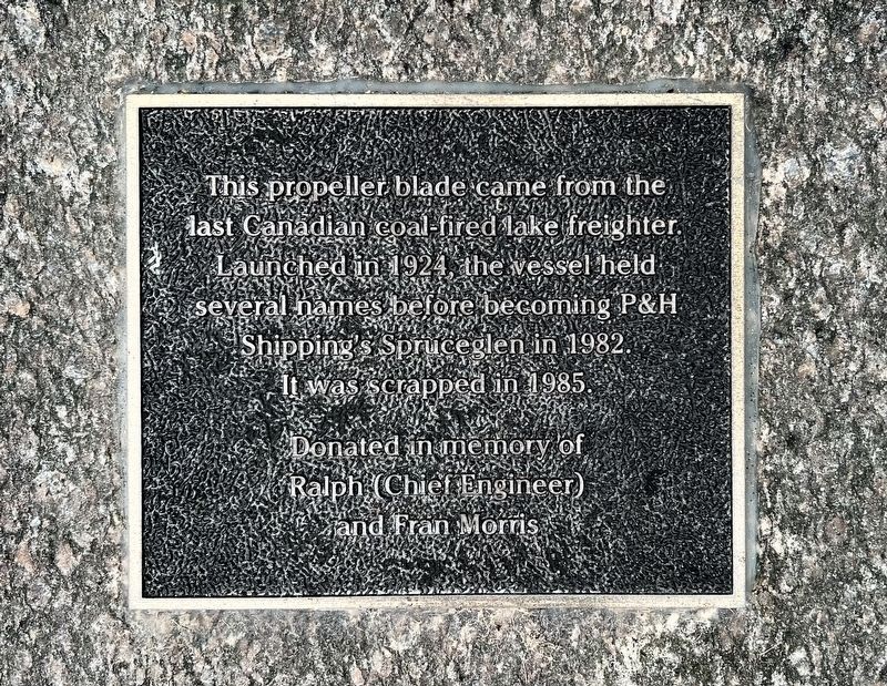
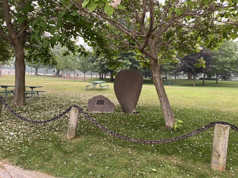
The Last Canadian Coal Fired Lake Freighter
Photographed by Tim Boyd, July 15, 2026
1. The Last Canadian Coal Fired Lake Freighter Marker
Donated in memory of Ralph (Chief Engineer) and Fran Morris
Topics. This historical marker is listed in this topic list: Waterways & Vessels. A significant historical year for this entry is 1924.
Location. 43° 44.674′ N, 81° 43.47′ W. Marker is in Goderich, Ontario, in Huron County. It is on Harbour Street 0.1 kilometers east of Beach Street, on the left when traveling west. Touch for map. Marker is at or near this postal address: 1 Cove Road, Goderich ON N7A 2K9, Canada. Touch for directions.

Regionally, this marker is in the Huron-Perth-Waterloo-Wellington Area and in Southwestern Ontario. It is also in Central Canada. Globally, it is in North America, on the Great Lakes, in the Western Hemisphere, in the Western World, and in the Anglosphere. Historically, it finds itself in what was once a British colony, the Viceroyalty of New France, the Haudenosaunee (Iroquois) Confederacy, and Rupert’s Land.
this page online
Other nearby markers. At least 8 other markers are within walking distance of this marker: The Waterworks (within shouting distance of this marker); Imperial Oil Storage Tanks (within shouting distance of this marker); The Goderich Elevators (within shouting distance of this marker); The Lower Town Community (within shouting distance of this marker); The Crab and Lee Families (within shouting distance of this marker); Menesetung Mineral Springs (about 120 meters away, measured in a direct line); The CPR Freight Shed (about 120 meters away); The Ocean House Hotel (about 120 meters away). Touch for a list and map of all markers in Goderich.
Photographed by Tim Boyd, July 15, 2026
2. The Last Canadian Coal Fired Lake Freighter Marker
Credits. This page was last revised on July 23, 2026. It was originally submitted on July 23, 2026, by Tim Boyd of Hamilton, Ontario. This page has been viewed 14 times since then. Photos: 1, 2. submitted on July 23, 2026, by Tim Boyd of Hamilton, Ontario. • Andrew Ruppenstein was the editor who published this page.
