Warren in Warren County, Pennsylvania — The American Northeast (Mid-Atlantic)
Under Three Flags
Photographed by Steve Stoessel, May 4, 2019
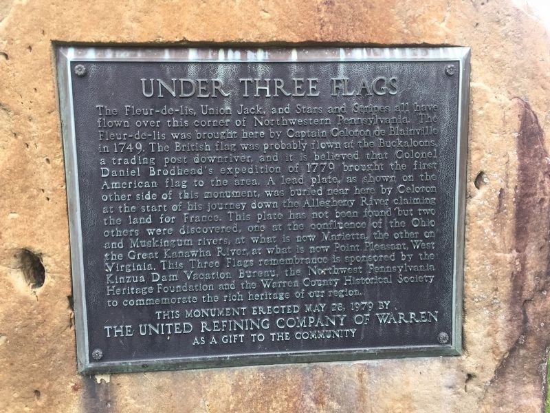
1. Under Three Flags Marker
The Fleur-de-lis, Union Jack, and Stars and Stripes all have flown over this corner of Northwestern Pennsylvania. The Fleur-de-lis was brought here by Captain Celoron de Blainville in 1749. The British flag was probably flown at the Buckaloons a trading post downriver, and it is believed that Colonel Daniel Brodhead's expedition of 1779 brought the first American flag to the area. A lead plate, as shown on the other side of this monument, was buried near here by Celoron at the start of his journey down the Allegheny River claiming the land for France. This plate has not been found but two others were discovered, one at the confluence of the Ohio and Muskingum Rivers, at what is now Marietta, the other on the Great Kanawha River, at what is now Point. Pleasant, West Virginia. This Three Flags remembrance is sponsored by the Kinzua Dam Vacation Bureau, the Northwest Pennsylvania Heritage Foundation and the Warren County Historical Society to commemorate the rich heritage of our region
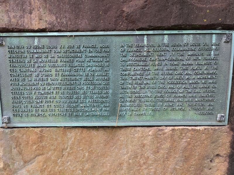
In the year 1749, and the region of Louis XV, King of France, We Celoron, commending officer of the detachment sent by the Marquis de
this page online
-Celoron
Erected 1979 by United Refining Company of Warren.
Topics. This historical marker is listed in these topic lists: Colonial Era • Exploration. A significant historical year for this entry is 1749.
Location. 41° 50.61′ N, 79° 9.043′ W. Marker is in Warren, Pennsylvania, in Warren County. It is on Crescent Park west of Hickory Bridge, on the right when traveling west. Touch for map. Marker is in this post office area: Warren PA 16365, United States of America. Touch for directions.

Regionally, this marker is in Northwestern Pennsylvania and specifically
Photographed by Mark Parker, July 16, 2026
2. Celoron plate (rear side)
Other nearby markers. At least 8 other markers are within walking distance of this marker: Heritage Point (a few steps from this marker); General William Irvine (within shouting distance of this marker); In Honor (within shouting distance of this marker); Pioneers Who Settled in Warren Prior to 1820 (about 500 feet away, measured in a direct line); Warren Suspension Bridge (about 500 feet away); Celoron's Expedition (about 500 feet away); JAZz Amphitheatre (about 600 feet away); Soldiers' and Sailors' Monument (about 600 feet away). Touch for a list and map of all markers in Warren.
Photographed by Steve Stoessel, May 4, 2019
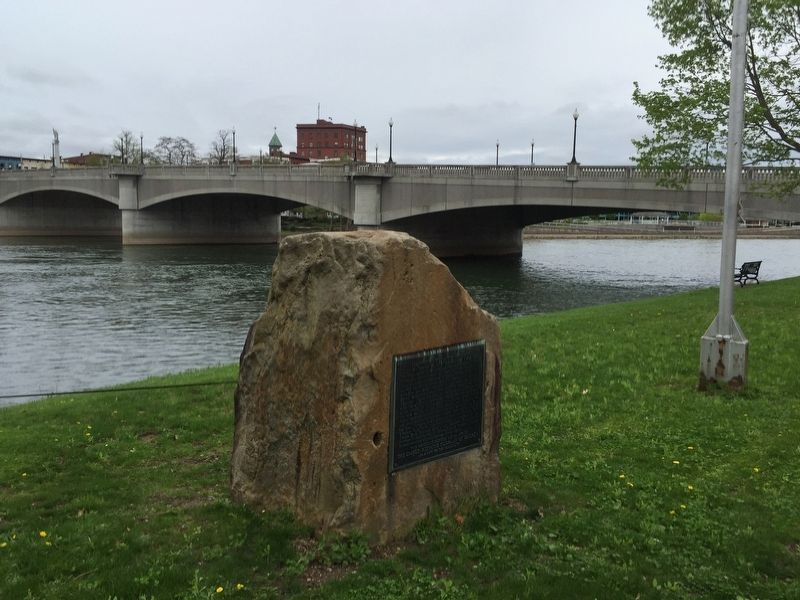
3. Under Three Flags Marker
Photographed by Mark Parker, July 16, 2026
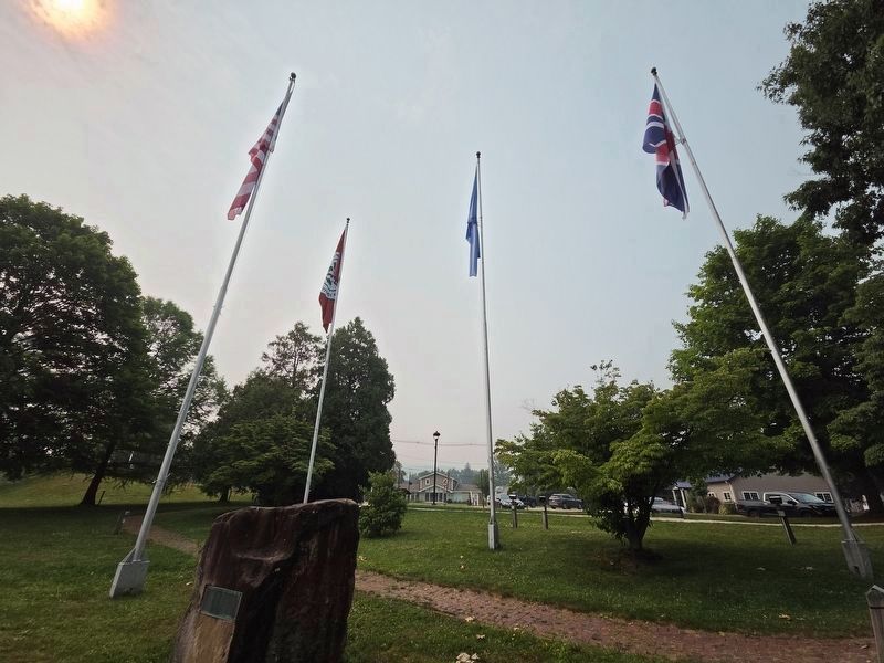
4. Reverse side near the Four Flags
The Seneca Nation flag was added in 1986.
Credits. This page was last revised on July 24, 2026. It was originally submitted on May 9, 2019, by Steve Stoessel of Niskayuna, New York. This page has been viewed 489 times since then and 56 times this year. Last updated on July 23, 2026, by Mark Parker of Hickory, North Carolina. Photos: 1. submitted on May 9, 2019, by Steve Stoessel of Niskayuna, New York. 2. submitted on July 23, 2026, by Mark Parker of Hickory, North Carolina. 3. submitted on May 9, 2019, by Steve Stoessel of Niskayuna, New York. 4. submitted on July 23, 2026, by Mark Parker of Hickory, North Carolina. • Devry Becker Jones was the editor who published this page.
Editor’s want-list for this marker. Transcription of the French text • Can you help?
