Gillette in Campbell County, Wyoming — The American West (Mountains)
1912 Flood Disaster
Burlington Lake
| — | Burlington Lake Trail | — |
Photographed by Cosmos Mariner, July 29, 2022
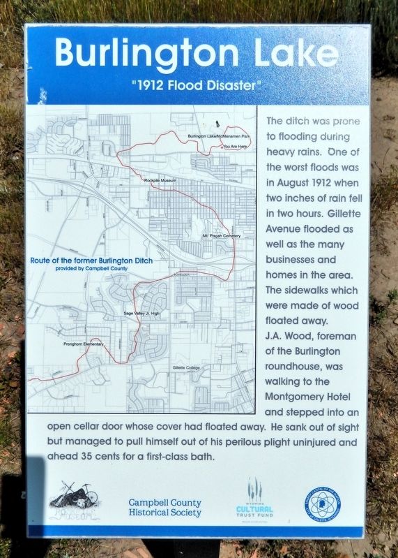
1. 1912 Flood Disaster Marker
The ditch was prone to flooding during heavy rains. One of the worst floods was in August 1912 when two inches of rain fell in two hours. Gillette Avenue flooded as well as the many businesses and homes in the area. The sidewalks which were made of wood floated away.
J.A. Wood, foreman of the Burlington roundhouse, was walking to the Montgomery Hotel and stepped into an open cellar door whose cover had floated away. He sank out of sight but managed to pull himself out of his perilous plight uninjured and ahead 35 cents for a first-class bath.
Erected by Campbell County Historical Society and Wyoming Cultural Trust Fund.
Topics. This historical marker is listed in these topic lists: Disasters • Waterways & Vessels. A significant historical month for this entry is August 1912.
Location. 44° 18.218′ N, 105° 29.601′ W. Marker is in Gillette, Wyoming, in Campbell County. It can be reached from the intersection of East Warlow Drive and North Osborne Avenue, on the left when traveling east. The marker is on the Burlington Lake Trail at McManamen Park. Touch for map. Marker is at or near this postal address: 501 East Warlow Drive,
this page online

Regionally, this marker is in the Powder River Basin. It is also in the American Mountain West, on the Great Plains, on the Northern Plains, and specifically on the High Plains. Globally, it is in North America, the Western Hemisphere, the Western World, and the Anglosphere. Historically, it finds itself in what was once the Louisiana Purchase.
Other nearby markers. At least 8 other markers are within walking distance of this marker: Gillette Beautification (about 300 feet away, measured in a direct line); Fred & Florence Hicks Homestead (about 600 feet away); Flood Waters Under Control (approx. 0.2 miles away); Disposal of the Ditch (approx. 0.2 miles away); Dog-Banning Proposal (approx. 0.2 miles away); Champion of Gillette's Green Spaces (approx. ¼ mile away); City Acquires Ditch Lands (approx. 0.3 miles away); Improvements After the War (approx. 0.3 miles away). Touch for a list and map of all markers in Gillette.
Related markers. Click here for a list of markers that are related to this marker. Burlington Lake Trail
Courtesy Campbell County
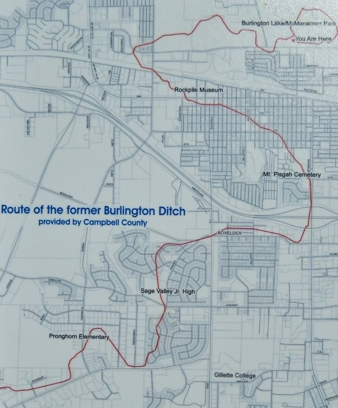
2. Marker detail: Route of the former Burlington Ditch
Photographed by Cosmos Mariner, July 29, 2022
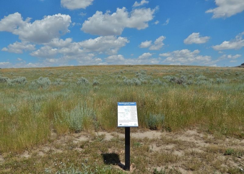
3. 1912 Flood Disaster Marker
Looking north from the Burlington Lake Trail.
Credits. This page was last revised on July 25, 2026. It was originally submitted on July 24, 2026, by Cosmos Mariner of Cape Canaveral, Florida. This page has been viewed 12 times since then. Photos: 1, 2, 3. submitted on July 24, 2026, by Cosmos Mariner of Cape Canaveral, Florida.
