Gillette in Campbell County, Wyoming — The American West (Mountains)
Disposal of the Ditch
Burlington Lake
| — | Burlington Lake Trail | — |
Photographed by Cosmos Mariner, July 29, 2022
1. Disposal of the Ditch Marker
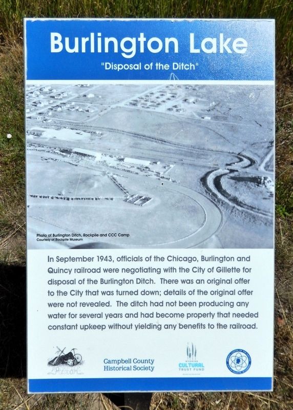
In September 1943, officials of the Chicago, Burlington and Quincy Railroad were negotiating with the City of Gillette for disposal of the Burlington Ditch. There was an original offer to the city that was turned down; details of the original offer were not revealed. The ditch had not been producing any water for several years and had become property that needed constant upkeep without yielding any benefits to the railroad.
Erected by Campbell County Historical Society and Wyoming Cultural Trust Fund.
Topics. This historical marker is listed in these topic lists: Railroads & Streetcars • Waterways & Vessels. A significant historical month for this entry is September 1943.
Location. 44° 18.125′ N, 105° 29.435′ W. Marker is in Gillette, Wyoming, in Campbell County. It can be reached from the intersection of East Warlow Drive and North Osborne Avenue, on the left when traveling east. The marker is on the Burlington Lake Trail at McManamen Park. Touch for map. Marker is at or near this postal address: 501 East Warlow Drive, Gillette WY 82716, United States of America. Touch for directions.

Regionally, this marker is in the Powder
this page online
Other nearby markers. At least 8 other markers are within walking distance of this marker: Flood Waters Under Control (a few steps from this marker); City Acquires Ditch Lands (approx. 0.2 miles away); 1912 Flood Disaster (approx. 0.2 miles away); Improvements After the War (approx. 0.2 miles away); Gillette Beautification (approx. ¼ mile away); Fred & Florence Hicks Homestead (approx. ¼ mile away); Dog-Banning Proposal (approx. 0.3 miles away); McManamen Park Walkway Improved (approx. 0.3 miles away). Touch for a list and map of all markers in Gillette.
Related markers. Click here for a list of markers that are related to this marker. Burlington Lake Trail
Also see . . . History of Burlington Lake (Gillette News Record).
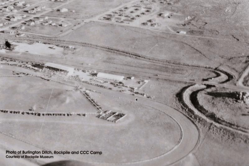
(By Patrick Filbin, 3/7/2017) Excerpt: The city of Gillette look over the lake(Submitted on July 25, 2026, by Cosmos Mariner of Cape Canaveral, Florida.)in 1943 when it was no longer needed by the railroad. The surrounding park was named McManamen Park in 1989 after Jim McManamen, a councilman from 1971-74 and from 1977-84 who lived near the park and who worked tirelessly to have the area turned into a park.Courtesy Rockpile Museum2. Marker detail: Burlington Ditch, Rockpile and CCC Camp
Photographed by Cosmos Mariner, July 29, 2022
3. Disposal of the Ditch Marker
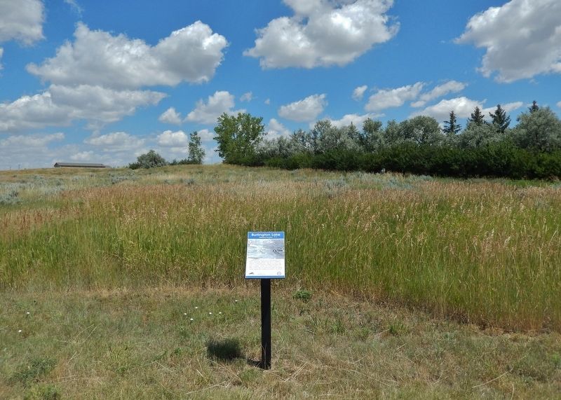
Looking north from the Burlington Lake Trail.
Credits. This page was last revised on July 25, 2026. It was originally submitted on July 24, 2026, by Cosmos Mariner of Cape Canaveral, Florida. This page has been viewed 8 times since then. Photos: 1, 2, 3. submitted on July 24, 2026, by Cosmos Mariner of Cape Canaveral, Florida.
