Gillette in Campbell County, Wyoming — The American West (Mountains)
McManamen Park Walkway Improved
Burlington Lake
| — | Burlington Lake Trail | — |
Photographed by Cosmos Mariner, July 29, 2022
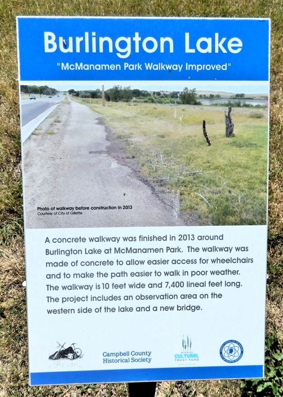
1. McManamen Park Walkway Improved Marker
A concrete walkway was finished in 2013 around Burlington Lake at McManamen Park. The walkway was made of concrete to allow easier access for wheelchairs and to make the path easier to walk in poor weather. The walkway is10 feet wide and 7,400 lineal feet long. The project includes an observation area on the western side of the lake and a new bridge.
[caption] Photo of walkway before construction in 2013.
Erected by Campbell County Historical Society and Wyoming Cultural Trust Fund.
Topics. This historical marker is listed in this topic list: Parks & Recreational Areas. A significant historical year for this entry is 2013.
Location. 44° 17.957′ N, 105° 29.747′ W. Marker is in Gillette, Wyoming, in Campbell County. It can be reached from the intersection of East Warlow Drive and North Osborne Avenue, on the left when traveling east. The marker is on the Burlington Lake Trail at McManamen Park. Touch for map. Marker is at or near this postal address: 501 East Warlow Drive, Gillette WY 82716, United States of America. Touch for directions.

Regionally, this marker is in the Powder River Basin. It is also in the American
this page online
Other nearby markers. At least 8 other markers are within walking distance of this marker: Watering Hole (about 700 feet away, measured in a direct line); Improvements After the War (about 800 feet away); Burlington Ditch (approx. 0.2 miles away); Champion of Gillette's Green Spaces (approx. 0.2 miles away); City Acquires Ditch Lands (approx. ¼ mile away); Dog-Banning Proposal (approx. ¼ mile away); Flood Waters Under Control (approx. 0.3 miles away); Disposal of the Ditch (approx. 0.3 miles away). Touch for a list and map of all markers in Gillette.
Related markers. Click here for a list of markers that are related to this marker. Burlington Lake Trail
Photographed by Cosmos Mariner, July 29, 2022
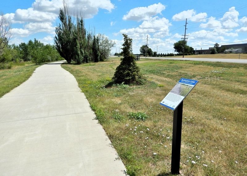
2. McManamen Park Walkway Improved Marker
Credits. This page was last revised on July 25, 2026. It was originally submitted on July 24, 2026, by Cosmos Mariner of Cape Canaveral, Florida. This page has been viewed 11 times since then. Photos: 1, 2. submitted on July 25, 2026, by Cosmos Mariner of Cape Canaveral, Florida.
