Cooper Township near Kalamazoo in Kalamazoo County, Michigan — The American Midwest (Great Lakes)
70s Spreading Our Roots
Photographed by Joel Seewald, March 4, 2026
1. 70s Spreading Our Roots Marker
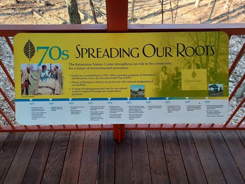
The Kalamazoo Nature Center strengthens our role in the community for a future of environmental awareness.
- Earth Day is established in 1970. With expanded programs in Education and Research, every day becomes Earth Day at KNC.
- Pieces of Michigan's history are preserved with national designation of our facilities.
- A sense of management and care for our natural world is inspired through our conservation practices.
• Kalamazoo County Breeding Bird Survey begins (1970-present)
• Army Corps of Engineers flood control project is opposed; project would destroy our river frontage
1971
• Ralph W. Emerson dedicates Memorial Sundial
1972
• Memorial Arboretum is dedicated
• Bluebird nest box trails established (1972-present)
1973
• Earthmobile visits school and community groups (1973-1982)
• Wild Animal Care and Rehabilitation program begins (1973-2003)
• Kleinstuck Preserve migration study begins (1973-present)
1974
• Wind generator is installed for electricity in Barnyard and energy conservation curriculum is developed
• Reconstructed prairie (now Emma Pitcher Prairie) was planted
1975
• DeLano
this page online
• 2,556 acres of forest and wetlands in Michigan's Upper Peninsula are received
1976
• 1st Southern Kalamazoo County Christmas Bird Count
1977
• Growing Place Annex built with "green" roof (later transformed into "Bugs in Our Lives" exhibit)
1978
• Living Systems program begins including Solar/Self-reliant Homestead (1980-1993)
1979
• DeLano Homestead is listed on the National Registry of Historic Places
• 107 acres in Oshtemo Township received, later named Harris Prairie
• Total land base is 3,226 acres
Left photo caption: Arboretum dedication
Erected by Kalamazoo Nature Center.
Topics. This historical marker is listed in these topic lists: Education • Environment. A significant historical year for this entry is 1970.
Location. 42° 21.625′ N, 85° 34.997′ W. Marker is near Kalamazoo, Michigan, in Kalamazoo County. It is in Cooper Township. It can be reached from Westnedge Ave north of E Ave. Marker is on the bridge leading to the entrance of the visitor center. Touch for map. Marker
Photographed by Joel Seewald, March 4, 2026
2. 70s Spreading Our Roots Marker
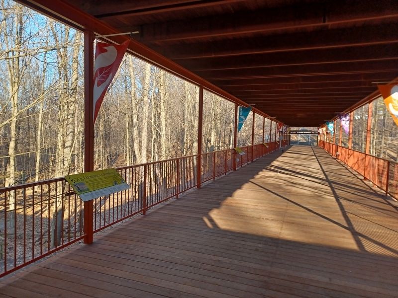
Photo taken from the entrance of the visitor center. This marker is in the distance, the fourth one from the left.

Regionally, this marker is in Southwest Michigan. It is also in the American Midwest. Globally, it is in North America, the Western Hemisphere, the Western World, and the Anglosphere. Historically, it finds itself in what was once the Northwest Territory.
Other nearby markers. At least 8 other markers are within 4 miles of this marker, measured as the crow flies: 60s Planting Seeds (here, next to this marker); 80s Growing Strong (a few steps from this marker); 90s Branching Out (a few steps from this marker); 00s Cultivating a Green Future (within shouting distance of this marker); DeLano Homestead (approx. ¾ mile away); Cooper Congregational Church (approx. 1.8 miles away); Kindleberger Park (approx. 2.6 miles away); The Kalamazoo Region (approx. 3.8 miles away). Touch for a list and map of all markers in Kalamazoo.
Photographed by Joel Seewald, March 4, 2026
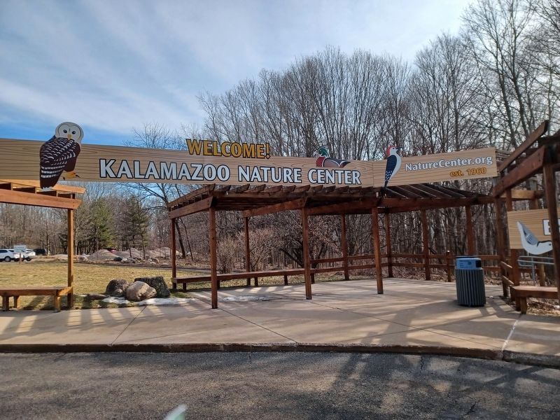
3. Kalamazoo Nature Center sign
Credits. This page was last revised on July 24, 2026. It was originally submitted on July 24, 2026, by Joel Seewald of Madison Heights, Michigan. This page has been viewed 10 times since then. Photos: 1, 2, 3. submitted on July 24, 2026, by Joel Seewald of Madison Heights, Michigan.
