Cooper Township near Plainwell in Kalamazoo County, Michigan — The American Midwest (Great Lakes)
Location of the Old Toll Gate
Photographed by Joel Seewald, March 4, 2026
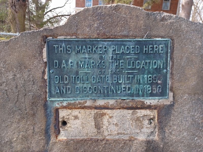
1. Location of the Old Toll Gate Marker
This marker placed here by the D.A.R. marks the location of the old toll gate built in 1852 and discontinued in 1858.
Erected by Daughters of the American Revolution.
Topics and series. This historical marker is listed in this topic list: Roads & Vehicles. In addition, it is included in the Daughters of the American Revolution (DAR) series list. A significant historical year for this entry is 1852.
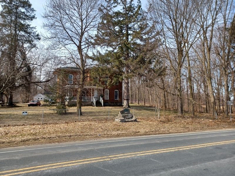
Location. 42° 25.244′ N, 85° 37.635′ W. Marker is near Plainwell, Michigan, in Kalamazoo County. It is in Cooper Township. It is at the intersection of Douglas Avenue and Baseline Road, on the right when traveling south on Douglas Avenue. Touch for map. Marker is at or near this postal address: 10977 Douglas Ave, Plainwell MI 49080, United States of America. Touch for directions.

Regionally, this marker is in Southwest Michigan. It is also in the American Midwest. Globally, it is in North America, the Western Hemisphere, the Western World, and the Anglosphere. Historically, it finds itself in what was once the Northwest Territory.
Other nearby markers. At least 8 other markers are within 5 miles of this marker,
this page online
Another marker is no longer nearby. Early History of Plainwell (was approx. 1.8 miles away but has been permanently removed).
Also see . . . Plank Roads. Information about Kalamazoo area plank roads on Kalamazoo Public Library's website. (Submitted on July 24, 2026, by Joel Seewald of Madison Heights, Michigan.)

Photographed by Joel Seewald, March 4, 2026
2. Location of the Old Toll Gate Marker
Photographed by Joel Seewald, March 4, 2026
3. Location of the Old Toll Gate Marker
Credits. This page was last revised on July 24, 2026. It was originally submitted on July 24, 2026, by Joel Seewald of Madison Heights, Michigan. This page has been viewed 13 times since then. Photos: 1, 2, 3. submitted on July 24, 2026, by Joel Seewald of Madison Heights, Michigan.
