Fredericksburg, Virginia — The American South (Mid-Atlantic)
Eyewitness To Battle
The Diary of Private McCarter, Part 5
Into "The Valley of Death"
| — | Battle Of Fredericksburg | — |
Photographed by Jorge A. Torres, July 24, 2026
1. Eyewitness To Battle- The Diary of Private McCarter, Part 5 Marker
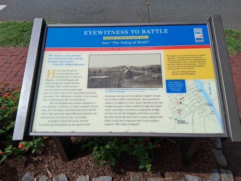
"We reached a canal, probably four or five yards wide, running through a small valley." — Union Pvt. William McCarter
Hurrying forward to join the attack on the Confederates on Marye's Heights, the Irish Brigade had taken temporary shelter behind a hillside, then rushed across a narrow stretch of shell-swept high ground "with a loss of two men killed and three wounded." Pvt. McCarter recalled, "a very small loss considering all the circumstances."
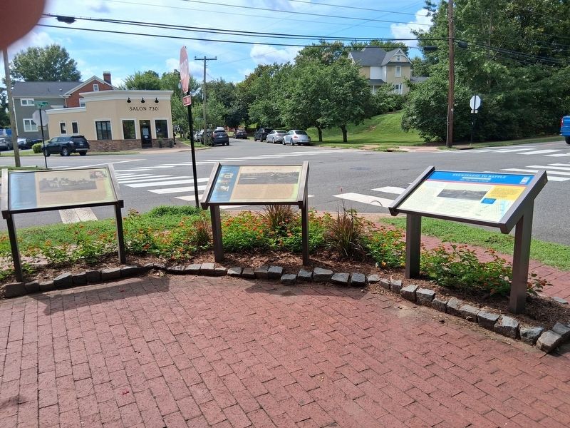
But the brigade was quickly stopped by a new obstacle: a millrace, or water channel, 15 feet wide, five feet deep, and filled with three feet of water. The canal ran where Kenmore Avenue, the road directly in front of you, runs today.
A bridge crossed the canal, but the Confederates had pulled up the span's wood planking, leaving only the skeletal support beams. As artillery shells crashed down, the jammed-up soldiers struggled to cross. Some tiptoed across the bridge remnants: others waded through the frigid water; and others crossed on a makeshift bridge of trees. It took the brigade a half hour to reach the other bank. By day's end, so many soldiers had fallen in
this page online
"The regiment, now over the canal, was quickly reformed ... along the base of another hill which also covered it from the Confederate fire ... [Only] the hill in front ... intervened between Hancock's division and the enemy ... the long lines of armed men [waited] with breathless anxiety for the word 'Forward.'"(captions)
Union Pvt. William McCarter, My Life in the Irish Brigade
View taken from Federal Hill, about 300 yards behind you, of the ground crossed by the Irish Brigade. - Courtesy Library of Congress
This is Stop 5 of a 6-stop trail following the story of William McCarter and the Irish Brigade.
Erected 2026 by Virginia Civil War Trails. (Marker Number 5.)
Topics and series. This historical marker is listed in this topic list: War, US Civil. In addition, it is included in the Virginia Civil War Trails series list. A significant historical date for this entry is December 13, 1862.
Location. 38° 17.951′ N, 77° 27.907′ W. Marker is in Fredericksburg, Virginia. It is at the intersection of Hanover Street and Kenmore Avenue, on the right when traveling south
Photographed by Jorge A. Torres, July 24, 2026
2. Eyewitness To Battle- The Diary of Private McCarter, Part 5 Marker

Regionally, this marker is in the Washington Metropolitan Area and in Northern Virginia. It is also in the American South and specifically in the Upper South. Globally, it is in North America, the Western Hemisphere, the Western World, and the Anglosphere. Historically, it finds itself in what was once the territory of the Mississippian Culture, one of the original Thirteen Colonies, one of the Confederate States of America, and the Antebellum South.
Other nearby markers. At least 8 other markers are within walking distance of this marker: The Canal Ditch (a few steps from this marker); Marye's Heights (a few steps from this marker); Ravaged Town (a few steps from this marker); 1849 (about 300 feet away, measured in a direct line); The Rowe House (about 400 feet away); Barton Street Confederate Monument (about 500 feet away); The Barton Street Potter's Field (about 600 feet away); Liberty Town (about 700 feet away). Touch for a list and map of all markers in Fredericksburg.
Other markers no longer nearby. Marye’s Heights (was a few steps from this marker but has been replaced with another marker now near it); a different marker also named The Canal Ditch (was a few steps from this marker but has been replaced with another marker now near it); a different marker also named Ravaged Town (was a few steps from this marker but has been replaced with another marker now near it); Fredericksburg Campaign (was within shouting distance of this marker but has been confirmed missing).
Credits. This page was last revised on July 29, 2026. It was originally submitted on July 25, 2026, by Jorge A. Torres of Springfield, Virginia. This page has been viewed 22 times since then. Photos: 1, 2. submitted on July 25, 2026, by Jorge A. Torres of Springfield, Virginia. • Bernard Fisher was the editor who published this page.
