Elizabethton in Carter County, Tennessee — The American South (East South Central)
Sycamore Tree
| — | Elizabethton Walking Tour | — |
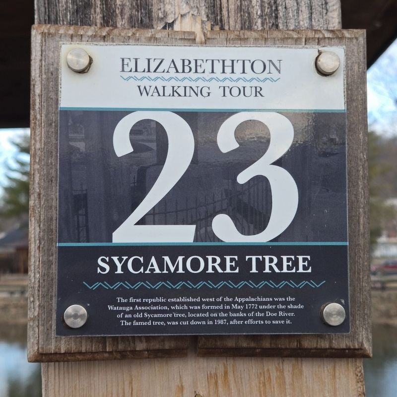
Photographed by Mark Parker, February 12, 2026
1. Sycamore Tree Marker
(Marker Number 23.)
Topics and series. This historical marker is listed in these topic lists: Horticulture & Forestry • Notable Events. In addition, it is included in the Historic Trees series list. A significant historical year for this entry is 1772.
Location. 36° 20.85′ N, 82° 12.731′ W. Marker is in Elizabethton, Tennessee, in Carter County. It is on South Riverside Drive north of Hattie Avenue, on the right when traveling north. Touch for map. Marker is at or near this postal address: 109 S Riverside Drive, Elizabethton TN 37643, United States of America. Touch for directions.

Regionally, this marker is in East Tennessee and in the Tri-Cities Area. It is also in the American South, specifically in the Upper South, in Appalachia, and specifically in Southern Appalachia. Globally, it is in North America, the Western Hemisphere, the Western World, and
this page online
Other nearby markers. At least 8 other markers are within walking distance of this marker: First Court West of the Alleghenies (a few steps from this marker); The Covered Bridge (within shouting distance of this marker); a different marker also named Covered Bridge (within shouting distance of this marker); Dungan House (within shouting distance of this marker); Rhudy House (about 300 feet away, measured in a direct line); Banks Law Office (about 400 feet away); Hunter Cottage (about 500 feet away); City of Elizabethton Bicentennial (about 500 feet away). Touch for a list and map of all markers in Elizabethton.
Another marker is no longer nearby. Old Post Office (was about 500 feet away but has been confirmed missing).
Related marker. Click here for another marker that is related to this marker.
Also see . . . Watauga Association (Wikipedia). Overview:
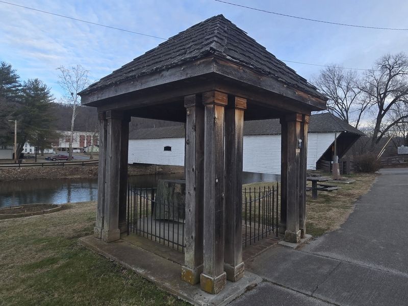
The Watauga Association(Submitted on July 25, 2026.)(sometimes referred to as the Republic of Watauga) was a semi-autonomous government created in 1772 by frontier settlers living along the Watauga River in what is now Elizabethton, Tennessee. Although it lasted only a few years, the Watauga Association provided a basis for what later developed into the state of Tennessee and likely influenced other western frontier governments in the trans-Appalachian region. North Carolina annexed the Watauga settlement area, by then known as the Washington District, in November 1776. Within a year, the area was placed under a county government, becoming Washington County, North Carolina, in November 1777.…Photographed by Mark Parker, February 12, 20262. Sycamore Tree Marker at the right front post of the Sycamore Tree shelter
Photographed by Mark Parker, February 12, 2026
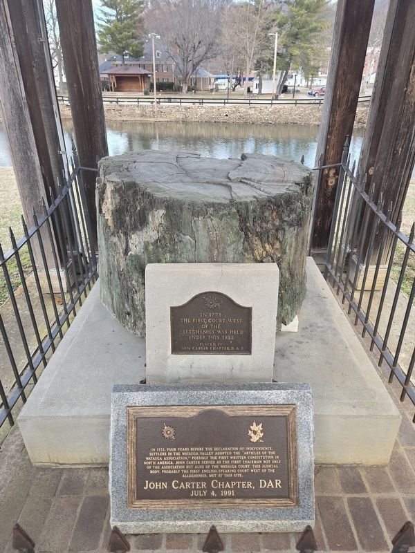
3. Historic Sycamore Tree and marker of First Court West of the Alleghanies
Credits. This page was last revised on July 25, 2026. It was originally submitted on July 25, 2026, by Mark Parker of Hickory, North Carolina. This page has been viewed 8 times since then. Photos: 1, 2, 3. submitted on July 25, 2026, by Mark Parker of Hickory, North Carolina. • Andrew Ruppenstein was the editor who published this page.
