Goderich in Huron County, Ontario — Central Canada (North America)
The Crab and Lee Families
| — | Goderich Marine Heritage Walkway | — |
Photographed by Tim Boyd, July 15, 2026
1. The Crab and Lee Families Marker
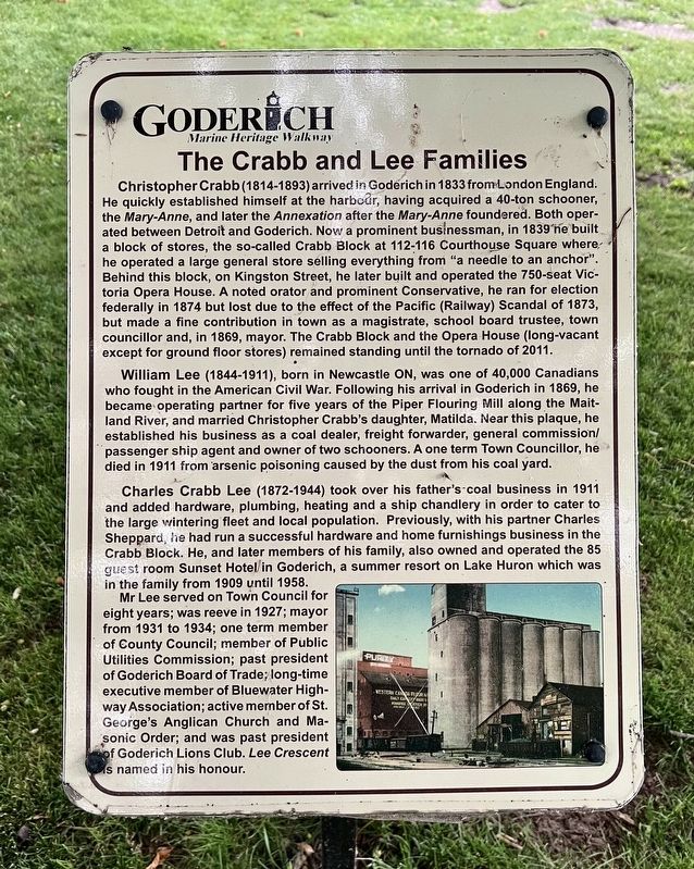
Christopher Crabb (1814-1893) arrived in Goderich in 1833 from London England. He quickly established himself at the harbour, having acquired a 40-ton schooner, the Mary-Anne, and later the Annexation after the Mary-Anne foundered. Both operated between Detroit and Goderich. Now a prominent businessman, in 1839 he built a block of stores, the so-called Crabb Block at 112-116 Courthouse Square where he operated a large general store selling everything from "a needle to an anchor". Behind this block, on Kingston Street, he later built and operated the 750-seat Victoria Opera House. A noted orator and prominent Conservative, he ran for election federally in 1874 but lost due to the effect of the Pacific (Railway) Scandal of 1873, but made a fine contribution in town as a magistrate, school board trustee, town councillor and, in 1869, mayor. The Crabb Block and the Opera House (long-vacant except for ground floor stores) remained standing until the tornado of 2011.
William Lee (1844-1911), born in Newcastle ON, was one of 40,000 Canadians who fought in the American Civil War. Following his arrival in Goderich in 1869,
this page online
Charles Crabb Lee (1872-1944) took over his father's coal business in 1911 and added hardware, plumbing, heating and a ship chandlery in order to cater to the large wintering fleet and local population. Previously, with his partner Charles Sheppard, he had run a successful hardware and home furnishings business in the Crabb Block. He, and later members of his family, also owned and operated the 85 guest room Sunset Hotel in Goderich, a summer resort on Lake Huron which was in the family from 1909 until 1958.
Mr Lee served on Town Council for eight years; was reeve in 1927; mayor from 1931 to 1934; one term member of County Council; member of Public Utilities Commission; past president of Goderich Board of Trade: long-time executive
Photographed by Tim Boyd, July 15, 2026
2. The Crab and Lee Families Marker
Topics. This historical marker is listed in these topic lists: Charity & Public Work • Industry & Commerce • Settlements & Settlers • Waterways & Vessels. A significant historical year for this entry is 1833.
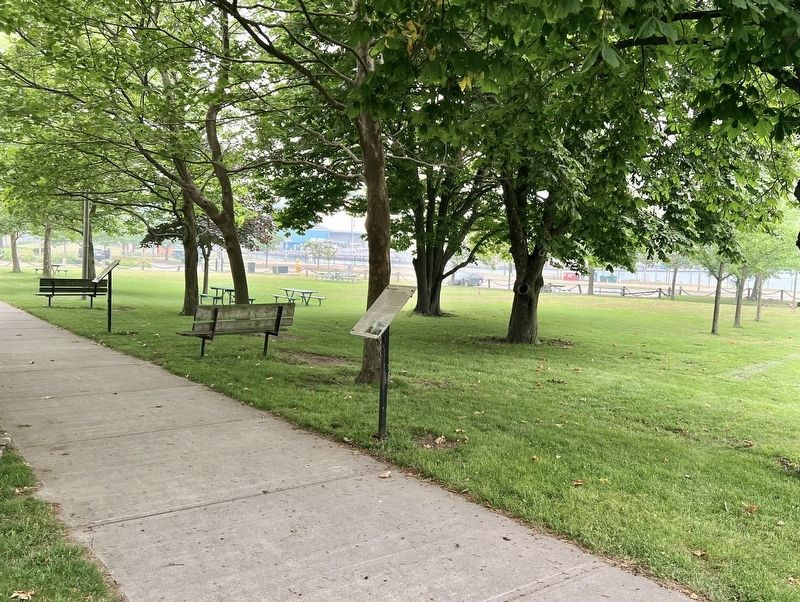
Location. 43° 44.648′ N, 81° 43.462′ W. Marker is in Goderich, Ontario, in Huron County. It is on Cove Road, on the right when traveling north. The marker is in a park between Cove Road and Beach Road, the third marker on the left side of the walkway when entering from Cove Road. Touch for map. Marker is at or near this postal address: 1 Cove Rd, Goderich ON N7A 2K2, Canada. Touch for directions.

Regionally, this marker is in the Huron-Perth-Waterloo-Wellington Area and in Southwestern Ontario. It is also in Central Canada. Globally, it is in North America, on the Great Lakes, in the Western Hemisphere, in the Western World, and in the Anglosphere. Historically, it finds itself in what was once a British colony,
Photographed by Tim Boyd, July 15, 2026
3. The Crab and Lee Families Marker
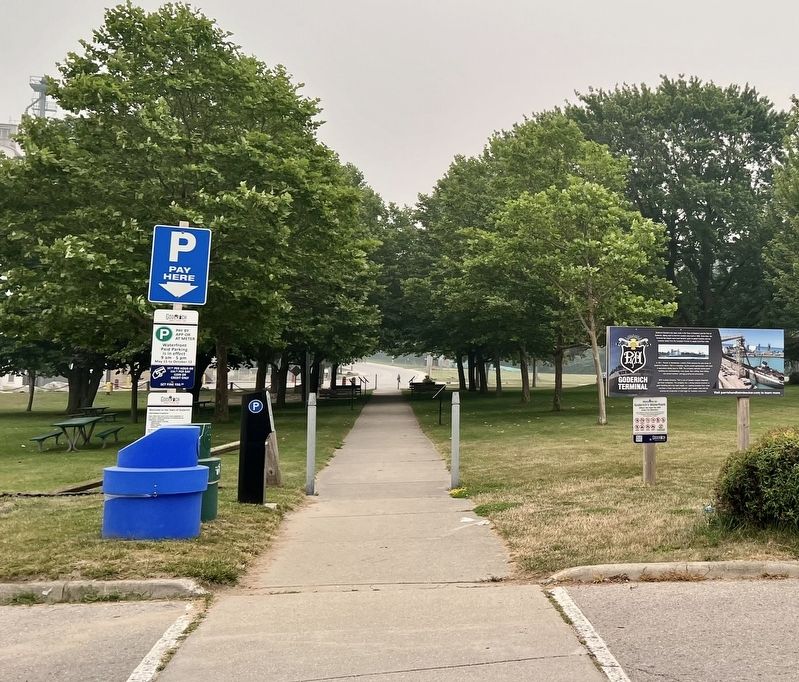
The marker is the third on the left side of the walkway
Other nearby markers. At least 8 other markers are within walking distance of this marker: The Lower Town Community (here, next to this marker); The Goderich Elevators (a few steps from this marker); The Waterworks (within shouting distance of this marker); Imperial Oil Storage Tanks (within shouting distance of this marker); The Last Canadian Coal Fired Lake Freighter (within shouting distance of this marker); Menesetung Mineral Springs (within shouting distance of this marker); The Ocean House Hotel (within shouting distance of this marker); Canada Company Piers (about 120 meters away, measured in a direct line). Touch for a list and map of all markers in Goderich.
Credits. This page was last revised on July 25, 2026. It was originally submitted on July 25, 2026, by Tim Boyd of Hamilton, Ontario. This page has been viewed 14 times since then. Photos: 1, 2, 3. submitted on July 25, 2026, by Tim Boyd of Hamilton, Ontario. • Andrew Ruppenstein was the editor who published this page.
