
Orange in Orange County, Virginia — The American South (Mid-Atlantic)
In Memory of the Dead
Photographed by Evan Dwyer, June 11, 2026
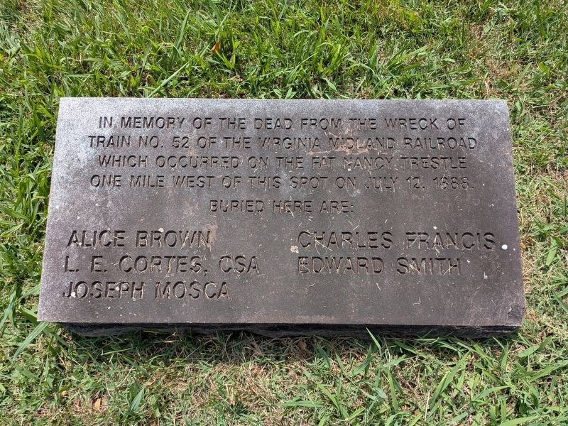
1. In Memory of the Dead Marker
Train No. 52 of the Virginia Midland Railroad
which occurred on the Fat Nancy Trestle
one mile west of this spot on July 12, 1888.
Buried here are:
Alice Brown Charles Francis
L.E. Cortes, CSA Edward Smith
Joseph Mosca
Topics. This historical marker is listed in these topic lists: Cemeteries & Burial Sites • Disasters • Railroads & Streetcars. A significant historical date for this entry is July 12, 1888.
Location. 38° 14.62′ N, 78° 7.627′ W. Marker is in Orange, Virginia, in Orange County. It can be reached from Constitution Highway 0.1 miles north of Columbus Road, on the left when traveling east. Marker is within Graham Cemetery. Touch for map. Marker is at or near this postal address: 14191 Constitution Highway, Orange VA 22960, United States of America. Touch for directions.

Regionally, this marker is in Northern Virginia and in the Piedmont. It is also in the American South and specifically in the Upper South. Globally, it is in North America, the Western Hemisphere, the Western World, and the Anglosphere. Historically, it finds itself in what was
this page online
Other nearby markers. At least 8 other markers are within walking distance of this marker: Orange Graded School (approx. half a mile away); Lafayette’s Tour (approx. ¾ mile away); Gen. R.E. Lee (approx. ¾ mile away); St. Thomas Church (approx. ¾ mile away); Capt. Andrew Maples Jr., Tuskegee Airman (approx. 0.8 miles away); Montpelier and Madison's Tomb (approx. 0.9 miles away); World War I Memorial (approx. 0.9 miles away); Korean War Memorial (approx. 0.9 miles away). Touch for a list and map of all markers in Orange.

Photographed by Evan Dwyer, June 11, 2026
2. In Memory of the Dead Marker
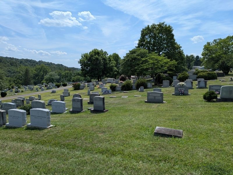
Marker is in the middle of a group burial area, set horizontally.
Photographed by Evan Dwyer, June 11, 2026
3. In Memory of the Dead Marker
View from the marker facing west down the turnpike towards the trestle and accident site.

Photographed by Evan Dwyer, June 11, 2026
4. Fat Nancy Trestle Site
The culvert seen here replaced the trestle later in 1888 after the collapse. The railroad bed trace is the clear path heading up into the stand of woods. The railroad now runs south of the turnpike rather than on this route.
Photographed by Unknown, 1888
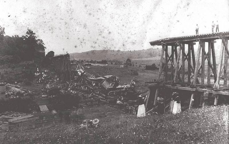
5. Fat Nancy Trestle Wreck
Photographed by Evan Dwyer, June 11, 2026
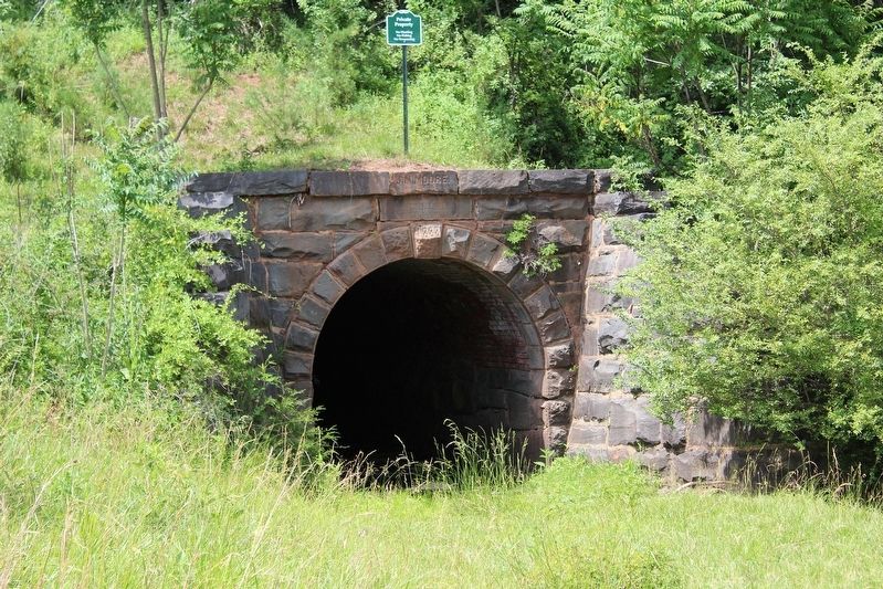
6. 1888 Culvert
Engraved with the name of the engineer that designed the culvert even before the trestle collapse required its construction. He also lost his life in the disaster.
Credits. This page was last revised on July 26, 2026. It was originally submitted on July 25, 2026, by Evan Dwyer of Richmond, Virginia. This page has been viewed 5 times since then. Photos: 1, 2, 3, 4, 5, 6. submitted on July 25, 2026, by Evan Dwyer of Richmond, Virginia.
