Chancellorsville in Spotsylvania County, Virginia — The American South (Mid-Atlantic)
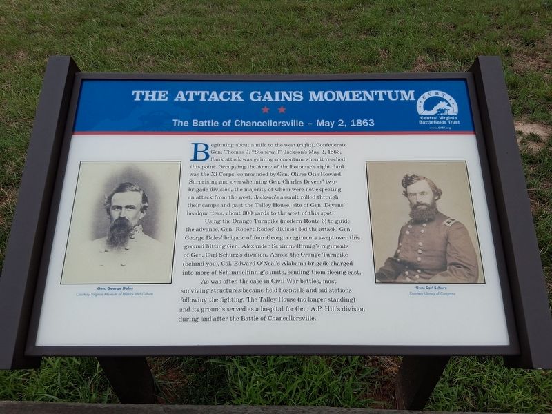
The Attack Gains Momentum
The Battle Of Chancellorsville - May 2, 1863
Photographed by Jorge A. Torres, July 25, 2026
1. The Attack Gains Momentum Marker
Using the Orange Turnpike (modern Route 3) to guide the advance, Gen. Robert Rodes' division led the attack. Gen. George Doles' brigade of four Georgia regiments swept over this ground hitting Gen. Alexander Schimmelfinnig's regiments of Gen. Carl Schurz's division. Across the Orange Turnpike (behind you), Col. Edward O'Neal's Alabama brigade charged into more of Schimmelfinnig's units, sending them fleeing east.
As was often the case in Civil War battles, most surviving structures became field hospitals and aid stations following the fighting. The Talley House (no longer
this page online
(captions)
Gen. George Doles Courtesy Virginia Museum of History and Culture
Gen. Carl Schurz Courtesy Library of Congress
Erected 2026 by Central Virginia Battlefields Trust.
Topics. This historical marker is listed in this topic list: War, US Civil. A significant historical date for this entry is May 2, 1863.
Location. 38° 18.631′ N, 77° 40.573′ W. Marker is in Chancellorsville, Virginia, in Spotsylvania County. It is on Plank Road (Virginia Route 3) 0.2 miles west of Orange Plank Road (County Route 621), on the right when traveling east. Touch for map. Marker is at or near this postal address: 9832 Plank Rd, Spotsylvania VA 22553, United States of America. Touch for directions.

Regionally, this marker is in the Washington Metropolitan Area, in Northern Virginia, and in the Piedmont. It is also in the American South, specifically in the Upper South, in the Mid-Atlantic, and on the Eastern Seaboard. Globally, it is in the North Atlantic Region, North America, the Western Hemisphere, the Western
Photographed by Jorge A. Torres, July 25, 2026
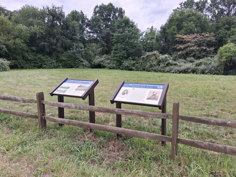
2. The Attack Gains Momentum Marker
Other nearby markers. At least 8 other markers are within 2 miles of this marker, measured as the crow flies: Pressing the Attack (approx. 0.4 miles away); Recipe for Union Disaster (approx. 0.4 miles away); Jackson Attacks (approx. 0.4 miles away); 154th New York State Volunteer Infantry (approx. half a mile away); Civil War Earthworks (approx. 1.3 miles away); Brig. Gen. E. F. Paxton, C.S.A. (approx. 1.3 miles away); Elisha Franklin Paxton (approx. 1.3 miles away); Night-time Horror (approx. 1.3 miles away).
Another marker is no longer nearby. The Flying Dutchmen (was approx. 0.4 miles away but has been replaced with another marker now near it).
Also see . . . Chancellorsville. Central Virginia Battlefields Trust (CVBT) (Submitted on August 2, 2026.)
Credits. This page was last revised on August 2, 2026. It was originally submitted on July 25, 2026, by Jorge A. Torres of Springfield, Virginia. This page has been viewed 30 times since then. Photos: 1, 2. submitted on July 25, 2026, by Jorge A. Torres of Springfield, Virginia. • Bernard Fisher was the editor who published this page.
