Goderich in Huron County, Ontario — Central Canada (North America)
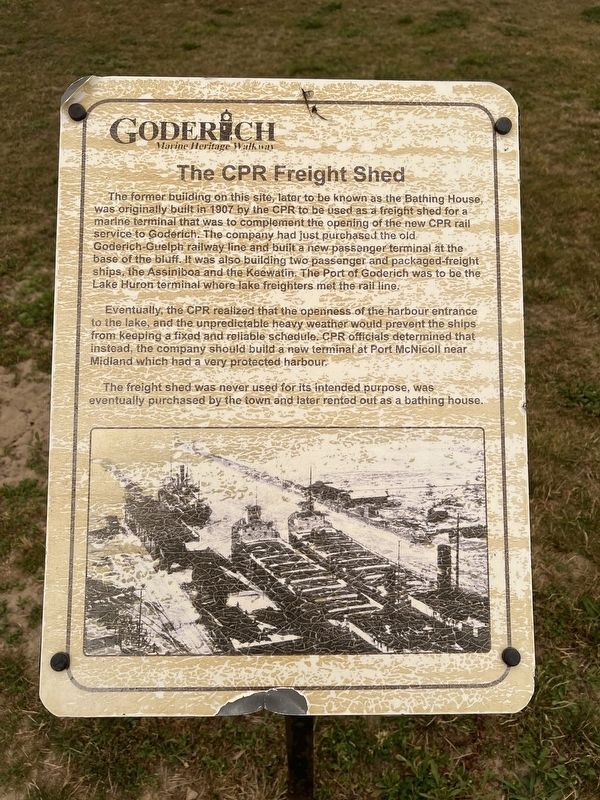
The CPR Freight Shed
| — | Goderich Marine Heritage Walkway | — |
Photographed by Tim Boyd, July 15, 2026
1. The CPR Freight Shed Marker
Eventually, the CPR realized that the openness of the harbour entrance to the lake, and the unpredictable heavy weather would prevent the ships from keeping a fixed and reliable schedule. CPR officials determined that instead, the company should build a new terminal at Port McNicoll near Midland which had a very protected harbour.
The freight shed was never used for its intended purpose, was eventually purchased by the town and later rented out as a bathing house.
Topics. This historical marker is listed in these topic lists: Industry & Commerce • Railroads & Streetcars
this page online
Location. 43° 44.693′ N, 81° 43.556′ W. Marker is in Goderich, Ontario, in Huron County. It is on Harbour Street, on the left when traveling north. The marker is on a walkway accessible from the Main Beach or through the Rotary Beach House, approx. 50 meters from Harbour Street. Touch for map. Marker is at or near this postal address: 270 Harbour Street, Goderich ON N7A 4J8, Canada. Touch for directions.

Regionally, this marker is in the Huron-Perth-Waterloo-Wellington Area and in Southwestern Ontario. It is also in Central Canada. Globally, it is in North America, on the Great Lakes, in the Western Hemisphere, in the Western World, and in the Anglosphere. Historically, it finds itself in what was once a British colony, the Viceroyalty of New France, the Haudenosaunee (Iroquois) Confederacy, and Rupert’s Land.
Other nearby markers. At least 8 other markers are within walking distance of this marker: The Bathing House (here, next to this marker); Goderich Harbour (here, next to this marker); Vicki Keith (a few steps from this marker); Working at the Bathing House
Photographed by Tim Boyd, July 15, 2026
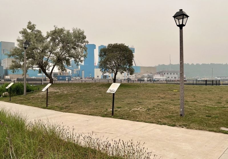
2. The CPR Freight Shed Marker
At center of photo
Photographed by Tim Boyd, July 15, 2026
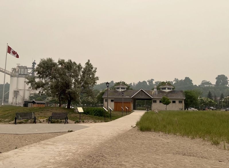
3. The CPR Freight Shed Marker
Looking towards the Rotary Beach House and Harbour Street, the marker is the furthest from the camera on the left side of the walkway
Credits. This page was last revised on July 27, 2026. It was originally submitted on July 26, 2026, by Tim Boyd of Hamilton, Ontario. This page has been viewed 14 times since then. Photos: 1, 2, 3. submitted on July 26, 2026, by Tim Boyd of Hamilton, Ontario. • Andrew Ruppenstein was the editor who published this page.
