Inglis in Riding Mountain West Municipality, Manitoba — Canada’s Prairie Region (North America)
The Reliance Grain Company - La Reliance Grain Company
The Murphy Foundation - La Murphy Foundation
Photographed by Jimmy Emerson, June 26, 2013
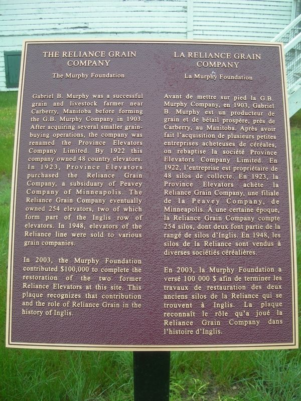
1. The Reliance Grain Company Marker

The Murphy Foundation
Gabriel B. Murphy was a successful grain and livestock farmer near Carberry, Manitoba before forming the G.B. Murphy Company in 1903. After acquiring several smaller grain-buying operations, the company was renamed the Province Elevators Company Limited. By 1922 this company owned 48 country elevators. In 1923, Province Elevators purchased the Reliance Grain Company, a subsiduary of Peavey Company of Minneapolis. The Reliance Grain Company eventually owned 254 elevators, two of which form part of the Inglis row of elevators. In 1948, elevators of the Reliance line were sold to various grain companies.
In 2003, the Murphy Foundation contributed $100,000 to complete the restoration of the two former Reliance Elevators at this site. This plaque recognizes that contribution and the role of Reliance Grain in the history of Inglis.
La Murphy Foundation
Avant de mettre sur pied la G.B. Murphy Company, en 1903, Gabriel B. Murphy est un producteur de grain et de bétail prospère, près de Carberry, au Manitoba. Après avoir
this page online
En 2003, la Murphy Foundation a versé 100 000 $ afin de terminer les travaux de restauration des deux anciens silos de la Reliance qui se trouvent à Inglis. La plaque reconnaît le rôle qu'a joué la Reliance Grain Company dans l'histoire d'Inglis.
Topics. This historical marker is listed in these topic lists: Agriculture • Industry & Commerce. A significant historical year for this entry is 1903.
Location. 50° 56.657′ N, 101° 14.96′ W. Marker is in Inglis, Manitoba, in Riding Mountain West Municipality. It is on Railway Avenue, on the right when traveling north. Touch for map. Marker is at or near this postal address: 140
Photographed by Jimmy Emerson, June 26, 2013
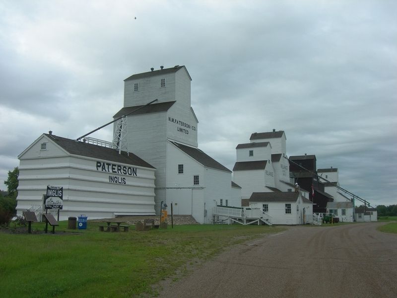
2. Inglis Grain Elevators
The Reliance marker is in front of the Reliance Elevators near the green and red wagons in the distance.

Regionally, this marker is in the Parkland Region. It is also in the Prairies. Globally, it is in North America, the Western Hemisphere, the Western World, and the Anglosphere. Historically, it finds itself in what was once a British colony, the Viceroyalty of New France, and Rupert’s Land.
Other nearby markers. At least 4 other markers are within 19 kilometers of this marker, measured as the crow flies: Elevator Five - The Paterson Elevator (within shouting distance of this marker); Inglis Grain Elevators (within shouting distance of this marker); a different marker also named Inglis Grain Elevators (about 90 meters away, measured in a direct line); History of the Town of Russell (approx. 18.5 kilometers away).
Photographed by Jimmy Emerson, June 26, 2013
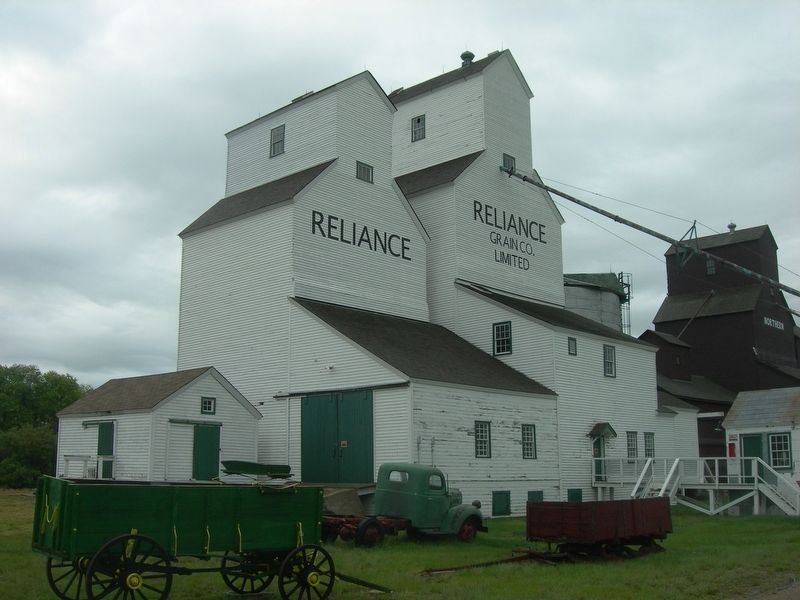
3. The Reliance Grain Company - La Reliance Grain Company & Marker
You can see the very top edge of the marker to the right of the red wagon at the level of the stair rail.
Credits. This page was last revised on July 27, 2026. It was originally submitted on July 26, 2026, by Jimmy Emerson of Dalton, Georgia. This page has been viewed 12 times since then. Photos: 1, 2, 3. submitted on July 26, 2026, by Jimmy Emerson of Dalton, Georgia. • Andrew Ruppenstein was the editor who published this page.
