Ellensburg in Kittitas County, Washington — The American West (Northwest)
Inland Empire Highway
Photographed by Clayton Pickett, May 20, 2025
1. Inland Empire Highway Marker
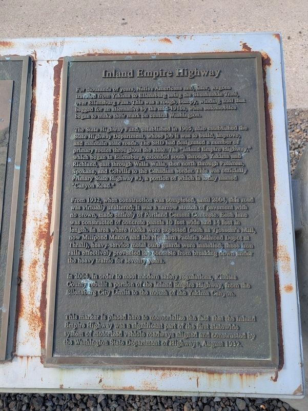
The State Highway Fund, established in 1905, also established the State Highway Department, whose job it was to build, improve, and maintain state roads. The SHD had designated a number of primary routes throughout the state. The "Inland Empire Highway," which began in Ellensburg, extended south through Yakima and Richland, east through Walla Walla, then north through Pullman, Spokane, and Colville to the Canadian border. This was officially Primary State Highway #3, a portion of which is today named "Canyon Road."
From 1932, when construction was completed, until 2004, this road was virtually unaltered; it was a narrow stretch of pavement with no crown, made entirely of Portland Cement Concrete. Each lane was constructed of concrete panels 10 feet wide and 14 feet in length. In area where trucks were expected (such as Tjossem's
this page online
In 2004, in order to meet modern safety regulations, Kittitas County rebuilt a portion of the Inland Empire Highway, from the Ellensburg City Limits to the mouth of the Yakima Canyon.
This marker is placed here to memorialize the fact that the Inland Empire Highway was a significant part of the first statewide system of motorized vehicle roadways aligned and constructed by the Washington State Department of Highways, August 1932.
Topics. This historical marker is listed in this topic list: Roads & Vehicles. A significant historical month for this entry is August 1932.
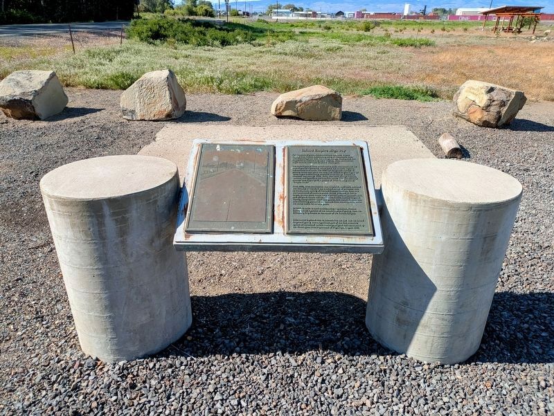
Location. 46° 55.493′ N, 120° 30.574′ W. Marker is in Ellensburg, Washington, in Kittitas County. It is on South Canyon Road (Washington Route 821) 0.1 miles south of Thrall Road ( Route 821), on the left when traveling south. Touch for map. Marker is in this post office area: Ellensburg WA 98926, United States of America. Touch for directions.

Regionally,
Photographed by Clayton Pickett, May 20, 2025
2. Inland Empire Highway Marker
Other nearby markers. At least 5 other markers are within 14 miles of this marker, measured as the crow flies: Olmstead Cabin 1875 (approx. 3.8 miles away); Robbers Roost (approx. 5.2 miles away); Beck Memorial (approx. 8 miles away); The Thorp Grist Mill (approx. 13.2 miles away); A prairie transformed (approx. 13.2 miles away).
Credits. This page was last revised on August 1, 2026. It was originally submitted on July 26, 2026, by Clayton Pickett of Richland, Washington. This page has been viewed 16 times since then. Photos: 1, 2. submitted on July 26, 2026, by Clayton Pickett of Richland, Washington. • Andrew Ruppenstein was the editor who published this page.
