Near Fort Peck in McCone County, Montana — The American West (Mountains)
Dredging Up The Earth To Build A Dam
June 20, 2026
1. Dredging Up The Earth To Build A Dam Marker
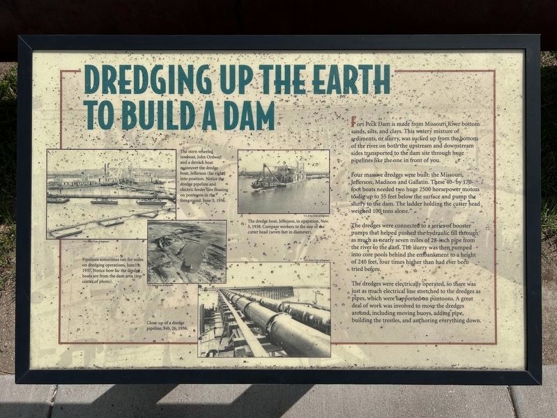
Four massive dredges were built: the Missouri, Jefferson, Madison and Gallatin. These 40- by 170-foot boats needed two huge 2500 horsepower motors to dig up to 55 feet below the surface and pump the slurry to the dam. The ladder holding the cutter head weighed 100 tons alone.
The dredges were connected to a series of booster pumps that helped pushed the hydraulic fill through as much as nearly seven miles of 28-inch pipe from the river to the dam. The slurry was then pumped into core pools behind the embankment to a height of 240 feet, four times higher than had ever been tried before.
The dredges were electrically operated, so there was just as much electrical line stretched to the dredges as pipes, which were supported on pontoons. A great deal of work was involved to move the dredges around, including moving buoys, adding pipe,
this page online
U.S. Army Corps of Engineers
The stern wheeled towboat, John Ordway, and a derrick boat maneuver the dredge boat, Jefferson (far right) into position. Notice the dredge pipeline and electric feeder line floating on pontoons in the foreground. June 3, 1936.
U.S. Army Corps of Engineers
The dredge boat, Jefferson, in operation, Nov. 5, 1938. Compare workers to the size of the cutter head (seven feet in diameter).
U.S. Army Corps of Engineers
Pipelines sometimes ran for miles on dredging operations, June 15, 1937. Notice how far the dredge boats are from the dam area (top center of photo).
U.S. Army Corps of Engineers
Close-up of a dredge pipeline, Feb. 26, 1936.
Topics. This historical marker is listed in these topic lists: Charity & Public Work • Waterways & Vessels.
Location. 48° 0.555′ N, 106° 25.284′ W. Marker is near Fort Peck, Montana, in McCone County. It can be reached from Yellowstone Road 1.2 miles west of Montana Highway 24. Located in the parking area in front of Fort Peck Interpretive Center. Touch for map.
June 20, 2026
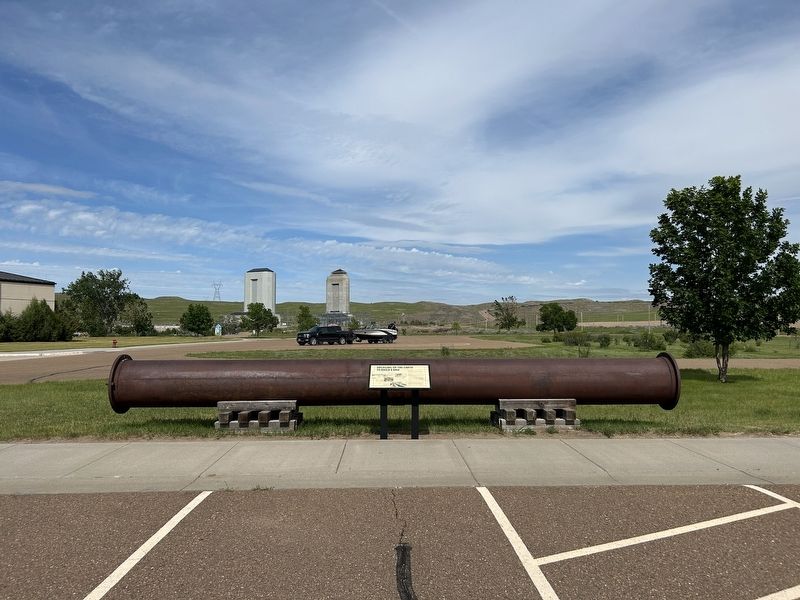
2. Dredging Up The Earth To Build A Dam Marker & Dredge Pipe

Regionally, this marker is in the American Mountain West, in the Lewis & Clark Corridor, on the prairies, on the Great Plains, and specifically on the Northern Plains. Globally, it is in North America, the Western Hemisphere, the Western World, and the Anglosphere. Historically, it finds itself in what was once Rupert’s Land and also the Louisiana Purchase.
Other nearby markers. At least 8 other markers are within walking distance of this marker: Boomtowns on the Outskirts (about 300 feet away, measured in a direct line); Powerful Afterthoughts (about 300 feet away); Town Built for a Dam (about 300 feet away); Diverting the Mighty Missouri (about 300 feet away); In Memory (approx. one mile away); Built with Muscle and Muck (approx. one mile away); Fort Peck Dam (approx. one mile away); The Slide of '38 (approx. one mile away). Touch for a list and map of all markers in Fort Peck.
June 20, 2026
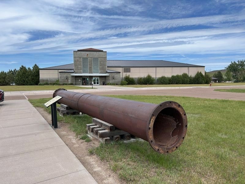
3. Dredging Up The Earth To Build A Dam Marker & Dredge Pipe
Fort Peck Interpretive Center can be seen in the background.
June 20, 2026
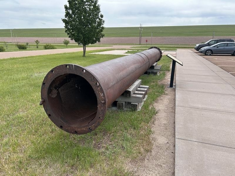
4. Dredging Up The Earth To Build A Dam Marker & Dredge Pipe
Part of Fort Peck Dam can be seen in the background.
Credits. This page was last revised on July 27, 2026. It was originally submitted on July 26, 2026. This page has been viewed 14 times since then. Photos: 1, 2, 3, 4. submitted on July 26, 2026.
