Near Fort Peck in Valley County, Montana — The American West (Mountains)
Swing Bridge
Here and Gone
June 20, 2026
1. Swing Bridge Marker
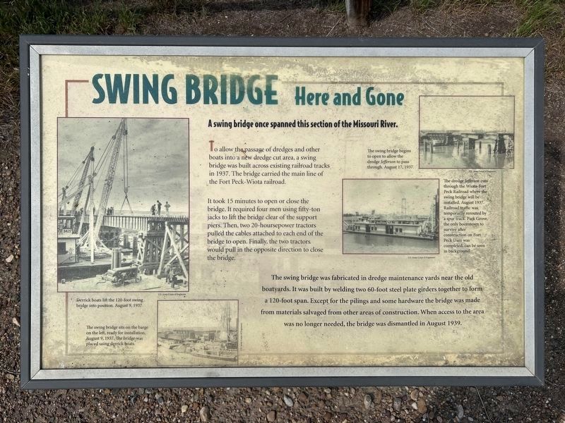
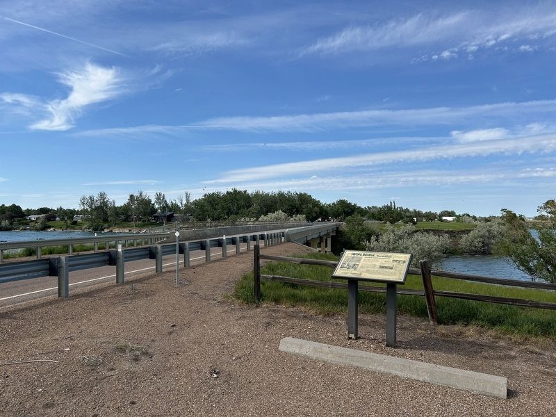
A swing bridge once spanned this section of the Missouri River.
To allow the passage of dredges and other boats into a new dredge cut area, a swing bridge was built across existing railroad tracks in 1937. The bridge carried the main line of the Fort Peck-Wiota railroad.
It took 15 minutes to open or close the bridge. It required four men using fifty-ton jacks to lift the bridge clear of the support piers. Then, two 20-hoursepower tractors pulled the cables attached to each end of the bridge to open. Finally, the two tractors would pull in the opposite direction to close the bridge.
The swing bridge was fabricated in dredge maintenance yards near the old boatyards. It was built by welding two 60-foot steel plate girders together to form a 120-foot span. Except for the pilings and some hardware the bridge was made from materials salvaged from other areas of construction. When access to the area was no longer needed, the bridge was dismantled in August 1939.
U.S. Army Corps of Engineers.
Derrick boats lift the 120-foot swing bridge into position. August 9, 1937.
U.S. Army Corps of Engineers.
The swing bridge sits on the barge on the left, ready for installation, August 9, 1937. The bridge was placed using derrick boats.
U.S. Army Corps of Engineers.
The swing bridge begins to open to allow the dredge Jefferson to pass through. August 17, 1937.
U.S. Army Corps of Engineers.
The dredge Jefferson cuts through the Wiota-Fort Peck Railroad where the swing bridge will be installed, August 1937. Railroad traffic was temporarily rerouted by a spur track. Park Grove, the only boomtown to survive after construction on Fort Peck Dam was completed, can be seen in background.
Topics.
this page online
Location. 48° 1.645′ N, 106° 26.68′ W. Marker is near Fort Peck, Montana, in Valley County. It can be reached from Judith Road (Highway 117) 0.7 miles north of New Deal Road. Located in a parking area north of Roundhouse Point Recreation Area. Touch for map. Marker is in this post office area: Nashua MT 59248, United States of America. Touch for directions.

Regionally, this marker is in Montana’s Missouri River Country. It is also in the American Mountain West, in the Lewis & Clark Corridor, on the prairies, on the Great Plains, and specifically on the Northern Plains. Globally, it is in North America, the Western Hemisphere, the Western World, and the Anglosphere. Historically, it finds itself in what was once Rupert’s Land and also the Louisiana Purchase.
Other nearby markers. At least 8 other markers are within 2 miles of this marker, measured as the crow flies: Dredging Up (within shouting distance of this
June 20, 2026
2. Swing Bridge Marker
June 20, 2026
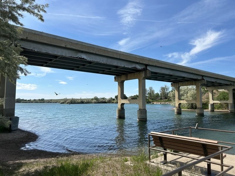
3. The current bridge over the Missouri River, from below
Credits. This page was last revised on July 27, 2026. It was originally submitted on July 26, 2026. This page has been viewed 14 times since then. Photos: 1, 2, 3. submitted on July 26, 2026.
