Near Fort Peck in Valley County, Montana — The American West (Mountains)
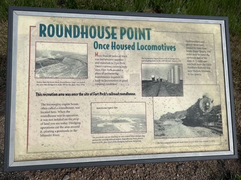
Roundhouse Point
Once Housed Locomotives
June 20, 2026
1. Roundhouse Point Marker
This recreation area was once the site of Fort Peck's railroad roundhouse.
More than 60 miles of track was laid to carry supplies and materials to Fort Peck Dam's various construction sites. Fort Peck needed a place to perform the maintenance required to keep its locomotives in good running condition.
The locomotive engine house, often called a roundhouse, was located here. When the roundhouse was in operation, it was not isolated on the strip of land you see today. Dredging operations cut the area around it, creating a peninsula in the Missouri River.
Field boulders and quarry stone were hauled by train from Snake Butte Quarry 130 miles away to cover the upstream face of the dam. A 12-mile spur was built from the Great Northern Railroad line near Harlem, Montana, to the quarry.
U.S. Army Corps of Engineers.
Notice how far from shore Roundhouse Point was before the area was dredged to make fill for the dam. May 1934.
U.S. Army Corps of Engineers.
The peninsula you are standing on was created when dredges dug around the existing railroad station. Roundhouse Point, shown here in 1938, after most of the dredging had been completed.
U.S. Army Corps of Engineers.
The locomotive engine house, fuel oil storage tanks, and refueling tanks in the railroad yard, August 1934.
U.S. Army Corps of Engineers.
The last trainload of rock left Snake Butte for Fort Peck Dam, August 15, 1939.
Topics.
this page online
Location. 48° 1.613′ N, 106° 26.673′ W. Marker is near Fort Peck, Montana, in Valley County. It can be reached from Judith Road (State Highway 117) 0.7 miles north of New Deal Road. Located in a parking area north of Roundhouse Point Recreation Area. Touch for map. Marker is in this post office area: Nashua MT 59248, United States of America. Touch for directions.

Regionally, this marker is in Montana’s Missouri River Country. It is also in the American Mountain West, in the Lewis & Clark Corridor, on the prairies, on the Great Plains, and specifically on the Northern Plains. Globally, it is in North America, the Western Hemisphere, the Western World, and the Anglosphere. Historically, it finds itself in what was once Rupert’s Land and also the Louisiana Purchase.
Other nearby markers. At least 8 other markers are within 2 miles of this marker, measured as the crow flies: Dredging Up (a few steps from this marker); Swing Bridge (within
June 20, 2026
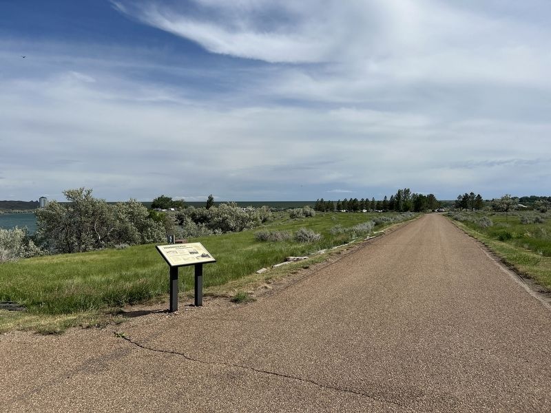
2. Roundhouse Point Marker
Roundhouse Point Recreation Area can be seen in the background.
June 20, 2026
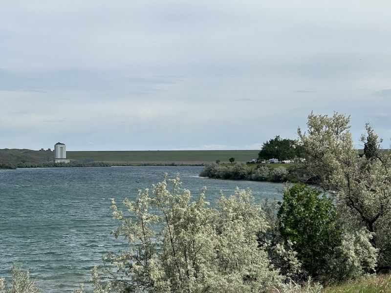
3. View of Roundhouse Point jutting into the Missouri River
Credits. This page was last revised on July 27, 2026. It was originally submitted on July 26, 2026. This page has been viewed 19 times since then. Photos: 1, 2, 3. submitted on July 26, 2026.
