Near Fort Peck in McCone County, Montana — The American West (Mountains)
Fort Peck Spillway
Monument in Concrete
June 21, 2026
1. Fort Peck Spillway Marker
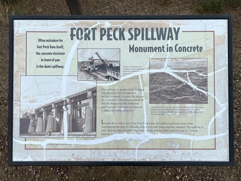
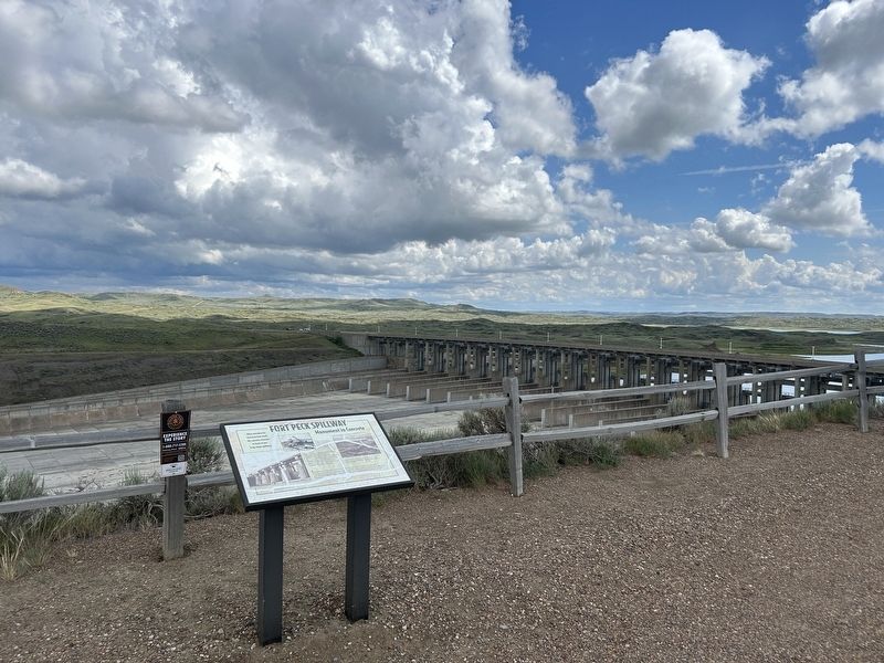
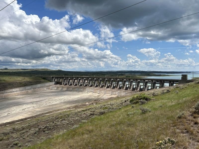
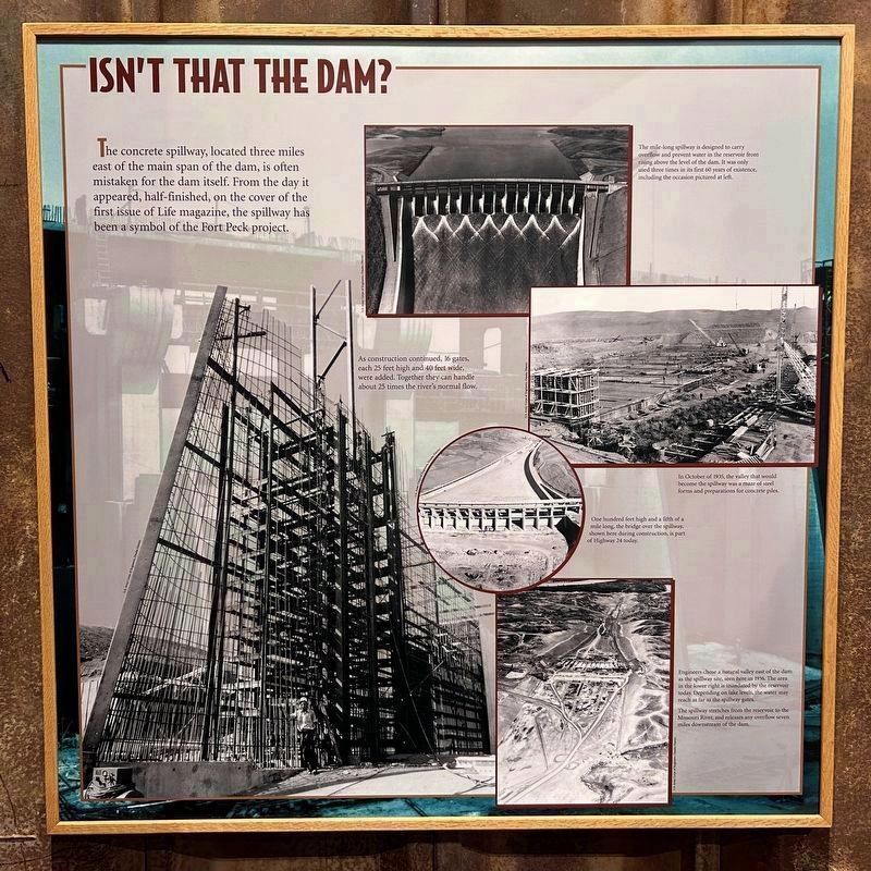
Often mistaken for Fort Peck Dam itself, the concrete structure in front of you is the dam's spillway.
Located three miles east of the Fort Peck Dam, the spillway prevents water from overtopping the dam by releasing it down its mile-long concrete channel. The spillway is only used during extremely high water levels, and has been used just five times in its history: 1975, 1976, 1979, 1997 and 2011.
The spillway is capable of discharging 250,000 cubic feet of water per second, or nearly 25 times the normal flow volume of the Missouri River. At that discharge rate, the water may reach speeds of 65 miles per hour as it passes the cutoff structure.
U.S. Army Corps of Engineers.
Each gate is 25 feet by 40 feet and weighs 80 tons. Gates 1 through 5 shown here in August 1937; less than a year before the spillway was finished.
U.S. Army Corps of Engineers.
Workers used dozens of bulldozers and shovels, and hundreds of dump trucks to dig and grade the steep hillsides to create the spillway, March 1935.
U.S. Army Corps of Engineers.
Measuring more than one mile long and 800 feet wide, the spillway required over 14 million cubic yards of excavation, 53 million pounds of steel, and 560,000 cubic yards of concrete. Shown here in October 1939.
Topics.
this page online
Location. 48° 1.446′ N, 106° 21.241′ W. Marker is near Fort Peck, Montana, in McCone County. It can be reached from State Highway 24 6.2 miles east of State Highway 117. Located at an overlook on the west side of the Fort Peck Dam spillway. Touch for map. Marker is in this post office area: Nashua MT 59248, United States of America. Touch for directions.

Regionally, this marker is in the American Mountain West, in the Lewis & Clark Corridor, on the prairies, on the Great Plains, and specifically on the Northern Plains. Globally, it is in North America, the Western Hemisphere, the Western World, and the Anglosphere. Historically, it finds itself in what was once Rupert’s Land and also the Louisiana Purchase.
Other nearby markers. At least 8 other markers are within 2 miles of this marker, measured as the crow flies: "...much broken grannite...scattered...in a confused manner" (approx. 1.6 miles away); "these appearances of cottonwood were quite reviving" (approx. 1.6 miles
June 21, 2026
2. Fort Peck Spillway Marker
June 21, 2026
3. Nearby View of Fort Peck Spillway
June 20, 2026
4. Information Panel at Fort Peck Interpretive Center
Credits. This page was last revised on July 27, 2026. It was originally submitted on July 26, 2026. This page has been viewed 24 times since then. Photos: 1, 2, 3, 4. submitted on July 26, 2026.
