Kelleys Island in Erie County, Ohio — The American Midwest (Great Lakes)
The Camp Patmos Lighthouse
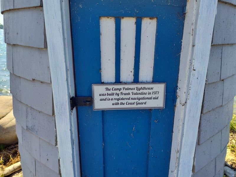
Photographed by Craig Doda, July 4, 2026
1. The Camp Patmos Lighthouse Marker
Topics and series. This historical marker is listed in this topic list: Waterways & Vessels. In addition, it is included in the Lighthouses series list. A significant historical year for this entry is 1971.
Location. 41° 36.875′ N, 82° 41.146′ W. Marker is on Kelleys Island, Ohio, in Erie County. It is at the intersection of Monaghan Road and Beech Street, on the right when traveling north on Monaghan Road. Touch for map. Marker is at or near this postal address: 920 Monaghan Rd, Kelleys Island OH 43438, United States of America. Touch for directions.

Regionally, this marker is on the Lake Erie Shore and in the Western Reserve. It is also in the American Midwest and in the Corn Belt. Globally, it is in North America, on the Great Lakes, in the Western Hemisphere, in the Western World, and in the Anglosphere. Historically, it finds itself in what was once the Haudenosaunee (Iroquois) Confederacy, the territory of the Mississippian Culture, and the Northwest Territory.
Other nearby markers. At
this page online
Another marker is no longer nearby. Glacial Grooves State Memorial (was approx. 1.1 miles away but has been permanently removed).

Photographed by Craig Doda, July 4, 2026
2. The Camp Patmos Lighthouse Marker
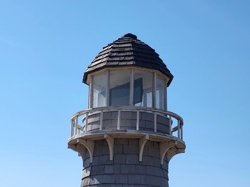
Photographed by Craig Doda, July 4, 2026
3. The Camp Patmos Lighthouse Marker
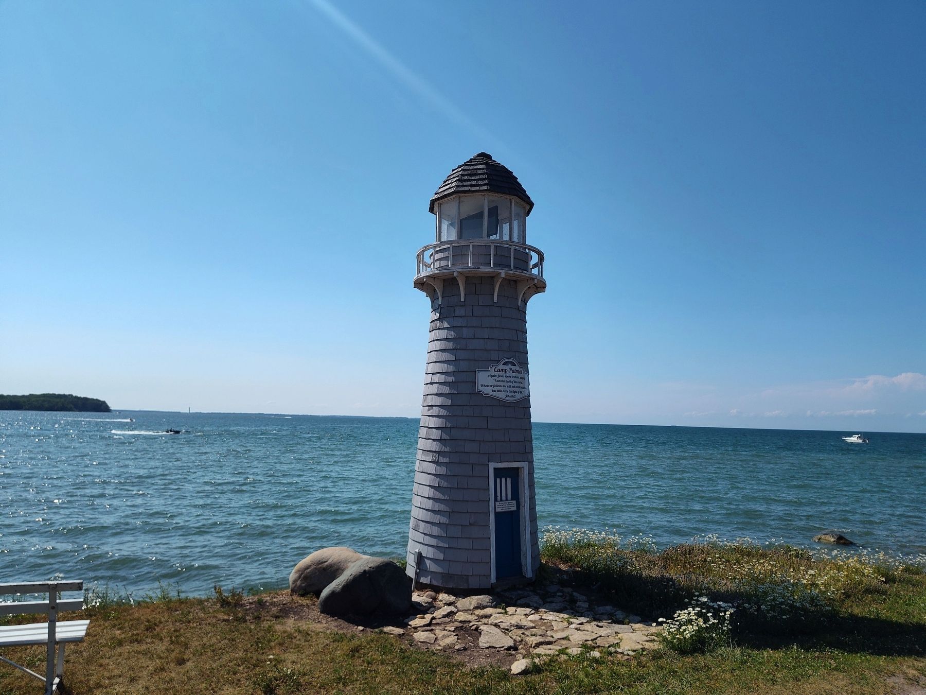
Photographed by Craig Doda, July 4, 2026
4. The Camp Patmos Lighthouse Marker
Credits. This page was last revised on August 1, 2026. It was originally submitted on July 27, 2026, by Craig Doda of Napoleon, Ohio. This page has been viewed 13 times since then. Photos: 1, 2, 3, 4. submitted on July 27, 2026, by Craig Doda of Napoleon, Ohio. • Andrew Ruppenstein was the editor who published this page.
