Kelleys Island in Erie County, Ohio — The American Midwest (Great Lakes)
Quarrying
Photographed by Craig Doda, July 4, 2026
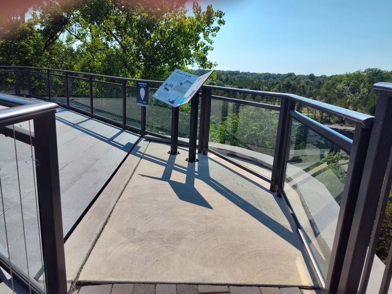
1. Quarrying Marker
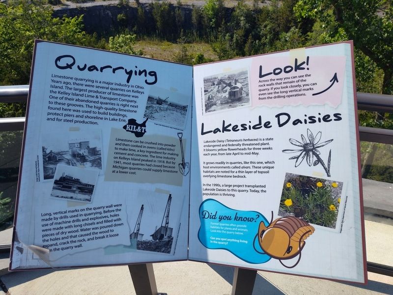
Limestone quarrying is a major industry in Ohio. Years ago, there were several quarries on Kelleys Island. The largest producer of limestone was the Kelley Island Lime & Transport Company. One of their abandoned quarries is right next to these grooves. The high-quality limestone found here was used to build buildings, protect piers and shoreline in Lake Erie, and for steel production.
KIL&T
Limestone can be crushed into powder and then cooked in ovens (called kilns) to make lime, a key ingredient for making cement and concrete. The lime industry on Kelleys Island peaked in 1918. But by 1941, most quarries had closed because Michigan quarries could supply limestone at a lower cost.
Long, vertical marks on the quarry wall were made by drills used in quarrying. Before the use of machine drills and explosives, holes were made with long chisels and filled with pieces of dry wood. Water was poured down the holes and that caused the wood to expand, crack the rock, and break it loose from the quarry wall.
Look!
Across the way you can see the rock walls that remain of the quarry. If you look closely, you can even
this page online
Lakeside Daisies
Lakeside Daisy (Tetraneuris herbacea) is a state endangered and federally threatened plant. It blooms yellow flowerheads for three weeks each year, from late April to mid-May.
It grows readily in quarries, like this one, which host environments called alvars. These unique habitats are noted for a thin layer of topsoil overlying limestone bedrock.
In the 1990s, a large project transplanted Lakeside Daisies to this quarry. Today, the population is thriving.
Did you know?
Former quarries often provide habitats for plants and animals. Look into the quarry below.
Can you spot anything living in the quarry?
Topics. This historical marker is listed in these topic lists: Environment • Industry & Commerce. A significant historical year for this entry is 1918.
Location. 41° 36.972′ N, 82° 42.458′ W. Marker is on Kelleys Island, Ohio, in Erie County. It is at the intersection of Division Street and Titus Road, on the right when traveling south on Division Street. Touch for map. Marker is at or near this postal address: 110 Titus Road, Kelleys Island OH 43438,
Photographed by Craig Doda, July 4, 2026
2. Quarrying Marker

Regionally, this marker is on the Lake Erie Shore and in the Western Reserve. It is also in the American Midwest and in the Corn Belt. Globally, it is in North America, on the Great Lakes, in the Western Hemisphere, in the Western World, and in the Anglosphere. Historically, it finds itself in what was once the Haudenosaunee (Iroquois) Confederacy, the territory of the Mississippian Culture, and the Northwest Territory.
Other nearby markers. At least 8 other markers are within walking distance of this marker: Excavation (a few steps from this marker); Welcome to Glacial Grooves Geological Preserve (about 300 feet away, measured in a direct line); Island History (about 300 feet away); The Crusher Trail (about 400 feet away); The Small, but Mighty (about 600 feet away); The Crusher Process (about 600 feet away); a different marker also named The Crusher Trail (about 700 feet away); Columbus Limestone / Kelleys Island Lime & Transport Co. (about 700 feet away). Touch for a list and map of all markers in Kelleys Island.
Another marker is no longer nearby. Glacial Grooves State Memorial (was about 300 feet away but has been permanently removed).
Credits. This page was last revised on August 1, 2026. It was originally submitted on July 27, 2026, by Craig Doda of Napoleon, Ohio. This page has been viewed 15 times since then. Photos: 1, 2. submitted on July 27, 2026, by Craig Doda of Napoleon, Ohio. • Andrew Ruppenstein was the editor who published this page.
