Kelleys Island in Erie County, Ohio — The American Midwest (Great Lakes)
North Bay Quarry
Photographed by Craig Doda, July 4, 2026
1. North Bay Quarry Marker
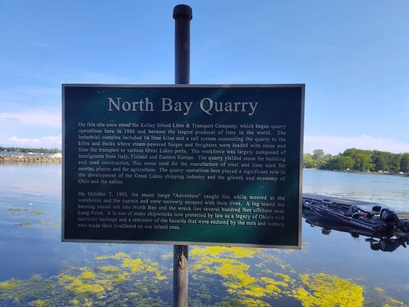
On this site once stood the Kelley Island Lime & Transport Company, which began quarry operations here in 1886 and became the largest producer of lime in the world. The industrial complex included 16 lime kilns and a rail system connecting the quarry to the kilns and docks where steam-powered barges and freighters were loaded with stone and lime for transport to various Great Lakes ports. The workforce was largely composed of immigrants from Italy, Finland and Eastern Europe. The quarry yielded stone for building and road construction, flux stone used for the manufacture of steel and lime used for mortar, plaster and for agriculture. The quarry operations here played a significant role in the development of the Great Lakes shipping industry and the growth and economy of Ohio and the nation.
On October 7, 1903, the steam barge "Adventure" caught fire while moored at the warehouse and the captain and crew narrowly escaped with their lives. A tug towed the burning vessel out into North Bay and the wreck lies several hundred feet offshore near Long Point. It is one of many shipwrecks now protected by law as a legacy of
this page online
Topics. This historical marker is listed in these topic lists: Disasters • Industry & Commerce • Natural Resources • Waterways & Vessels. A significant historical date for this entry is October 7, 1903.
Location. 41° 37.027′ N, 82° 42.235′ W. Marker is on Kelleys Island, Ohio, in Erie County. It is at the intersection of Division Street and Titus Road, on the right when traveling north on Division Street. Touch for map. Marker is at or near this postal address: 936 Division St, Kelleys Island OH 43438, United States of America. Touch for directions.

Regionally, this marker is on the Lake Erie Shore and in the Western Reserve. It is also in the American Midwest and in the Corn Belt. Globally, it is in North America, on the Great Lakes, in the Western Hemisphere, in the Western World, and in the Anglosphere. Historically, it finds itself in what was once the Haudenosaunee (Iroquois) Confederacy, the territory of the Mississippian Culture, and the Northwest Territory.
Other nearby markers. At
Photographed by Craig Doda, July 4, 2026
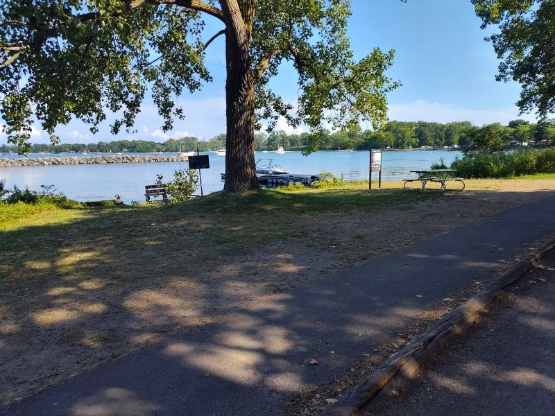
2. North Bay Quarry Marker
Another marker is no longer nearby. Glacial Grooves State Memorial (was about 800 feet away but has been permanently removed).
Credits. This page was last revised on August 5, 2026. It was originally submitted on July 27, 2026, by Craig Doda of Napoleon, Ohio. This page has been viewed 13 times since then. Photos: 1, 2. submitted on July 27, 2026, by Craig Doda of Napoleon, Ohio. • Devry Becker Jones was the editor who published this page.
