Goderich in Huron County, Ontario — Central Canada (North America)
Goderich Harbour
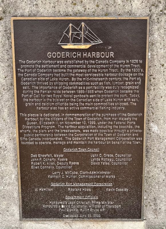
Photographed by Tim Boyd, July 15, 2026
1. Goderich Harbour Marker
This plaque is dedicated, in commemoration of the purchase of the Goderich Harbour, by the citizens of the Town of Goderich, from Her Majesty the Queen, Elizabeth II, on November 10, 1999, under the Federal Ports Divestiture Program. The harbour acquisition, including the beaches, the wharfs,
this page online
(Town Council members and other names not transcribed)
Erected 2000.
Topics. This historical marker is listed in these topic lists: Industry & Commerce • Settlements & Settlers • Waterways & Vessels. A significant historical year for this entry is 1826.
Location. 43° 44.694′ N, 81° 43.562′ W. Marker is in Goderich, Ontario, in Huron County. It is on Harbour Street, on the left when traveling north. The marker is on the lefthand side of a walkway accessible from Goderich Main Beach, or through the Rotary Beach Hut, approx. 60 meters from Harbour Road. Touch for map. Marker is at or near this postal address: 270 Harbour Street, Goderich ON N7A 4J8, Canada. Touch for directions.

Regionally, this marker is in the Huron-Perth-Waterloo-Wellington Area and in Southwestern Ontario. It is also in Central Canada. Globally, it is in North
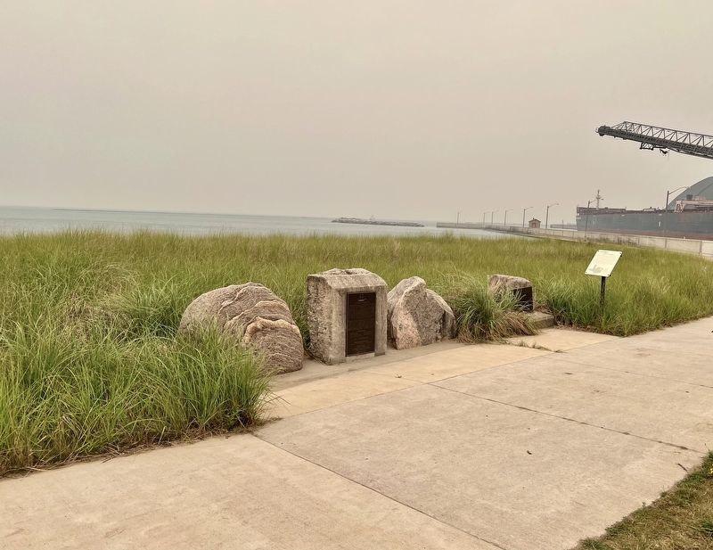
Photographed by Tim Boyd, July 15, 2026
2. Goderich Harbour Marker
Other nearby markers. At least 8 other markers are within walking distance of this marker: Vicki Keith (here, next to this marker); The Bathing House (here, next to this marker); Goderich Salt Mine (here, next to this marker); Working at the Bathing House (here, next to this marker); The CPR Freight Shed (here, next to this marker); Fish Shanties (a few steps from this marker); Ship Island (a few steps from this marker); a different marker also named Goderich Harbour (a few steps from this marker). Touch for a list and map of all markers in Goderich.
Photographed by Tim Boyd, July 15, 2026
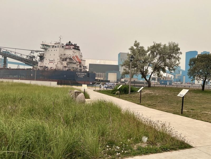
3. Goderich Harbour Marker
Looking from Roatary Beach Hut, the marker is attached to the stone visible mid-way down the walkway
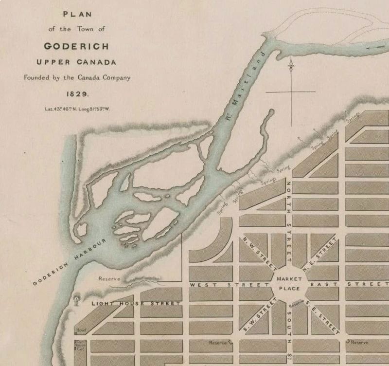
4. The original Canada Company plan for Goderich and its harbour, 1829
Source: University of Guelph (public domain)
Credits. This page was last revised on August 1, 2026. It was originally submitted on July 28, 2026, by Tim Boyd of Hamilton, Ontario. This page has been viewed 13 times since then. Photos: 1, 2, 3, 4. submitted on July 28, 2026, by Tim Boyd of Hamilton, Ontario. • Andrew Ruppenstein was the editor who published this page.
